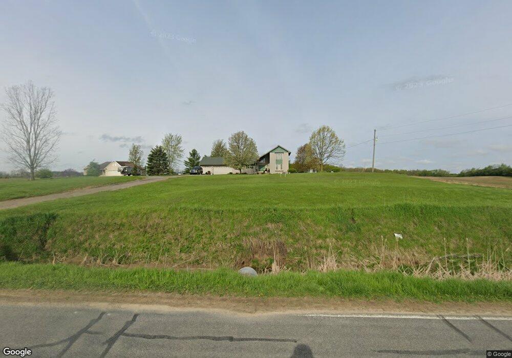
8250 S Wacousta Rd Saint Johns, MI 48879
Estimated Value: $368,000 - $461,000
4
Beds
3
Baths
3,292
Sq Ft
$120/Sq Ft
Est. Value
About This Home
This home is located at 8250 S Wacousta Rd, Saint Johns, MI 48879 and is currently estimated at $394,560, approximately $119 per square foot. 8250 S Wacousta Rd is a home located in Clinton County with nearby schools including St. Johns High School.
Ownership History
Date
Name
Owned For
Owner Type
Purchase Details
Closed on
Dec 21, 2011
Sold by
Babbitt Debra M and Kohagen Debra M
Bought by
Babbitt Debra M
Current Estimated Value
Home Financials for this Owner
Home Financials are based on the most recent Mortgage that was taken out on this home.
Original Mortgage
$165,450
Outstanding Balance
$66,322
Interest Rate
3.97%
Mortgage Type
New Conventional
Estimated Equity
$328,238
Purchase Details
Closed on
Mar 7, 2008
Sold by
Hammond Thomas B
Bought by
Kohagen Debra M
Home Financials for this Owner
Home Financials are based on the most recent Mortgage that was taken out on this home.
Original Mortgage
$226,000
Interest Rate
5.74%
Mortgage Type
Purchase Money Mortgage
Create a Home Valuation Report for This Property
The Home Valuation Report is an in-depth analysis detailing your home's value as well as a comparison with similar homes in the area
Purchase History
| Date | Buyer | Sale Price | Title Company |
|---|---|---|---|
| Babbitt Debra M | -- | Title Connect Llc | |
| Kohagen Debra M | $237,875 | First American Title Ins Co |
Source: Public Records
Mortgage History
| Date | Status | Borrower | Loan Amount |
|---|---|---|---|
| Open | Babbitt Debra M | $165,450 | |
| Closed | Kohagen Debra M | $226,000 |
Source: Public Records
Tax History
| Year | Tax Paid | Tax Assessment Tax Assessment Total Assessment is a certain percentage of the fair market value that is determined by local assessors to be the total taxable value of land and additions on the property. | Land | Improvement |
|---|---|---|---|---|
| 2025 | $3,581 | $206,600 | $33,900 | $172,700 |
| 2024 | $16 | $174,400 | $33,900 | $140,500 |
| 2023 | $1,470 | $147,000 | $0 | $0 |
| 2022 | $3,253 | $132,400 | $27,600 | $104,800 |
| 2021 | $3,095 | $130,600 | $23,000 | $107,600 |
| 2020 | $3,008 | $130,700 | $19,400 | $111,300 |
| 2019 | $2,897 | $125,200 | $15,700 | $109,500 |
| 2018 | $2,793 | $108,200 | $14,300 | $93,900 |
| 2017 | -- | $119,100 | $13,300 | $105,800 |
| 2016 | $2,878 | $116,100 | $11,500 | $104,600 |
| 2015 | -- | $112,400 | $0 | $0 |
| 2011 | -- | $116,700 | $0 | $0 |
Source: Public Records
Map
Nearby Homes
- 7900 Church Rd
- 11191 W Chadwick Rd
- 10349 S Francis Rd
- 10880 S Francis Rd
- 11471 S Bauer Rd
- 6260 W Chadwick Rd
- 7895 W Herbison Rd
- 4975 W Cutler Rd
- 11781 W Herbison Rd
- 0 S Grange Rd
- 10696 W Clark Rd
- 11500 Eden Trail
- 4270 Calipso Ct
- 11740 Kalamata Dr
- 14013 Ambrosia Ave
- 11625 Murano Dr Unit 63
- 3535 Stanwood Dr
- 5600 S Dewitt Rd
- 12684 Airport Rd
- 4083 W Herbison Rd
- 8215 S Wacousta Rd
- 8470 S Wacousta Rd
- 0 Hopp Rd St Unit 55288
- 9100 Hopp Rd
- 8091 S Wacousta Rd
- 9051 W Pratt Rd
- 9315 W Pratt Rd
- Vl S Wacousta Parcel F Rd
- 8500 S Wacousta Rd
- 8521 S Wacousta Rd
- 8950 W Pratt Rd
- 9400 Hopp Rd
- 9210 W Pratt Rd
- 9441 W Pratt Rd
- 9261 Hopp Rd
- 9364 Hopp Rd
- 9150 Hopp Rd
- 8800 W Pratt Rd
- 7900 Dexter Trail
- 9445 W Pratt Rd
Your Personal Tour Guide
Ask me questions while you tour the home.