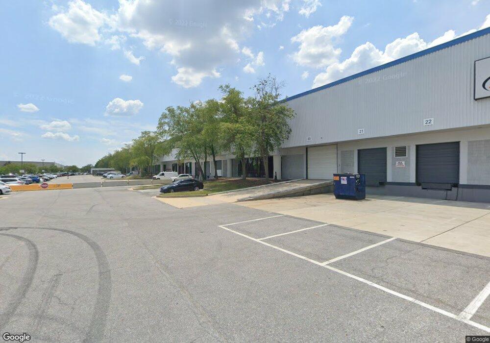
8251 Preston Ct Jessup, MD 20794
Estimated Value: $31,670,320
--
Bed
--
Bath
177,514
Sq Ft
$178/Sq Ft
Est. Value
About This Home
This home is located at 8251 Preston Ct, Jessup, MD 20794 and is currently estimated at $31,670,320, approximately $178 per square foot. 8251 Preston Ct is a home located in Howard County with nearby schools including Hanover Hills Elementary, Thomas Viaduct Middle School, and Bethel Christian Academy.
Ownership History
Date
Name
Owned For
Owner Type
Purchase Details
Closed on
Jan 20, 1998
Sold by
Cp Ip I Dixie Highway Inc
Bought by
Amb Property L P
Current Estimated Value
Purchase Details
Closed on
Feb 5, 1991
Sold by
Preston Lakes Limited Partnership
Bought by
Cp Ip I Dixie Highway Inc
Purchase Details
Closed on
Dec 19, 1986
Sold by
Hock Joseph J Inc
Bought by
Preston Lakes Limited Partnership
Home Financials for this Owner
Home Financials are based on the most recent Mortgage that was taken out on this home.
Original Mortgage
$6,494,800
Interest Rate
9.3%
Create a Home Valuation Report for This Property
The Home Valuation Report is an in-depth analysis detailing your home's value as well as a comparison with similar homes in the area
Home Values in the Area
Average Home Value in this Area
Purchase History
| Date | Buyer | Sale Price | Title Company |
|---|---|---|---|
| Amb Property L P | $9,250,000 | -- | |
| Cp Ip I Dixie Highway Inc | $6,497,000 | -- | |
| Preston Lakes Limited Partnership | $731,000 | -- |
Source: Public Records
Mortgage History
| Date | Status | Borrower | Loan Amount |
|---|---|---|---|
| Previous Owner | Preston Lakes Limited Partnership | $6,494,800 |
Source: Public Records
Tax History Compared to Growth
Tax History
| Year | Tax Paid | Tax Assessment Tax Assessment Total Assessment is a certain percentage of the fair market value that is determined by local assessors to be the total taxable value of land and additions on the property. | Land | Improvement |
|---|---|---|---|---|
| 2025 | $195,932 | $12,898,800 | $1,907,900 | $10,990,900 |
| 2024 | $195,932 | $12,435,367 | $0 | $0 |
| 2023 | $180,660 | $11,971,933 | $0 | $0 |
| 2022 | $173,667 | $11,508,500 | $1,907,900 | $9,600,600 |
| 2021 | $162,791 | $10,787,800 | $0 | $0 |
| 2020 | $151,916 | $10,067,100 | $0 | $0 |
| 2019 | $141,835 | $9,346,400 | $1,907,900 | $7,438,500 |
| 2018 | $122,708 | $8,346,533 | $0 | $0 |
| 2017 | $111,359 | $9,346,400 | $0 | $0 |
| 2016 | -- | $6,346,800 | $0 | $0 |
| 2015 | -- | $6,240,567 | $0 | $0 |
| 2014 | -- | $6,134,333 | $0 | $0 |
Source: Public Records
Map
Nearby Homes
- 8304 Firewood Ct
- 8353 Ashwood Rd Unit 8353
- 8281 Washington Blvd
- 8252 Glen Ct
- 8449 Oak Meade Way
- 2357 Terrapin Crossing
- 2384 Terrapin Crossing
- 8314 Wades Way
- 10075 Guilford Rd
- Lot 7 Cedar Ave
- Lot 6 Cedar Ave
- 7370 Cedar Ave
- 7368 Cedar Ave
- 8861 Mission Rd
- 8230 Wellington Place
- 7911 Burkard Ln
- 8304 Granville Rd
- 8790 Lincoln St
- 8911 Josephs Coat Ct
- 2044 Orchard Ave
- 8309 Sherwick Ct
- 8250 Preston Ct
- 8221 Preston Ct
- 8261 Preston Ct
- 8240 Preston Ct
- 8301 Sherwick Ct
- 8230 Preston Ct
- 8260 Preston Ct
- 8200 Preston Ct
- 8280 Patuxent Range Rd Unit SUITE E-2
- 8280 Patuxent Range Rd Unit C-2
- 8280 Patuxent Range Rd Unit C-1
- 8280 Patuxent Range Rd Unit D
- 8280 Patuxent Range Rd Unit C
- 8280 Patuxent Range Rd Unit B
- 8280 Patuxent Range Rd Unit SUITE A-2
- 8280 Patuxent Range Rd Unit F2-3
- 8280 Patuxent Range Rd Unit SUITE E
- 8280 Patuxent Range Rd Unit SUITE F
- 8280 Patuxent Range Rd Unit SUITE F-1