8251 Route Ee Anderson, MO 64831
Estimated Value: $440,753 - $562,000
Studio
--
Bath
2,539
Sq Ft
$197/Sq Ft
Est. Value
About This Home
This home is located at 8251 Route Ee, Anderson, MO 64831 and is currently estimated at $501,377, approximately $197 per square foot. 8251 Route Ee is a home located in McDonald County with nearby schools including McDonald County High School.
Ownership History
Date
Name
Owned For
Owner Type
Purchase Details
Closed on
Jul 20, 2020
Sold by
Hight Charlotte D
Bought by
Blood Jennifer Sue
Current Estimated Value
Home Financials for this Owner
Home Financials are based on the most recent Mortgage that was taken out on this home.
Original Mortgage
$213,750
Outstanding Balance
$189,116
Interest Rate
3.1%
Mortgage Type
New Conventional
Estimated Equity
$312,261
Purchase Details
Closed on
Jun 20, 2020
Sold by
Hight Charlotte D
Bought by
Blood Jennifer
Home Financials for this Owner
Home Financials are based on the most recent Mortgage that was taken out on this home.
Original Mortgage
$213,750
Outstanding Balance
$189,116
Interest Rate
3.1%
Mortgage Type
New Conventional
Estimated Equity
$312,261
Create a Home Valuation Report for This Property
The Home Valuation Report is an in-depth analysis detailing your home's value as well as a comparison with similar homes in the area
Purchase History
| Date | Buyer | Sale Price | Title Company |
|---|---|---|---|
| Blood Jennifer Sue | -- | Waco Title Co | |
| Blood Jennifer | -- | Waco Title Co |
Source: Public Records
Mortgage History
| Date | Status | Borrower | Loan Amount |
|---|---|---|---|
| Open | Blood Jennifer Sue | $213,750 | |
| Closed | Blood Jennifer | $123,250 |
Source: Public Records
Tax History
| Year | Tax Paid | Tax Assessment Tax Assessment Total Assessment is a certain percentage of the fair market value that is determined by local assessors to be the total taxable value of land and additions on the property. | Land | Improvement |
|---|---|---|---|---|
| 2025 | $1,098 | $30,030 | $0 | $0 |
| 2024 | $1,098 | $27,710 | $0 | $0 |
| 2023 | $1,098 | $27,710 | $0 | $0 |
| 2022 | $1,098 | $27,710 | $0 | $0 |
| 2021 | $1,629 | $41,120 | $0 | $0 |
| 2020 | $951 | $23,900 | $0 | $0 |
| 2019 | $15 | $380 | $0 | $0 |
| 2018 | $16 | $410 | $0 | $0 |
| 2017 | $16 | $410 | $0 | $0 |
| 2016 | $16 | $410 | $0 | $0 |
| 2015 | -- | $410 | $0 | $0 |
| 2014 | -- | $390 | $0 | $0 |
Source: Public Records
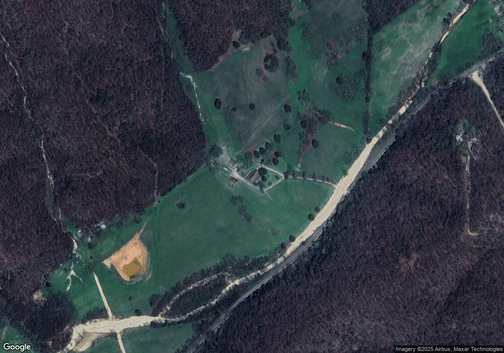
Map
Nearby Homes
- 000 Honey Acres Ln
- 1619 Stone Rd
- 171 Togi Hill Rd
- 000 Elmwood Ln
- Lot 14 Elmwood Ln
- 8ac Farm Road Sw4381
- 1619a Farm Road Sw4381
- 8 Acres Farm Road Sw4381
- 0 Hwy 43
- 20.2 Acres Hobbs Rd
- 20.2 Hobbs Rd
- 886 Hart Cir
- 15962 W State Hwy 90
- Lots 25-27 Forrest Ave
- 1267 Blackfoot Hollow Rd
- 162 Hobbs Rd
- 412 Hilltop Rd
- 145 Coy Rd
- Tract 4 State Highway 90
- Tract 1 State Highway 90
- 8251 Route Ee
- 8251 Route Ee
- 8591 Route Ee
- 8591 Route Ee
- 8591 Route Ee
- 8466 Route Ee
- 7971 Route Ee
- 251 Honey Acres Ln
- 7384 Ee
- 7784 Route Ee
- 560 Honey Acres Ln
- Xxx Honey Acres Ln
- 7634 Route Ee
- Xxx Honey Acres Tract 2
- 7625 Route Ee
- 0 Ee Hwy Unit 1081982
- 0 Ee Hwy Unit 614633
- 0 Ee Hwy Unit 18-1473
- 567 Honey Acres Ln
- 792 Honey Acres Ln
Your Personal Tour Guide
Ask me questions while you tour the home.