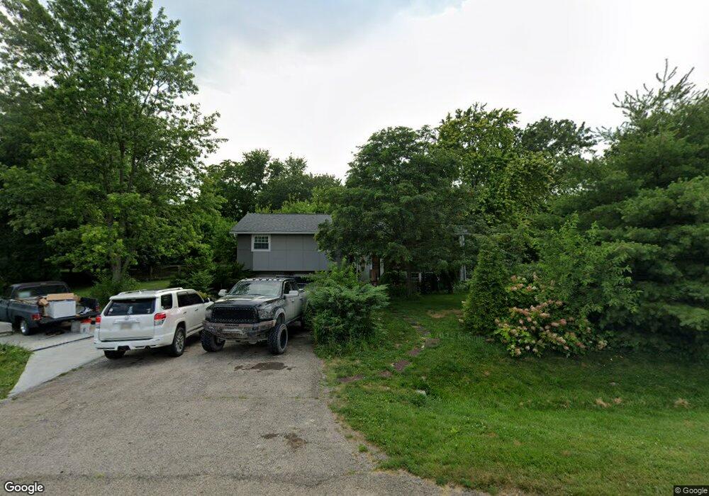
8255 Cox Rd West Chester, OH 45069
West Chester Township NeighborhoodEstimated Value: $278,000 - $353,489
3
Beds
2
Baths
1,822
Sq Ft
$178/Sq Ft
Est. Value
About This Home
This home is located at 8255 Cox Rd, West Chester, OH 45069 and is currently estimated at $324,872, approximately $178 per square foot. 8255 Cox Rd is a home located in Butler County with nearby schools including Hopewell Early Childhood School, Woodland Elementary School, and Hopewell Junior School.
Ownership History
Date
Name
Owned For
Owner Type
Purchase Details
Closed on
May 22, 2018
Sold by
Haros Sandra
Bought by
Haros Jose
Current Estimated Value
Purchase Details
Closed on
Apr 23, 2009
Sold by
Hargis Terry M and Hargis Deborah S
Bought by
Haros Sandra
Home Financials for this Owner
Home Financials are based on the most recent Mortgage that was taken out on this home.
Original Mortgage
$86,800
Outstanding Balance
$54,576
Interest Rate
4.84%
Mortgage Type
Purchase Money Mortgage
Estimated Equity
$270,296
Purchase Details
Closed on
Aug 1, 1985
Create a Home Valuation Report for This Property
The Home Valuation Report is an in-depth analysis detailing your home's value as well as a comparison with similar homes in the area
Home Values in the Area
Average Home Value in this Area
Purchase History
| Date | Buyer | Sale Price | Title Company |
|---|---|---|---|
| Haros Jose | -- | None Available | |
| Haros Sandra | $119,000 | Ltoc | |
| -- | $73,000 | -- |
Source: Public Records
Mortgage History
| Date | Status | Borrower | Loan Amount |
|---|---|---|---|
| Open | Haros Sandra | $86,800 |
Source: Public Records
Tax History Compared to Growth
Tax History
| Year | Tax Paid | Tax Assessment Tax Assessment Total Assessment is a certain percentage of the fair market value that is determined by local assessors to be the total taxable value of land and additions on the property. | Land | Improvement |
|---|---|---|---|---|
| 2024 | $3,921 | $94,260 | $14,210 | $80,050 |
| 2023 | $3,866 | $93,760 | $14,210 | $79,550 |
| 2022 | $3,893 | $69,890 | $14,210 | $55,680 |
| 2021 | $3,550 | $67,240 | $14,210 | $53,030 |
| 2020 | $3,634 | $67,240 | $14,210 | $53,030 |
| 2019 | $2,912 | $52,250 | $14,970 | $37,280 |
| 2018 | $2,964 | $52,250 | $14,970 | $37,280 |
| 2017 | $3,003 | $52,250 | $14,970 | $37,280 |
| 2016 | $2,868 | $46,780 | $14,970 | $31,810 |
| 2015 | $2,860 | $46,780 | $14,970 | $31,810 |
| 2014 | $2,889 | $46,780 | $14,970 | $31,810 |
| 2013 | $2,889 | $45,870 | $16,630 | $29,240 |
Source: Public Records
Map
Nearby Homes
- 8166 Shadybrook Dr
- 7594 Barret Rd
- 8558 Cox Rd
- 7574 Barret Rd
- 8430 Meadowlark Ct
- 7541 Granby Way Unit 89
- 7661 Brookdale Dr
- 8253 Lake Ridge Dr
- 7531 Exchequer Ct
- 7506 Parliament Ct Unit 149
- 8698 Cox Rd
- 8500 Crestmont Dr
- 6729 Maverick Dr
- 7331 Jean Dr
- 8749 Monticello Dr
- 7986 Tylers Way
- 8642 Bluebird Ct
- 921 Leslie Ct
- 947 Olympia Dr
- 7203 Cherrywood Ln