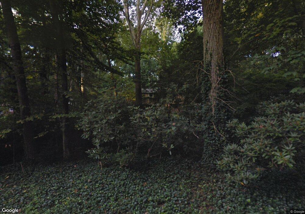
8257 Branch Rd Annandale, VA 22003
Estimated Value: $975,682 - $1,022,000
4
Beds
5
Baths
2,475
Sq Ft
$407/Sq Ft
Est. Value
About This Home
This home is located at 8257 Branch Rd, Annandale, VA 22003 and is currently estimated at $1,007,421, approximately $407 per square foot. 8257 Branch Rd is a home located in Fairfax County with nearby schools including Wakefield Forest Elementary School, Frost Middle School, and W. T. Woodson High School.
Ownership History
Date
Name
Owned For
Owner Type
Purchase Details
Closed on
Feb 2, 2004
Sold by
Haines Melissa T
Bought by
Ford Vincent M
Current Estimated Value
Home Financials for this Owner
Home Financials are based on the most recent Mortgage that was taken out on this home.
Original Mortgage
$504,000
Outstanding Balance
$236,210
Interest Rate
5.82%
Mortgage Type
New Conventional
Estimated Equity
$771,211
Create a Home Valuation Report for This Property
The Home Valuation Report is an in-depth analysis detailing your home's value as well as a comparison with similar homes in the area
Home Values in the Area
Average Home Value in this Area
Purchase History
| Date | Buyer | Sale Price | Title Company |
|---|---|---|---|
| Ford Vincent M | $630,000 | -- |
Source: Public Records
Mortgage History
| Date | Status | Borrower | Loan Amount |
|---|---|---|---|
| Open | Ford Vincent M | $504,000 |
Source: Public Records
Tax History Compared to Growth
Tax History
| Year | Tax Paid | Tax Assessment Tax Assessment Total Assessment is a certain percentage of the fair market value that is determined by local assessors to be the total taxable value of land and additions on the property. | Land | Improvement |
|---|---|---|---|---|
| 2025 | $9,287 | $859,560 | $433,000 | $426,560 |
| 2024 | $9,287 | $801,650 | $403,000 | $398,650 |
| 2023 | $9,047 | $801,650 | $403,000 | $398,650 |
| 2022 | $8,824 | $771,650 | $373,000 | $398,650 |
| 2021 | $8,442 | $719,400 | $358,000 | $361,400 |
| 2020 | $7,879 | $665,760 | $328,000 | $337,760 |
| 2019 | $7,643 | $645,760 | $308,000 | $337,760 |
| 2018 | $7,323 | $636,760 | $299,000 | $337,760 |
| 2017 | $7,161 | $616,760 | $279,000 | $337,760 |
| 2016 | $7,145 | $616,760 | $279,000 | $337,760 |
| 2015 | $6,883 | $616,760 | $279,000 | $337,760 |
| 2014 | $5,900 | $529,830 | $268,000 | $261,830 |
Source: Public Records
Map
Nearby Homes
- 4208 Duncan Dr
- 4101 High Point Ct
- 4217 N Valiant Ct
- 8312 Upper Spring Ln
- 8310 Upper Spring Ln
- 8317 Little River Turnpike
- 8112 Briar Creek Dr
- 4410 Woodchuck Ct
- 3819 Whitman Rd
- 8502 Woodbine Ln
- 4304 Wakefield Chapel Rd
- 4603 Holborn Ave
- 8221 Captain Hawkins Ct
- 4367 Americana Dr Unit 104
- 4408 Island Place Unit 202
- 7905 Dassett Ct Unit 304
- 4005 Kloman St
- 7804 Inverton Rd Unit 201
- 7930 Peyton Forest Trail
- 7809 Dassett Ct Unit 101
- 8253 Branch Rd
- 4205 Duncan Dr
- 4201 Duncan Dr
- 8249 Branch Rd
- 8256 The Midway
- 8256 Branch Rd
- 8252 Branch Rd
- 4211 Duncan Dr
- 8252 The Midway
- 8250 Branch Rd
- 8260 Branch Rd
- 8264 Branch Rd
- 8248 The Midway
- 8246 Branch Rd
- 8245 Branch Rd
- 4204 Duncan Dr
- 4200 Duncan Dr
- 8268 Branch Rd
- 8246 The Midway
- 4212 Duncan Dr
