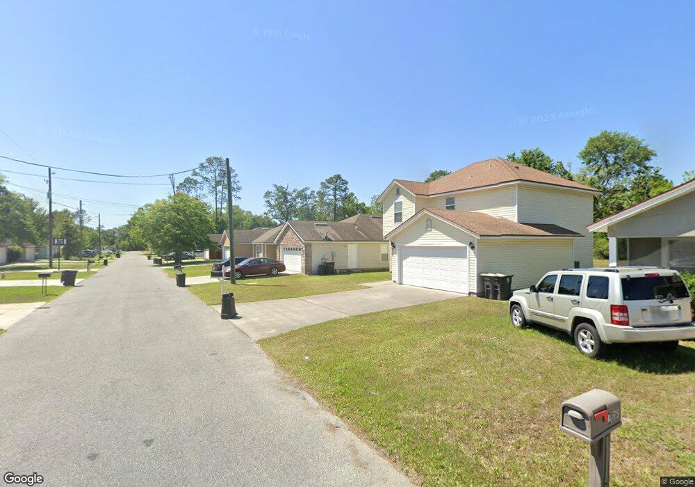
8257 Maple St Jacksonville, FL 32244
Jacksonville Heights NeighborhoodEstimated Value: $220,000 - $253,000
3
Beds
2
Baths
1,400
Sq Ft
$170/Sq Ft
Est. Value
About This Home
This home is located at 8257 Maple St, Jacksonville, FL 32244 and is currently estimated at $237,560, approximately $169 per square foot. 8257 Maple St is a home located in Duval County with nearby schools including Jacksonville Heights Elementary School, Westside Middle School, and Westside High School.
Ownership History
Date
Name
Owned For
Owner Type
Purchase Details
Closed on
Jan 27, 2010
Sold by
Aggressive Lending Inc
Bought by
Camelot Enterprises Llc
Current Estimated Value
Home Financials for this Owner
Home Financials are based on the most recent Mortgage that was taken out on this home.
Original Mortgage
$2,824,320
Interest Rate
4.82%
Mortgage Type
Future Advance Clause Open End Mortgage
Purchase Details
Closed on
Nov 16, 2007
Sold by
Provencal Allen
Bought by
Aggressive Holdings Inc
Create a Home Valuation Report for This Property
The Home Valuation Report is an in-depth analysis detailing your home's value as well as a comparison with similar homes in the area
Home Values in the Area
Average Home Value in this Area
Purchase History
| Date | Buyer | Sale Price | Title Company |
|---|---|---|---|
| Camelot Enterprises Llc | -- | Attorney | |
| Aggressive Holdings Inc | $126,000 | None Available |
Source: Public Records
Mortgage History
| Date | Status | Borrower | Loan Amount |
|---|---|---|---|
| Previous Owner | Camelot Enterprises Llc | $2,824,320 |
Source: Public Records
Tax History
| Year | Tax Paid | Tax Assessment Tax Assessment Total Assessment is a certain percentage of the fair market value that is determined by local assessors to be the total taxable value of land and additions on the property. | Land | Improvement |
|---|---|---|---|---|
| 2026 | $4,223 | $214,824 | $40,012 | $174,812 |
| 2025 | $3,915 | $206,699 | $30,312 | $176,387 |
| 2024 | $3,762 | $207,312 | $30,312 | $177,000 |
| 2023 | $3,762 | $208,414 | $30,312 | $178,102 |
| 2022 | $3,181 | $174,345 | $26,675 | $147,670 |
| 2021 | $2,624 | $137,860 | $18,188 | $119,672 |
| 2020 | $2,568 | $133,803 | $18,188 | $115,615 |
| 2019 | $2,516 | $129,000 | $13,338 | $115,662 |
| 2018 | $2,211 | $119,581 | $12,125 | $107,456 |
| 2017 | $2,024 | $104,342 | $9,700 | $94,642 |
| 2016 | $1,988 | $109,173 | $0 | $0 |
| 2015 | $1,880 | $102,290 | $0 | $0 |
| 2014 | $2,014 | $94,391 | $0 | $0 |
Source: Public Records
Map
Nearby Homes
- 8157 Galaxie Dr
- 5801 Le Sabre Rd
- 8219 Newport Rd
- 8352 Hewitt St
- 5525 Valdura Ave
- 5717 Kinkaid Rd
- 8377 Homeport Ct
- 8342 Barracuda Rd
- 8044 Renault Dr N
- 8432 Hewitt St
- 8336 Hewitt St
- 8417 Barracuda Rd
- 5978 Fury Dr
- 5932 Jaguar Dr W
- 0 Cheryl Ann Ln Unit 2057445
- 6035 Caprice Dr
- 7959 Lancia St N
- 6051 Foxfire Ct
- 8515 Maple St
- 8436 McGirts Village Ln Unit 9f
Your Personal Tour Guide
Ask me questions while you tour the home.