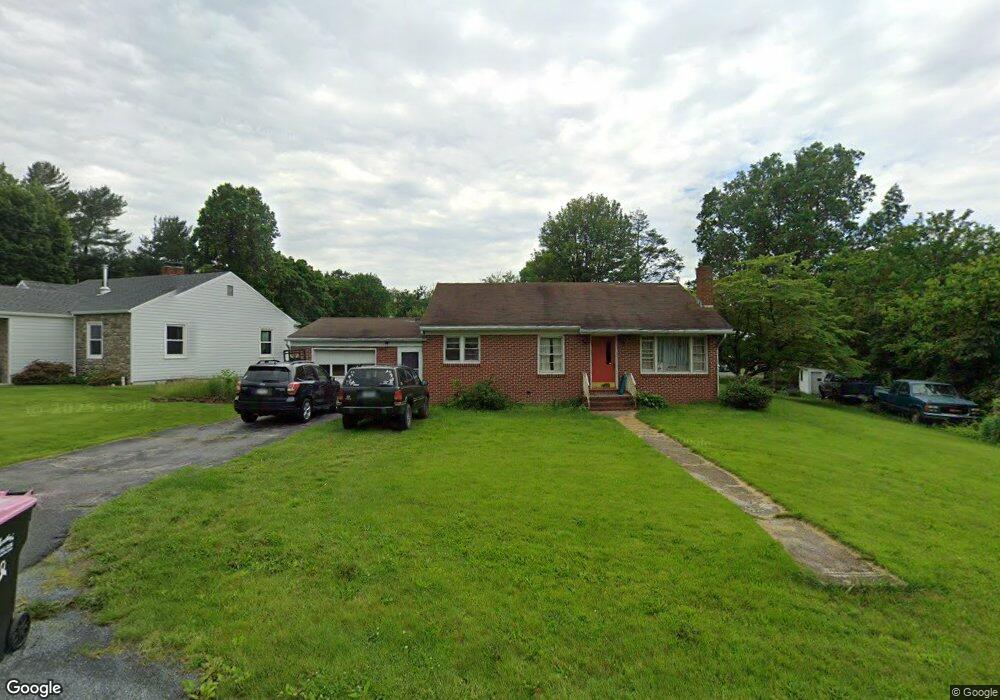
8257 Tomstown Rd Waynesboro, PA 17268
Estimated Value: $121,368 - $232,000
2
Beds
1
Bath
1,224
Sq Ft
$166/Sq Ft
Est. Value
About This Home
This home is located at 8257 Tomstown Rd, Waynesboro, PA 17268 and is currently estimated at $203,342, approximately $166 per square foot. 8257 Tomstown Rd is a home located in Franklin County with nearby schools including Waynesboro Area Senior High School and Providence School - Pigeon Hill Building.
Ownership History
Date
Name
Owned For
Owner Type
Purchase Details
Closed on
Jun 6, 2011
Sold by
Singer Paul T
Bought by
Bowling James E
Current Estimated Value
Home Financials for this Owner
Home Financials are based on the most recent Mortgage that was taken out on this home.
Original Mortgage
$84,000
Outstanding Balance
$58,206
Interest Rate
4.74%
Mortgage Type
Future Advance Clause Open End Mortgage
Estimated Equity
$145,136
Create a Home Valuation Report for This Property
The Home Valuation Report is an in-depth analysis detailing your home's value as well as a comparison with similar homes in the area
Home Values in the Area
Average Home Value in this Area
Purchase History
| Date | Buyer | Sale Price | Title Company |
|---|---|---|---|
| Bowling James E | $65,000 | None Available |
Source: Public Records
Mortgage History
| Date | Status | Borrower | Loan Amount |
|---|---|---|---|
| Open | Bowling James E | $84,000 |
Source: Public Records
Tax History Compared to Growth
Tax History
| Year | Tax Paid | Tax Assessment Tax Assessment Total Assessment is a certain percentage of the fair market value that is determined by local assessors to be the total taxable value of land and additions on the property. | Land | Improvement |
|---|---|---|---|---|
| 2025 | $2,634 | $18,050 | $550 | $17,500 |
| 2024 | $2,552 | $18,050 | $550 | $17,500 |
| 2023 | $2,482 | $18,050 | $550 | $17,500 |
| 2022 | $2,410 | $18,050 | $550 | $17,500 |
| 2021 | $2,338 | $18,050 | $550 | $17,500 |
| 2020 | $2,338 | $18,050 | $550 | $17,500 |
| 2019 | $35 | $18,050 | $550 | $17,500 |
| 2018 | $2,207 | $18,050 | $550 | $17,500 |
| 2017 | $2,157 | $18,050 | $550 | $17,500 |
| 2016 | $517 | $18,050 | $550 | $17,500 |
| 2015 | $482 | $18,050 | $550 | $17,500 |
| 2014 | $482 | $18,050 | $550 | $17,500 |
Source: Public Records
Map
Nearby Homes
- 7468 Anthony Hwy
- 8620 Monns Gap Rd
- 8652 Mormon Church Rd
- 5434 Manheim Rd
- 6159 Orphanage Rd
- 207 University Dr
- 111 Poplar St
- 286 Verdier St
- 6 S Main St
- 8655 Wayne Hwy
- 7130 St Annes Dr
- 7059 Duck Hook Ln
- 0 Unit PAFL2024598
- 7060 Duck Hook Ln
- 0 Unit PAFL2024596
- 0 Unit PAFL2024594
- 0 Unit PAFL2024618
- 0 Unit PAFL2024616
- 0 Unit PAFL2024592
- 7136 Sandwich Ln
- 8265 Tomstown Rd
- 8241 Tomstown Rd
- 7102 Back Ln
- 8275 Tomstown Rd
- 8238 Tomstown Rd
- 8273 Tomstown Rd
- 7110 Back Ln
- 8195 Tomstown Rd
- 7073 Back Ln
- 8303 Tomstown Rd
- 8190 Tomstown Rd
- 8315 Tomstown Rd
- 8315 Tomstown Rd
- 8353 Tomstown Rd
- 8175 Tomstown Rd
- 8268 Tomstown Rd
- 8300 Tomstown Rd
- 8391 Tomstown Rd
- 8174 Tomstown Rd
- 8467 Tomstown Rd