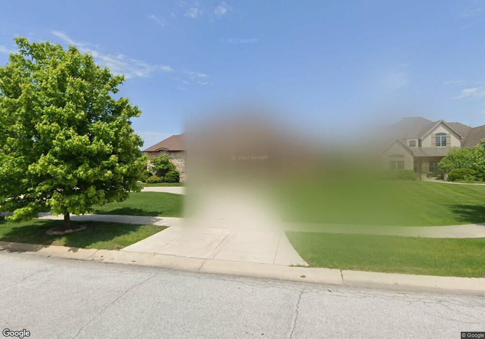
826 Kendall Ct Crown Point, IN 46307
Estimated Value: $713,000 - $849,000
4
Beds
4
Baths
4,347
Sq Ft
$178/Sq Ft
Est. Value
About This Home
This home is located at 826 Kendall Ct, Crown Point, IN 46307 and is currently estimated at $775,838, approximately $178 per square foot. 826 Kendall Ct is a home located in Lake County with nearby schools including Timothy Ball Elementary School, Robert Taft Middle School, and Crown Point High School.
Ownership History
Date
Name
Owned For
Owner Type
Purchase Details
Closed on
Jun 30, 2005
Sold by
Davis Realty & Investment Ltd
Bought by
Real Estate Innovations Llc
Current Estimated Value
Create a Home Valuation Report for This Property
The Home Valuation Report is an in-depth analysis detailing your home's value as well as a comparison with similar homes in the area
Home Values in the Area
Average Home Value in this Area
Purchase History
| Date | Buyer | Sale Price | Title Company |
|---|---|---|---|
| Real Estate Innovations Llc | -- | Chicago Title Insurance Co |
Source: Public Records
Tax History Compared to Growth
Tax History
| Year | Tax Paid | Tax Assessment Tax Assessment Total Assessment is a certain percentage of the fair market value that is determined by local assessors to be the total taxable value of land and additions on the property. | Land | Improvement |
|---|---|---|---|---|
| 2024 | $16,504 | $633,700 | $120,000 | $513,700 |
| 2023 | $6,689 | $600,500 | $120,000 | $480,500 |
| 2022 | $6,492 | $577,200 | $120,000 | $457,200 |
| 2021 | $6,937 | $616,300 | $102,000 | $514,300 |
| 2020 | $6,666 | $592,500 | $102,000 | $490,500 |
| 2019 | $6,729 | $594,100 | $102,000 | $492,100 |
| 2018 | $8,831 | $582,900 | $102,000 | $480,900 |
| 2017 | $8,064 | $536,100 | $102,000 | $434,100 |
| 2016 | $8,358 | $549,100 | $102,000 | $447,100 |
| 2014 | $8,085 | $550,200 | $102,000 | $448,200 |
| 2013 | $8,094 | $544,800 | $102,000 | $442,800 |
Source: Public Records
Map
Nearby Homes
- 3604 W 104th Place
- 3725 W 105th Ave
- 771 Kenmare Pkwy
- 767 Kenmare Pkwy
- 515 Holley Dr
- 221 Cedar St
- 700 Meadow Ln
- 7830 W 106th Ln
- 7770 W 106th Ln
- 222 Maple St
- 340 Cochran Dr
- 621 Pratt St
- 206 Birch St
- 1206 Sycamore St
- 1667 Chalone Ct
- 312 Summit Park Ct S
- 841 Veterans Ln
- 808 N West St
- 10813 Lane St
- 511 N West St
- 834 Kendall Ct
- 818 Kendall Ct
- 842 Kendall Ct
- 810 Kendall Ct
- 827 Kendall Ct
- 11180 Oak Ridge Ct
- 11160 Oak Ridge Ct
- 11173 Oak Ridge Ct
- 11197 Oak Ridge Ct
- 11241 Oak Ridge Ct
- 11220 Oak Ridge Ct
- 11200 Oak Ridge Ct
- 11197 Oakridge Ct
- 1262 Mondavi Ct
- 850 Kendall Ct
- 819 Kendall Ct
- 802 Kendall Ct
- 811 Kendall Ct
- 1254 Mondavi Ct
- 1246 Mondavi Ct