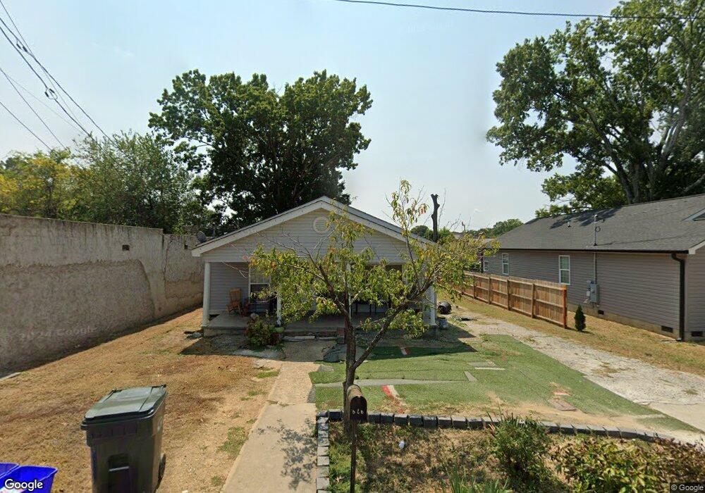
826 Mcafee St Dalton, GA 30721
Estimated Value: $118,000 - $220,000
3
Beds
1
Bath
1,080
Sq Ft
$147/Sq Ft
Est. Value
About This Home
This home is located at 826 Mcafee St, Dalton, GA 30721 and is currently estimated at $159,121, approximately $147 per square foot. 826 Mcafee St is a home located in Whitfield County with nearby schools including Blue Ridge Elementary School, Dalton High School, and Christian Heritage School.
Ownership History
Date
Name
Owned For
Owner Type
Purchase Details
Closed on
Apr 13, 2004
Sold by
Popular Financial Services Inc
Bought by
Davis John E
Current Estimated Value
Purchase Details
Closed on
Jan 6, 2004
Sold by
Starks Robert and Starks Jackie
Bought by
Popular Financial Services Inc
Purchase Details
Closed on
Feb 5, 2001
Sold by
Bonds Sheila
Bought by
Starks Robert and Starks Jackie
Purchase Details
Closed on
Jan 19, 2000
Sold by
Bonds Gregory M
Bought by
Bonds Gregory M and Bonds Sheila
Purchase Details
Closed on
Feb 1, 1994
Bought by
Bonds Gregory M
Create a Home Valuation Report for This Property
The Home Valuation Report is an in-depth analysis detailing your home's value as well as a comparison with similar homes in the area
Purchase History
| Date | Buyer | Sale Price | Title Company |
|---|---|---|---|
| Davis John E | $39,900 | -- | |
| Popular Financial Services Inc | $55,300 | -- | |
| Starks Robert | -- | -- | |
| Bonds Gregory M | -- | -- | |
| Bonds Gregory M | -- | -- |
Source: Public Records
Tax History
| Year | Tax Paid | Tax Assessment Tax Assessment Total Assessment is a certain percentage of the fair market value that is determined by local assessors to be the total taxable value of land and additions on the property. | Land | Improvement |
|---|---|---|---|---|
| 2025 | $1,749 | $54,806 | $8,400 | $46,406 |
| 2024 | $1,749 | $54,806 | $8,400 | $46,406 |
| 2023 | $692 | $18,689 | $5,400 | $13,289 |
| 2022 | $647 | $18,797 | $5,400 | $13,397 |
| 2021 | $648 | $18,797 | $5,400 | $13,397 |
| 2020 | $674 | $18,797 | $5,400 | $13,397 |
| 2019 | $694 | $18,797 | $5,400 | $13,397 |
| 2018 | $705 | $18,797 | $5,400 | $13,397 |
| 2017 | $810 | $18,797 | $5,400 | $13,397 |
| 2016 | $655 | $18,028 | $2,520 | $15,508 |
| 2014 | $640 | $19,377 | $2,520 | $16,857 |
| 2013 | -- | $19,376 | $2,520 | $16,856 |
Source: Public Records
Map
Nearby Homes
- 204 N Bogle St
- 825 Martin Luther King jr Blvd
- 301B Fields Ave
- 303 Janice St
- 519 Abigail St
- 1118 Dozier St
- 533 Underwood St
- 230 Henderson St
- 432 4th Ave
- 601 Juniper Ave
- 1133 Orman St
- 404 Paige St
- 626 Fifth Ave
- 1114 Underwood St
- 1104 May St
- 306 Robinwood Dr
- 429 S Glenwood Ave
- 311 Shady Ln
- 916 Avenue E
- 812 Park Creek Way
Your Personal Tour Guide
Ask me questions while you tour the home.