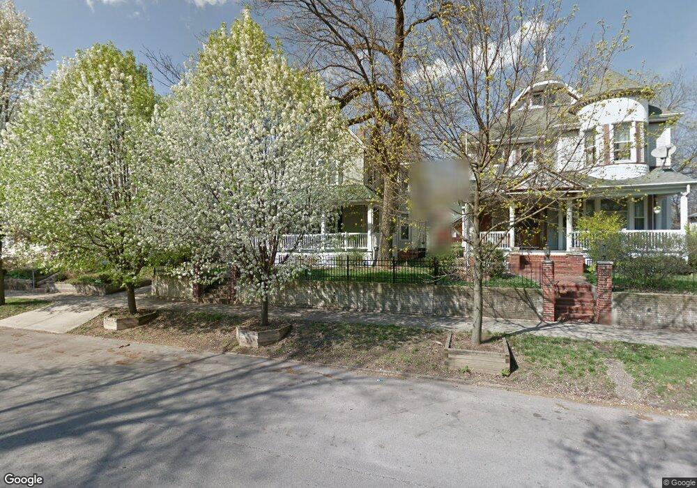
826 W Wood St Decatur, IL 62522
Near West NeighborhoodEstimated Value: $119,000 - $157,874
5
Beds
3
Baths
4,661
Sq Ft
$30/Sq Ft
Est. Value
About This Home
This home is located at 826 W Wood St, Decatur, IL 62522 and is currently estimated at $138,969, approximately $29 per square foot. 826 W Wood St is a home located in Macon County with nearby schools including Dennis Lab School, St. Patrick School, and Teen Challenge-Home For Girls.
Ownership History
Date
Name
Owned For
Owner Type
Purchase Details
Closed on
Nov 17, 2006
Sold by
Farnk Christine E and Miller Kimberly A
Bought by
Cross Damon and Cross Angelia
Current Estimated Value
Purchase Details
Closed on
Dec 30, 2005
Sold by
Birch Leora L
Bought by
Smith Peter J and Smith Patricia L
Home Financials for this Owner
Home Financials are based on the most recent Mortgage that was taken out on this home.
Original Mortgage
$100,000
Interest Rate
6.12%
Mortgage Type
Purchase Money Mortgage
Purchase Details
Closed on
Oct 1, 2001
Create a Home Valuation Report for This Property
The Home Valuation Report is an in-depth analysis detailing your home's value as well as a comparison with similar homes in the area
Home Values in the Area
Average Home Value in this Area
Purchase History
| Date | Buyer | Sale Price | Title Company |
|---|---|---|---|
| Cross Damon | -- | None Available | |
| Cross Damon | $120,000 | None Available | |
| Smith Peter J | $120,000 | None Available | |
| -- | $13,000 | -- |
Source: Public Records
Mortgage History
| Date | Status | Borrower | Loan Amount |
|---|---|---|---|
| Previous Owner | Smith Peter J | $100,000 |
Source: Public Records
Tax History Compared to Growth
Tax History
| Year | Tax Paid | Tax Assessment Tax Assessment Total Assessment is a certain percentage of the fair market value that is determined by local assessors to be the total taxable value of land and additions on the property. | Land | Improvement |
|---|---|---|---|---|
| 2024 | $4,092 | $48,265 | $2,080 | $46,185 |
| 2023 | $4,036 | $46,556 | $2,006 | $44,550 |
| 2022 | $3,569 | $40,896 | $1,762 | $39,134 |
| 2021 | $3,312 | $38,192 | $1,645 | $36,547 |
| 2020 | $3,235 | $36,418 | $1,568 | $34,850 |
| 2019 | $3,235 | $36,418 | $1,568 | $34,850 |
| 2018 | $3,209 | $36,538 | $1,573 | $34,965 |
| 2017 | $3,301 | $37,513 | $1,615 | $35,898 |
| 2016 | $3,370 | $37,895 | $1,631 | $36,264 |
| 2015 | $3,192 | $37,225 | $1,602 | $35,623 |
| 2014 | $2,958 | $36,856 | $1,586 | $35,270 |
| 2013 | $3,078 | $38,241 | $1,646 | $36,595 |
Source: Public Records
Map
Nearby Homes
- 657 W Wood St
- 899 W Main St
- 612 W Macon St
- 717 W Prairie Ave Unit 2
- 441 S Seigel St
- 617 W Decatur St
- 1005 W Main St
- 254 N Pine St
- 628 W Forest Ave
- 450 W Macon St
- 609 W William St
- 440 W Macon St
- 437 Powers Ln
- 958 W William St
- 452 W Prairie Ave
- 442 W Prairie Ave
- 650 S Crea St
- 233 N Edward St
- 366 W Prairie Ave
- 320 W Main St