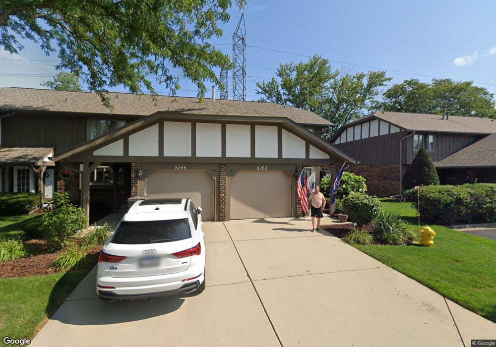
8262 Stonehenge Dr Orland Park, IL 60462
Silver Lake North NeighborhoodEstimated Value: $325,000 - $335,311
3
Beds
3
Baths
1,802
Sq Ft
$183/Sq Ft
Est. Value
About This Home
This home is located at 8262 Stonehenge Dr, Orland Park, IL 60462 and is currently estimated at $330,328, approximately $183 per square foot. 8262 Stonehenge Dr is a home located in Cook County with nearby schools including Prairie Elementary School, Liberty Elementary School, and Jerling Junior High School.
Ownership History
Date
Name
Owned For
Owner Type
Purchase Details
Closed on
May 13, 2004
Sold by
Mccarthy Michael P
Bought by
Mccarthy Michael P and Mccarthy Charles A
Current Estimated Value
Home Financials for this Owner
Home Financials are based on the most recent Mortgage that was taken out on this home.
Original Mortgage
$116,500
Interest Rate
5.85%
Mortgage Type
New Conventional
Create a Home Valuation Report for This Property
The Home Valuation Report is an in-depth analysis detailing your home's value as well as a comparison with similar homes in the area
Home Values in the Area
Average Home Value in this Area
Purchase History
| Date | Buyer | Sale Price | Title Company |
|---|---|---|---|
| Mccarthy Michael P | -- | Residential Title Services |
Source: Public Records
Mortgage History
| Date | Status | Borrower | Loan Amount |
|---|---|---|---|
| Closed | Mccarthy Michael P | $116,500 |
Source: Public Records
Tax History Compared to Growth
Tax History
| Year | Tax Paid | Tax Assessment Tax Assessment Total Assessment is a certain percentage of the fair market value that is determined by local assessors to be the total taxable value of land and additions on the property. | Land | Improvement |
|---|---|---|---|---|
| 2024 | $5,927 | $27,000 | $1,380 | $25,620 |
| 2023 | $4,326 | $27,000 | $1,380 | $25,620 |
| 2022 | $4,326 | $17,863 | $1,196 | $16,667 |
| 2021 | $4,204 | $17,863 | $1,196 | $16,667 |
| 2020 | $4,110 | $17,863 | $1,196 | $16,667 |
| 2019 | $4,343 | $19,250 | $1,104 | $18,146 |
| 2018 | $5,638 | $21,120 | $1,104 | $20,016 |
| 2017 | $5,511 | $21,120 | $1,104 | $20,016 |
| 2016 | $5,169 | $18,525 | $1,012 | $17,513 |
| 2015 | $5,119 | $18,525 | $1,012 | $17,513 |
| 2014 | $5,044 | $18,525 | $1,012 | $17,513 |
| 2013 | $4,042 | $20,276 | $1,012 | $19,264 |
Source: Public Records
Map
Nearby Homes
- 14023 Chelsea Dr
- 8115 Pluskota Dr
- 8134 Uxbridge Dr
- 13623 S 84th Ave
- 8005 Trafalgar Ct
- 14255 Wedgewood Glens Dr
- 14040 Boxwood Ln
- 8005 W 143rd Place
- 13550 86th Ave
- 8700 Berkley Ct
- Richmond Plan at Misty Meadow
- Dartmore Plan at Misty Meadow
- Compton Plan at Misty Meadow
- Beaumont Plan at Misty Meadow
- Barrington Plan at Misty Meadow
- 8820 W 140th St Unit 2A
- 14345 S 87th Ave
- 8608 W 145th St
- 13458 S Westview Dr Unit V4
- 14567 S 82nd Ave
- 8266 Stonehenge Dr
- 8270 Stonehenge Dr
- 8254 Stonehenge Dr
- 8274 Stonehenge Dr
- 8250 Stonehenge Dr
- 8278 Stonehenge Dr
- 8261 Stonehenge Dr
- 8257 Stonehenge Dr
- 8246 Stonehenge Dr
- 8265 Stonehenge Dr
- 8282 Stonehenge Dr
- 8269 Stonehenge Dr
- 8269 Stonehenge Dr Unit 8269
- 13972 Stonehenge Dr
- 8242 Stonehenge Dr
- 13953 Stonehenge Dr
- 13953 Stonehenge Dr Unit 4
- 8238 Stonehenge Dr