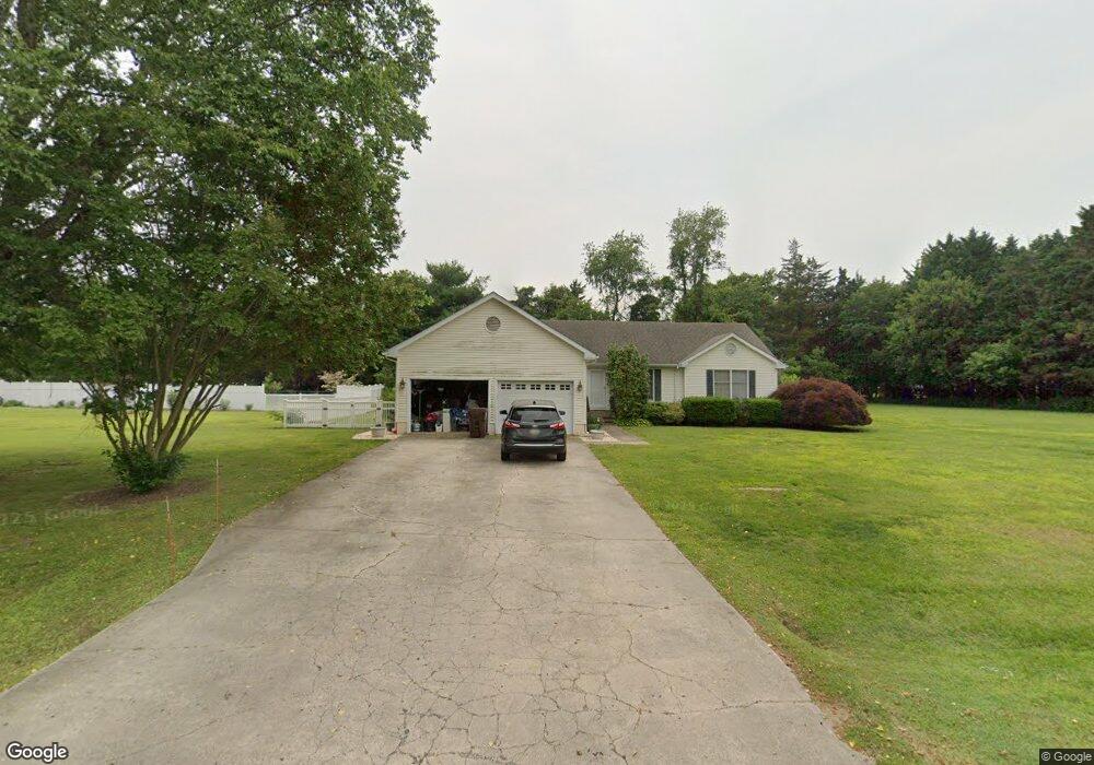
8266 Laurel Ln Denton, MD 21629
Estimated Value: $364,000 - $463,000
Studio
2
Baths
1,812
Sq Ft
$229/Sq Ft
Est. Value
About This Home
This home is located at 8266 Laurel Ln, Denton, MD 21629 and is currently estimated at $414,966, approximately $229 per square foot. 8266 Laurel Ln is a home located in Caroline County with nearby schools including Ridgely Elementary School, Lockerman Middle School, and North Caroline High School.
Ownership History
Date
Name
Owned For
Owner Type
Purchase Details
Closed on
Dec 1, 2000
Sold by
Sanford Kenneth C and Sanford Kim T
Bought by
Weber Richard M and Weber Donna
Current Estimated Value
Purchase Details
Closed on
Jan 16, 1997
Sold by
Gouldthread Roger L
Bought by
Sanford Kenneth C and Sanford Kim T
Purchase Details
Closed on
Feb 21, 1990
Sold by
Executive Support Services Inc
Bought by
Gouldthread Roger L
Home Financials for this Owner
Home Financials are based on the most recent Mortgage that was taken out on this home.
Original Mortgage
$79,000
Interest Rate
10.1%
Create a Home Valuation Report for This Property
The Home Valuation Report is an in-depth analysis detailing your home's value as well as a comparison with similar homes in the area
Home Values in the Area
Average Home Value in this Area
Purchase History
| Date | Buyer | Sale Price | Title Company |
|---|---|---|---|
| Weber Richard M | $140,000 | -- | |
| Sanford Kenneth C | $123,000 | -- | |
| Gouldthread Roger L | $101,900 | -- |
Source: Public Records
Mortgage History
| Date | Status | Borrower | Loan Amount |
|---|---|---|---|
| Previous Owner | Gouldthread Roger L | $79,000 | |
| Closed | Sanford Kenneth C | -- |
Source: Public Records
Tax History
| Year | Tax Paid | Tax Assessment Tax Assessment Total Assessment is a certain percentage of the fair market value that is determined by local assessors to be the total taxable value of land and additions on the property. | Land | Improvement |
|---|---|---|---|---|
| 2025 | $3,343 | $362,200 | $67,000 | $295,200 |
| 2024 | $3,170 | $326,733 | $0 | $0 |
| 2023 | $2,947 | $291,267 | $0 | $0 |
| 2022 | $2,853 | $255,800 | $67,000 | $188,800 |
| 2021 | $2,679 | $247,833 | $0 | $0 |
| 2020 | $2,679 | $239,867 | $0 | $0 |
| 2019 | $2,592 | $231,900 | $60,000 | $171,900 |
| 2018 | $2,592 | $231,900 | $60,000 | $171,900 |
| 2017 | $2,592 | $231,900 | $0 | $0 |
| 2016 | -- | $234,100 | $0 | $0 |
| 2015 | $2,243 | $234,100 | $0 | $0 |
| 2014 | $2,243 | $234,100 | $0 | $0 |
Source: Public Records
Map
Nearby Homes
- 23296 Wilder Way
- 0 Laurel Ln
- 8578 Tuckahoe Rd
- 33293 Matthewstown Rd
- 23116 Gilpin Point Rd
- 24383 Robins Creek Rd
- 24276 Asbury Dr
- 24324 Asbury Dr
- 0 Quail Ct Unit MDCM2006644
- 0 Quail Ct Unit MDCM2006742
- 24749 Woods Dr
- LOT #6 High Banks Dr
- 0 High Banks Dr
- 24800 Pealiquor Rd
- 31570 Miller Rd
- 10640 Kittys Corner Rd
- 7904 Clark Rd
- 1111 Trice Meadows Cir
- 1302 Trice Meadows Cir
- 311 Kerr Ave
Your Personal Tour Guide
Ask me questions while you tour the home.