Estimated Value: $297,000 - $408,000
--
Bed
2
Baths
4,778
Sq Ft
$71/Sq Ft
Est. Value
About This Home
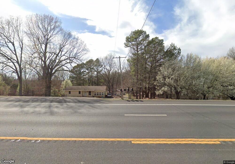
This home is located at 8269 Highway 63 N, Bono, AR 72416 and is currently estimated at $338,727, approximately $70 per square foot. 8269 Highway 63 N is a home located in Craighead County with nearby schools including Westside Elementary School, Westside Middle School, and Westside High School.
Ownership History
Date
Name
Owned For
Owner Type
Purchase Details
Closed on
Jan 11, 2018
Sold by
Hall Judy Delores and Hall William Floyd
Bought by
Rowell Tim and Rowell Selina
Current Estimated Value
Purchase Details
Closed on
Jul 10, 2015
Sold by
Bradley Linda K and Cloinger Rhonnda
Bought by
Davis Laura and Davis Drew
Home Financials for this Owner
Home Financials are based on the most recent Mortgage that was taken out on this home.
Original Mortgage
$140,000
Interest Rate
3.91%
Mortgage Type
New Conventional
Purchase Details
Closed on
Nov 13, 2014
Sold by
Belanger Sherry G and Belanger Dick
Bought by
Davis Drew
Purchase Details
Closed on
Apr 5, 1995
Bought by
Rowell
Create a Home Valuation Report for This Property
The Home Valuation Report is an in-depth analysis detailing your home's value as well as a comparison with similar homes in the area
Home Values in the Area
Average Home Value in this Area
Purchase History
| Date | Buyer | Sale Price | Title Company |
|---|---|---|---|
| Rowell Tim | -- | -- | |
| Davis Laura | $46,000 | -- | |
| Worlow Tyler | $175,000 | -- | |
| Cloinger Loy | -- | -- | |
| Davis Drew | $135,000 | Lenders Title Company | |
| Rowell | -- | -- |
Source: Public Records
Mortgage History
| Date | Status | Borrower | Loan Amount |
|---|---|---|---|
| Previous Owner | Worlow Tyler | $140,000 |
Source: Public Records
Tax History Compared to Growth
Tax History
| Year | Tax Paid | Tax Assessment Tax Assessment Total Assessment is a certain percentage of the fair market value that is determined by local assessors to be the total taxable value of land and additions on the property. | Land | Improvement |
|---|---|---|---|---|
| 2025 | $2,014 | $61,262 | $12,010 | $49,252 |
| 2024 | $2,014 | $40,494 | $6,264 | $34,230 |
| 2023 | $1,180 | $40,494 | $6,264 | $34,230 |
| 2022 | $1,160 | $40,494 | $6,264 | $34,230 |
| 2021 | $1,122 | $32,670 | $4,060 | $28,610 |
| 2020 | $1,122 | $32,670 | $4,060 | $28,610 |
| 2019 | $1,122 | $32,670 | $4,060 | $28,610 |
| 2018 | $1,103 | $32,670 | $4,060 | $28,610 |
| 2017 | $996 | $34,010 | $5,400 | $28,610 |
| 2016 | $919 | $24,060 | $4,450 | $19,610 |
| 2015 | $727 | $24,060 | $4,450 | $19,610 |
| 2014 | $727 | $24,060 | $4,450 | $19,610 |
Source: Public Records
Map
Nearby Homes
- 581 County Road 130
- 241 County Road 130
- 97 County Road 130
- 14 County Road 346
- 393 County Road 371
- 9586 Highway 63 N
- 215 Shady Ln
- 230 U S 63
- 279 County Road 342
- 1 County Road 342
- 1 County Road 348
- 305 Hollis St
- 303 Hollis St
- 302 Hollis St
- 945 County Road 111
- 727 Cr 311
- 219 Maurita St
- 417 Gia St
- 203 Hollis St
- 320 Stella Dr
- 8363 Highway 63 N
- 471 County Road 130
- 8273 Highway 63 N
- 485 County Road 130
- 8379 Highway 63 N
- 8379 Highway 63 N
- 450 County Road 130
- 547 County Road 130
- 429 County Road 130
- 8175 Highway 63 N
- 8179 Highway 63 N
- 581 County Road 130 Unit 581 County Road 130
- 581 County Road 130 Unit 581 County Rod 130
- 605 County Road 130
- 361 County Road 130
- 8294 Highway 63 N
- 8332 Highway 63 N
- 444 County Road 130
- 480 County Road 130
- 1.63 acres Hwy 63n