8269 Rutledge Rd Walhonding, OH 43843
Estimated Value: $298,000 - $1,773,637
3
Beds
2
Baths
1,960
Sq Ft
$611/Sq Ft
Est. Value
About This Home
This home is located at 8269 Rutledge Rd, Walhonding, OH 43843 and is currently estimated at $1,197,212, approximately $610 per square foot. 8269 Rutledge Rd is a home located in Knox County with nearby schools including East Knox Elementary School, East Knox High School, and Mohawk School.
Ownership History
Date
Name
Owned For
Owner Type
Purchase Details
Closed on
Nov 7, 2016
Sold by
Arnold Mark C and Arnold Karin
Bought by
Arnold Mark C and Arnold Karin I
Current Estimated Value
Purchase Details
Closed on
Nov 17, 2010
Sold by
Kurtz John W and Kurtz Alma J
Bought by
Arnold Mark C and Arnold Karin I
Purchase Details
Closed on
Oct 15, 1992
Sold by
Griffin Herbert S
Bought by
Kurtz John W and Kurtz Alma J
Purchase Details
Closed on
Jun 22, 1992
Sold by
Giffin Raymond D and Giffin Herber
Bought by
Griffin Herbert S
Create a Home Valuation Report for This Property
The Home Valuation Report is an in-depth analysis detailing your home's value as well as a comparison with similar homes in the area
Home Values in the Area
Average Home Value in this Area
Purchase History
| Date | Buyer | Sale Price | Title Company |
|---|---|---|---|
| Arnold Mark C | -- | None Available | |
| Arnold Mark C | $506,250 | None Available | |
| Kurtz John W | $410,000 | -- | |
| Griffin Herbert S | -- | -- |
Source: Public Records
Tax History Compared to Growth
Tax History
| Year | Tax Paid | Tax Assessment Tax Assessment Total Assessment is a certain percentage of the fair market value that is determined by local assessors to be the total taxable value of land and additions on the property. | Land | Improvement |
|---|---|---|---|---|
| 2024 | $6,731 | $528,800 | $429,510 | $99,290 |
| 2023 | $6,731 | $528,800 | $429,510 | $99,290 |
| 2022 | $5,160 | $375,040 | $304,620 | $70,420 |
| 2021 | $6,001 | $375,040 | $304,620 | $70,420 |
| 2020 | $5,723 | $375,040 | $304,620 | $70,420 |
| 2019 | $4,235 | $280,860 | $259,020 | $21,840 |
| 2018 | $3,637 | $273,610 | $251,770 | $21,840 |
| 2017 | $3,745 | $271,420 | $249,580 | $21,840 |
| 2016 | $5,863 | $236,020 | $217,030 | $18,990 |
| 2015 | $5,334 | $236,020 | $217,030 | $18,990 |
| 2014 | $5,343 | $236,020 | $217,030 | $18,990 |
| 2013 | $2,686 | $209,100 | $189,980 | $19,120 |
Source: Public Records
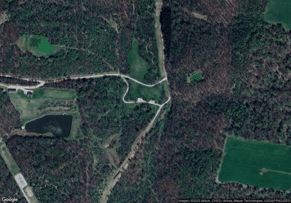
Map
Nearby Homes
- 0 Austin Rd
- 29870 Staats Rd
- 0 Staats Rd
- 11310 Riley Chapel Rd
- 26301 Cavallo Rd
- 31251 State Route 541
- 0 Mckee Rd Unit 5148073
- 0 Mckee Rd Unit 20250523
- 0 Mckee Rd Unit 9067730
- 0 Mckee Rd Unit 225027059
- 0 Mckee Rd Unit LotWP001 23245358
- 0 Mckee Rd Unit 5115050
- 13356 Mowery Rd
- 23080 Stull Rd
- 33436 Township Road 518
- 32603 State Route 541
- 0 Jug Run Rd Unit 224006737
- 13904 Carey Ln
- 29186 Aspen Rd
- 0 Township Road 111 Unit 5077259
- 7899 Rutledge Rd
- 7860 Rutledge Rd
- 0 Rutledge Rd
- 8797 Colgin Rd
- 8617 Colgin Rd
- 8687 Colgin Rd
- 8908 Colgin Rd
- 7533 Rutledge Rd
- 8759 Colgin Rd
- 27641 Newcastle Rd
- 8735 Colgin Rd
- 27407 Newcastle Rd
- 8959 Colgin Rd
- 27877 New Castle Rd
- 8723 Colgin Rd
- 27700 New Castle Rd
- 30765 Newcastle Rd
- 28005 Newcastle Rd
- 7677 Kerr Rd
- 28004 Newcastle Rd