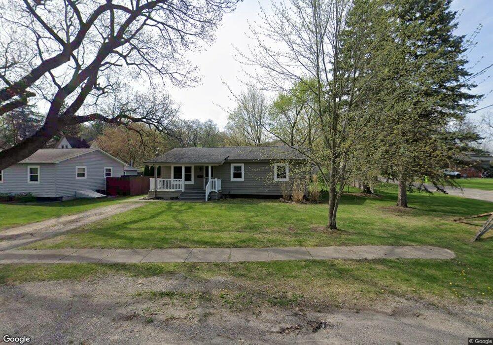
827 Grant St Fenton, MI 48430
Estimated Value: $169,000 - $213,000
3
Beds
1
Bath
1,152
Sq Ft
$166/Sq Ft
Est. Value
About This Home
This home is located at 827 Grant St, Fenton, MI 48430 and is currently estimated at $191,345, approximately $166 per square foot. 827 Grant St is a home located in Genesee County with nearby schools including Fenton Senior High School and St. John the Evangelist Catholic School.
Ownership History
Date
Name
Owned For
Owner Type
Purchase Details
Closed on
Aug 28, 2025
Sold by
Kathleen S Wilson Revocable Living Trust and Moody Carie
Bought by
Moody Carie
Current Estimated Value
Home Financials for this Owner
Home Financials are based on the most recent Mortgage that was taken out on this home.
Original Mortgage
$139,164
Outstanding Balance
$139,164
Interest Rate
6.75%
Mortgage Type
FHA
Estimated Equity
$52,181
Purchase Details
Closed on
Dec 2, 2022
Sold by
Cerne Kimberly
Bought by
Wilson Kathleen
Create a Home Valuation Report for This Property
The Home Valuation Report is an in-depth analysis detailing your home's value as well as a comparison with similar homes in the area
Home Values in the Area
Average Home Value in this Area
Purchase History
| Date | Buyer | Sale Price | Title Company |
|---|---|---|---|
| Moody Carie | $170,000 | Cislo Title Company | |
| Wilson Kathleen | -- | -- |
Source: Public Records
Mortgage History
| Date | Status | Borrower | Loan Amount |
|---|---|---|---|
| Open | Moody Carie | $139,164 |
Source: Public Records
Tax History Compared to Growth
Tax History
| Year | Tax Paid | Tax Assessment Tax Assessment Total Assessment is a certain percentage of the fair market value that is determined by local assessors to be the total taxable value of land and additions on the property. | Land | Improvement |
|---|---|---|---|---|
| 2025 | $1,617 | $82,200 | $0 | $0 |
| 2024 | $1,107 | $78,800 | $0 | $0 |
| 2023 | $1,056 | $71,700 | $0 | $0 |
| 2022 | $1,476 | $66,800 | $0 | $0 |
| 2021 | $1,325 | $63,200 | $0 | $0 |
| 2020 | $870 | $58,200 | $0 | $0 |
| 2019 | $863 | $52,900 | $0 | $0 |
| 2018 | $1,262 | $47,600 | $0 | $0 |
| 2017 | $1,215 | $46,400 | $0 | $0 |
| 2016 | $1,207 | $41,300 | $0 | $0 |
| 2015 | $1,233 | $33,700 | $0 | $0 |
| 2012 | -- | $27,100 | $27,100 | $0 |
Source: Public Records
Map
Nearby Homes
- 211 Colfax St
- 919 Whisperwood Dr
- 837 Whisperwood Trail
- 843 Whisperwood Trail Unit 31
- 305 Furlong Ct
- 700 S Adelaide St
- 0 W Caroline St
- 624 Hickory St
- 405 Lincoln St
- 411 Jefferson St
- 300 E Ellen St
- 300 Union St
- 11577 Farmhill Dr
- 407 E Elizabeth St
- 621 Forest Dr
- 501 N Leroy St
- 911 Newport Dr
- 1001 Worchester Dr
- 404 Main St
- 01 North Rd
- 811 Grant St
- 738 W Shiawassee Ave
- 734 W Shiawassee Ave
- 730 W Shiawassee Ave
- 901 Grant St
- 727 Grant St
- 838 Grant St
- 900 Grant St
- 802 W Shiawassee Ave
- 830 Grant St
- 806 Grant St
- 725 Grant St
- 322 Colfax St
- 905 Grant St
- 509 Franklin St
- 804 Grant St
- 724 W Shiawassee Ave
- 401 Colfax St
- 723 Grant St
- 904 Grant St