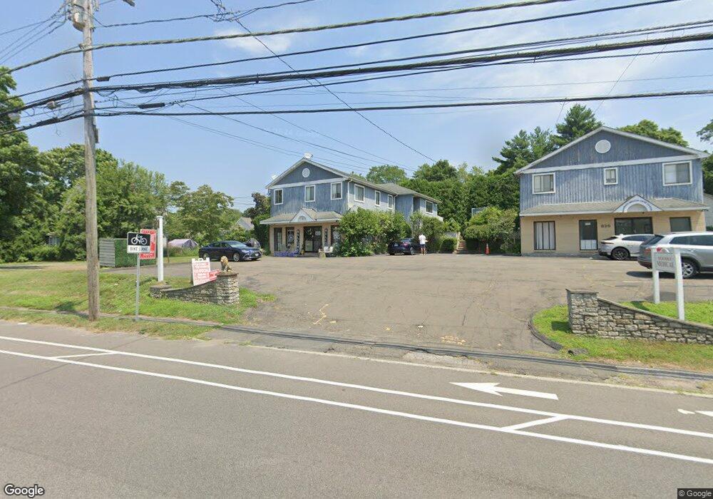
827 High Ridge Rd Stamford, CT 06905
Turn of the River-Newfield NeighborhoodEstimated Value: $753,000 - $1,031,944
3
Beds
2
Baths
1,646
Sq Ft
$534/Sq Ft
Est. Value
About This Home
This home is located at 827 High Ridge Rd, Stamford, CT 06905 and is currently estimated at $879,486, approximately $534 per square foot. 827 High Ridge Rd is a home located in Fairfield County with nearby schools including Davenport Ridge Elementary School, Rippowam Middle School, and Stamford High School.
Ownership History
Date
Name
Owned For
Owner Type
Purchase Details
Closed on
Dec 21, 2023
Sold by
Ahuja Nicholas
Bought by
Ahuja Holdings Llc
Current Estimated Value
Purchase Details
Closed on
Nov 1, 2018
Sold by
Ahuja Nicholas Est and Nicholas
Bought by
827 High Ridge Road Ll
Create a Home Valuation Report for This Property
The Home Valuation Report is an in-depth analysis detailing your home's value as well as a comparison with similar homes in the area
Home Values in the Area
Average Home Value in this Area
Purchase History
| Date | Buyer | Sale Price | Title Company |
|---|---|---|---|
| Ahuja Holdings Llc | -- | None Available | |
| Ahuja Holdings Llc | -- | None Available | |
| 827 High Ridge Road Ll | -- | -- | |
| 827 High Ridge Road Ll | -- | -- |
Source: Public Records
Tax History Compared to Growth
Tax History
| Year | Tax Paid | Tax Assessment Tax Assessment Total Assessment is a certain percentage of the fair market value that is determined by local assessors to be the total taxable value of land and additions on the property. | Land | Improvement |
|---|---|---|---|---|
| 2025 | $11,896 | $502,800 | $211,880 | $290,920 |
| 2024 | $11,635 | $502,800 | $211,880 | $290,920 |
| 2023 | $12,500 | $502,800 | $211,880 | $290,920 |
| 2022 | $10,772 | $402,850 | $157,210 | $245,640 |
| 2021 | $10,655 | $402,850 | $157,210 | $245,640 |
| 2020 | $10,381 | $402,850 | $157,210 | $245,640 |
| 2019 | $10,381 | $402,850 | $157,210 | $245,640 |
| 2018 | $9,999 | $402,850 | $157,210 | $245,640 |
| 2017 | $10,656 | $396,290 | $144,660 | $251,630 |
| 2016 | $10,014 | $396,290 | $144,660 | $251,630 |
| 2015 | $9,753 | $396,290 | $144,660 | $251,630 |
| 2014 | $9,428 | $396,290 | $144,660 | $251,630 |
Source: Public Records
Map
Nearby Homes
- 34 Bradley Place
- 56 Bradley Place
- 14 Barmore Dr
- 38 Lancaster Place
- 27 Emma Rd
- 21 Nichols Ave
- 7 the Reserve at Sterling Ridge
- 113 Wood Ridge Dr
- 160 Wire Mill Rd
- 31 Rosano Rd
- 6 Walnut Ridge Ct
- 12 Walnut Ridge Ct
- 433 High Ridge Rd
- 400 Wire Mill Rd
- 31 Gray Farms Rd
- 393 Upper Haig Ave
- 31 Woodridge Dr S
- 122 Brook Run Ln
- 88 Rockridge Ln
- 22 Hastings Ln
- 827 High Ridge Rd Unit 2
- 825 High Ridge Rd
- 831 High Ridge Rd
- 815 High Ridge Rd
- 12 Tally Ho Ln
- 833 High Ridge Rd
- 22 Saxon Ct
- 5 Tally Ho Ln
- 820 High Ridge Rd
- 820 High Ridge Rd Unit B8
- 820 High Ridge Rd Unit B7
- 820 High Ridge Rd Unit B2
- 820 High Ridge Rd Unit B5
- 820 High Ridge Rd Unit B9
- 21 Saxon Ct
- 826 High Ridge Rd
- 17 Saxon Ct
- 816 High Ridge Rd
- 828 High Ridge Rd Unit BACK
- 15 Tally Ho Ln