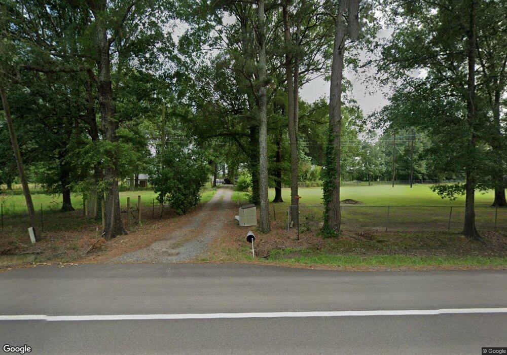
827 Highway 32 W Ashdown, AR 71822
Estimated Value: $200,000 - $284,000
Studio
4
Baths
3,009
Sq Ft
$79/Sq Ft
Est. Value
About This Home
This home is located at 827 Highway 32 W, Ashdown, AR 71822 and is currently estimated at $238,855, approximately $79 per square foot. 827 Highway 32 W is a home located in Little River County with nearby schools including Ashdown Elementary School, L.F. Henderson Interm. School, and Ashdown Junior High School.
Ownership History
Date
Name
Owned For
Owner Type
Purchase Details
Closed on
Sep 24, 2021
Bought by
Bailey Robert F and Terrell Shana
Current Estimated Value
Purchase Details
Closed on
Sep 25, 2008
Bought by
Abney Toni T
Purchase Details
Closed on
Jul 30, 2004
Bought by
Abney Toni B and Abney William J
Purchase Details
Closed on
Nov 22, 1999
Bought by
Tackett Max Arlon
Purchase Details
Closed on
Jan 27, 1999
Bought by
Tackett Max Arlon
Purchase Details
Closed on
Jan 22, 1999
Bought by
Tackett Max Arlon
Purchase Details
Closed on
Dec 21, 1998
Bought by
Tackett Max Arlon
Purchase Details
Closed on
Jan 1, 1985
Bought by
Tackett John Z and Rt 2 Box 24
Create a Home Valuation Report for This Property
The Home Valuation Report is an in-depth analysis detailing your home's value as well as a comparison with similar homes in the area
Purchase History
| Date | Buyer | Sale Price | Title Company |
|---|---|---|---|
| Bailey Robert F | $165,000 | -- | |
| Abney Toni T | -- | -- | |
| Abney Toni B | $107,000 | -- | |
| Tackett Max Arlon | -- | -- | |
| Tackett Max Arlon | $44,100 | -- | |
| Tackett Max Arlon | -- | -- | |
| Tackett Max Arlon | -- | -- | |
| Tackett John Z | -- | -- |
Source: Public Records
Tax History
| Year | Tax Paid | Tax Assessment Tax Assessment Total Assessment is a certain percentage of the fair market value that is determined by local assessors to be the total taxable value of land and additions on the property. | Land | Improvement |
|---|---|---|---|---|
| 2025 | $944 | $36,850 | $3,740 | $33,110 |
| 2024 | $1,044 | $36,850 | $3,740 | $33,110 |
| 2023 | $1,119 | $36,850 | $3,740 | $33,110 |
| 2022 | $1,169 | $36,850 | $3,740 | $33,110 |
| 2021 | $847 | $27,950 | $1,230 | $26,720 |
| 2020 | $796 | $27,950 | $1,230 | $26,720 |
| 2019 | $786 | $27,950 | $1,230 | $26,720 |
| 2018 | $761 | $27,950 | $1,230 | $26,720 |
| 2017 | $710 | $27,950 | $1,230 | $26,720 |
| 2016 | $660 | $24,100 | $1,170 | $22,930 |
| 2015 | $660 | $24,100 | $1,170 | $22,930 |
| 2014 | $609 | $23,740 | $1,029 | $22,711 |
Source: Public Records
Map
Nearby Homes
- 999 Lr 17
- 1001 Arkansas 108
- 1249 S 9th St
- 0 Little River 43
- 000 Little River 43
- 1241 Grant St
- 1331 Grant St
- TBD Little River 32
- TBD Lr 21
- 155 Lr 200
- TBD Lr 183
- 682 U S Highway 71
- 680 U S Highway 71
- 210 E Cowling St
- 260 Frankies Ln
- 1609 Buck Wright Rd
- 1071 Lr 3
- 270 Burke St
- 171 N Dupree St
- 251 S Walker St
- 827 Arkansas 32
- 835 Highway 32 W
- 811 Highway 32 W
- 805 Highway 32 W
- 849 Highway 32 W
- 797 Highway 32 W
- 853 Highway 32 W
- 753 Highway 32 W
- 753 Highway 32 W
- 786 Highway 32 W
- 190 Lr 183
- 104 Little River 21
- 739 Highway 32 W
- 720 Highway 32 W
- 707 Highway 32 W
- 153 Lr 183
- 939 Highway 32 W
- 712 Highway 32 W
- 659 Highway 32 W
- 336 Little River 21
Your Personal Tour Guide
Ask me questions while you tour the home.