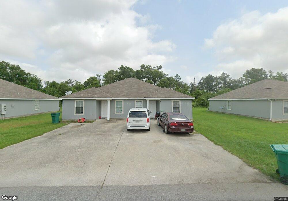
827 Manuel Rd Lake Charles, LA 70607
Estimated Value: $155,581 - $407,000
--
Bed
--
Bath
--
Sq Ft
37
Acres
About This Home
This home is located at 827 Manuel Rd, Lake Charles, LA 70607 and is currently estimated at $277,395. 827 Manuel Rd is a home with nearby schools including M.J. Kaufman Elementary School, Center Elementary School, and F.K. White Middle School.
Ownership History
Date
Name
Owned For
Owner Type
Purchase Details
Closed on
Oct 2, 2009
Sold by
Devillier Ronald Gene
Bought by
Devillier Landry Gene and Devillier Hilda Ruth
Current Estimated Value
Home Financials for this Owner
Home Financials are based on the most recent Mortgage that was taken out on this home.
Original Mortgage
$110,000
Outstanding Balance
$71,975
Interest Rate
5.12%
Mortgage Type
Purchase Money Mortgage
Estimated Equity
$205,420
Purchase Details
Closed on
Apr 21, 2005
Sold by
Devillier Donna Mott
Bought by
Devillier Ronald Gene
Create a Home Valuation Report for This Property
The Home Valuation Report is an in-depth analysis detailing your home's value as well as a comparison with similar homes in the area
Home Values in the Area
Average Home Value in this Area
Purchase History
| Date | Buyer | Sale Price | Title Company |
|---|---|---|---|
| Devillier Landry Gene | $180,000 | None Available | |
| Devillier Ronald Gene | $50,800 | None Available |
Source: Public Records
Mortgage History
| Date | Status | Borrower | Loan Amount |
|---|---|---|---|
| Open | Devillier Landry Gene | $110,000 |
Source: Public Records
Tax History Compared to Growth
Tax History
| Year | Tax Paid | Tax Assessment Tax Assessment Total Assessment is a certain percentage of the fair market value that is determined by local assessors to be the total taxable value of land and additions on the property. | Land | Improvement |
|---|---|---|---|---|
| 2024 | $1,159 | $10,780 | $910 | $9,870 |
| 2023 | $1,159 | $10,780 | $910 | $9,870 |
| 2022 | $1,191 | $10,780 | $910 | $9,870 |
| 2021 | $1,218 | $10,780 | $910 | $9,870 |
| 2020 | $1,099 | $9,750 | $870 | $8,880 |
| 2019 | $1,212 | $10,710 | $840 | $9,870 |
| 2018 | $1,225 | $10,710 | $840 | $9,870 |
| 2017 | $1,221 | $10,710 | $840 | $9,870 |
| 2015 | $1,098 | $10,710 | $840 | $9,870 |
| 2014 | $1,098 | $10,710 | $840 | $9,870 |
| 2013 | $1,098 | $10,710 | $840 | $9,870 |
Source: Public Records
Map
Nearby Homes
- 813 Weeks Ln
- 802 Sundale Dr
- 725 Murbelle Rd
- 0 Murbelle Rd
- 5728 Common St
- 0 Tallow Rd Unit SWL24005610
- 878 Link Rd
- 5924 Common St
- 812 Alan Rd
- 0 Link Rd Unit SWL24005611
- 421 & 423 Broussard Ln Ln
- 404 Arabie Rd
- 0 Petro Point Dr
- TBD Arabie Rd
- 0 Arabie Rd Unit SWL25003336
- 832 Desoto St
- 856 Desoto St
- 312 Arabie Rd
- 714 Rampart St
- 730 Rampart St