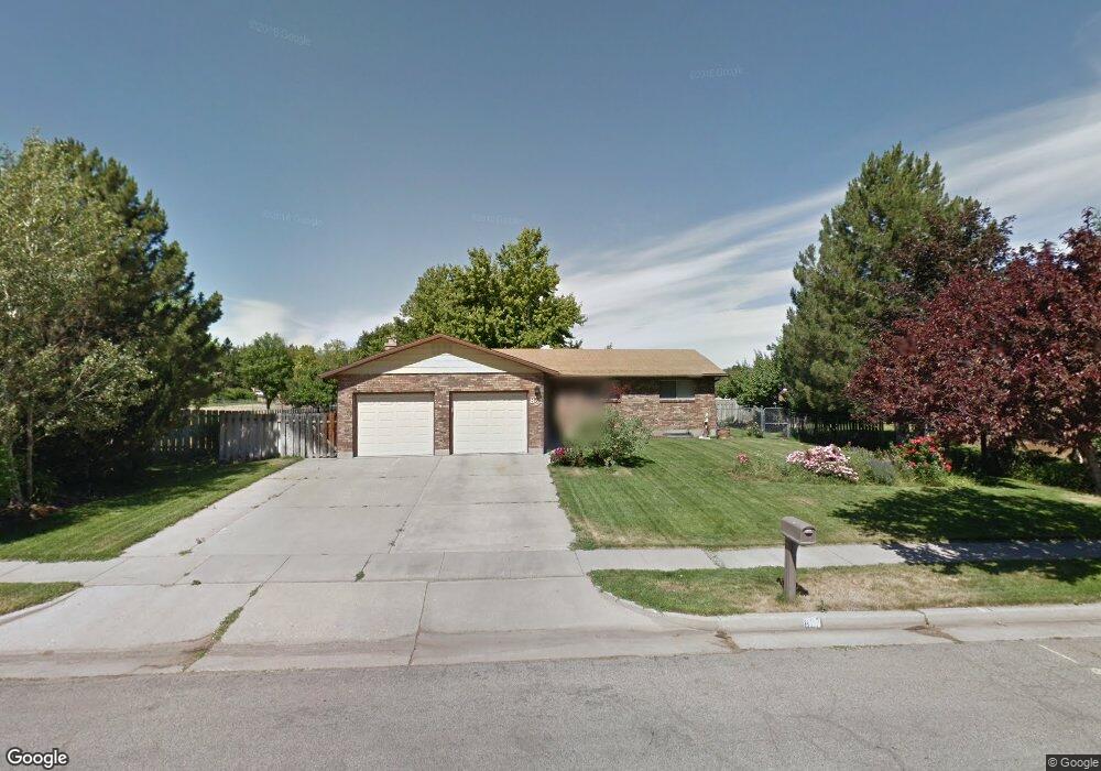
827 N 300 E Brigham City, UT 84302
Estimated Value: $453,057 - $523,000
6
Beds
3
Baths
2,924
Sq Ft
$166/Sq Ft
Est. Value
About This Home
This home is located at 827 N 300 E, Brigham City, UT 84302 and is currently estimated at $484,264, approximately $165 per square foot. 827 N 300 E is a home located in Box Elder County with nearby schools including Box Elder Middle School, Adele C. Young Intermediate School, and Box Elder High School.
Ownership History
Date
Name
Owned For
Owner Type
Purchase Details
Closed on
Feb 15, 2018
Sold by
Whitehead Nicholas and Whitehead Mary
Bought by
Stromness Andrew and Stromness Emilee
Current Estimated Value
Home Financials for this Owner
Home Financials are based on the most recent Mortgage that was taken out on this home.
Original Mortgage
$206,400
Outstanding Balance
$117,219
Interest Rate
3.95%
Mortgage Type
New Conventional
Estimated Equity
$367,045
Purchase Details
Closed on
Aug 28, 2012
Sold by
Reyes Phil and Reyes Julie
Bought by
Leslie Stanley W and Leslie Frances M
Home Financials for this Owner
Home Financials are based on the most recent Mortgage that was taken out on this home.
Original Mortgage
$139,200
Interest Rate
3.5%
Mortgage Type
New Conventional
Create a Home Valuation Report for This Property
The Home Valuation Report is an in-depth analysis detailing your home's value as well as a comparison with similar homes in the area
Home Values in the Area
Average Home Value in this Area
Purchase History
| Date | Buyer | Sale Price | Title Company |
|---|---|---|---|
| Stromness Andrew | -- | First American Title Insuran | |
| Leslie Stanley W | -- | None Available |
Source: Public Records
Mortgage History
| Date | Status | Borrower | Loan Amount |
|---|---|---|---|
| Open | Stromness Andrew | $206,400 | |
| Previous Owner | Leslie Stanley W | $139,200 |
Source: Public Records
Tax History Compared to Growth
Tax History
| Year | Tax Paid | Tax Assessment Tax Assessment Total Assessment is a certain percentage of the fair market value that is determined by local assessors to be the total taxable value of land and additions on the property. | Land | Improvement |
|---|---|---|---|---|
| 2025 | $2,211 | $433,806 | $105,000 | $328,806 |
| 2024 | $2,211 | $425,594 | $100,000 | $325,594 |
| 2023 | $2,298 | $452,881 | $95,000 | $357,881 |
| 2022 | $2,727 | $274,847 | $22,000 | $252,847 |
| 2021 | $2,237 | $292,151 | $40,000 | $252,151 |
| 2020 | $1,798 | $292,151 | $40,000 | $252,151 |
| 2019 | $1,674 | $144,729 | $22,000 | $122,729 |
| 2018 | $1,498 | $128,720 | $22,000 | $106,720 |
| 2017 | $1,271 | $189,227 | $16,500 | $159,227 |
| 2016 | $1,328 | $99,905 | $16,500 | $83,405 |
| 2015 | $1,224 | $92,322 | $16,500 | $75,822 |
| 2014 | $1,224 | $88,712 | $16,500 | $72,212 |
| 2013 | -- | $88,712 | $16,500 | $72,212 |
Source: Public Records
Map
Nearby Homes
- 315 E 900 N
- 760 N Main St
- 801 Medoland Dr
- 621 N 300 E
- 613 N 100 E
- 335 W 950 N Unit 9
- 96 W 950 N Unit 2
- Saddlewood Plan at North Point - Brigham City
- Westminster Plan at North Point - Brigham City
- Sitka Plan at North Point - Brigham City (Townhomes)
- Stonebrook Plan at North Point - Brigham City
- Greystone Plan at North Point - Brigham City
- Madison Plan at North Point - Brigham City
- 81 W 925 N
- 142 W 950 N Unit 5
- 535 N 300 E
- 93 W 925 N
- 154 950 N
- 1206 N 100 E
- 130 W 950 N Unit 4