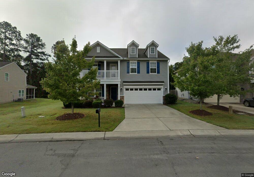
827 Poplar St Durham, NC 27703
Eastern Durham NeighborhoodEstimated Value: $488,000 - $537,000
5
Beds
3
Baths
2,677
Sq Ft
$190/Sq Ft
Est. Value
About This Home
This home is located at 827 Poplar St, Durham, NC 27703 and is currently estimated at $509,488, approximately $190 per square foot. 827 Poplar St is a home located in Durham County with nearby schools including Spring Valley Elementary School, John W Neal Middle School, and Southern School of Energy & Sustainability.
Ownership History
Date
Name
Owned For
Owner Type
Purchase Details
Closed on
Nov 25, 2013
Sold by
The Ryland Group Inc
Bought by
Davis Tarik L and Herbert Esha Nakeitha
Current Estimated Value
Home Financials for this Owner
Home Financials are based on the most recent Mortgage that was taken out on this home.
Original Mortgage
$235,562
Outstanding Balance
$176,759
Interest Rate
4.31%
Mortgage Type
New Conventional
Estimated Equity
$332,729
Create a Home Valuation Report for This Property
The Home Valuation Report is an in-depth analysis detailing your home's value as well as a comparison with similar homes in the area
Home Values in the Area
Average Home Value in this Area
Purchase History
| Date | Buyer | Sale Price | Title Company |
|---|---|---|---|
| Davis Tarik L | $262,000 | None Available |
Source: Public Records
Mortgage History
| Date | Status | Borrower | Loan Amount |
|---|---|---|---|
| Open | Davis Tarik L | $235,562 |
Source: Public Records
Tax History
| Year | Tax Paid | Tax Assessment Tax Assessment Total Assessment is a certain percentage of the fair market value that is determined by local assessors to be the total taxable value of land and additions on the property. | Land | Improvement |
|---|---|---|---|---|
| 2025 | $5,229 | $527,477 | $106,750 | $420,727 |
| 2024 | $4,234 | $303,550 | $54,945 | $248,605 |
| 2023 | $3,976 | $303,550 | $54,945 | $248,605 |
| 2022 | $3,885 | $303,550 | $54,945 | $248,605 |
| 2021 | $3,867 | $303,550 | $54,945 | $248,605 |
| 2020 | $3,776 | $303,550 | $54,945 | $248,605 |
| 2019 | $3,776 | $303,550 | $54,945 | $248,605 |
| 2018 | $3,464 | $255,388 | $48,840 | $206,548 |
| 2017 | $3,439 | $255,388 | $48,840 | $206,548 |
| 2016 | $3,323 | $255,388 | $48,840 | $206,548 |
| 2015 | $3,248 | $234,648 | $46,712 | $187,936 |
| 2014 | $3,248 | $234,648 | $46,712 | $187,936 |
Source: Public Records
Map
Nearby Homes
- 839 Ember Dr
- 806 Poplar St
- 2208 Gilman St
- 819 Ember Dr
- 6 Dawson Ct
- 807 Outlaw Ave
- 1009 Frisco Ct
- 428 Holly Blossom Dr
- 503 Plumleaf Ln
- 1112 Blackthorn Ln
- 1170 Gooding St
- 528 Plumleaf Ln
- 1204 Constellation Cir
- 1202 Constellation Cir
- 1126 Constellation Cir
- 1118 Constellation Cir
- 1116 Constellation Cir
- 3337 Prospect Pkwy
- 621 Wellwater Ave
- 3317 Prospect Pkwy
Your Personal Tour Guide
Ask me questions while you tour the home.