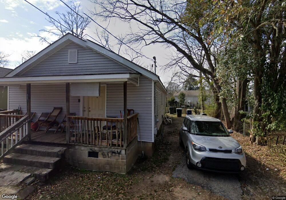
827 Stark St Griffin, GA 30223
Spalding County NeighborhoodEstimated Value: $63,000 - $148,000
2
Beds
1
Bath
816
Sq Ft
$144/Sq Ft
Est. Value
About This Home
This home is located at 827 Stark St, Griffin, GA 30223 and is currently estimated at $117,749, approximately $144 per square foot. 827 Stark St is a home located in Spalding County with nearby schools including Moore Elementary School, Kennedy Road Middle School, and Spalding High School.
Ownership History
Date
Name
Owned For
Owner Type
Purchase Details
Closed on
Aug 14, 2024
Sold by
Bb & M Investment Properties Llc
Bought by
Spo Investment Properies Llc
Current Estimated Value
Purchase Details
Closed on
Jul 22, 2024
Sold by
Bb & M Investment Properties Llc
Bought by
Bb & M Investment Properties Llc
Purchase Details
Closed on
Jun 30, 2016
Sold by
Hollberg Douglas S
Bought by
Bb & M Investment Properties Llc
Purchase Details
Closed on
Feb 20, 2015
Sold by
Hollberg M Douglas
Bought by
Hollberg Douglas S
Purchase Details
Closed on
Jun 8, 1992
Sold by
Hollberg M Douglas Jr Etal
Bought by
Hollberg M Douglas
Purchase Details
Closed on
Jul 1, 1976
Sold by
Hollberg M D
Bought by
Hollberg M Douglas
Create a Home Valuation Report for This Property
The Home Valuation Report is an in-depth analysis detailing your home's value as well as a comparison with similar homes in the area
Home Values in the Area
Average Home Value in this Area
Purchase History
| Date | Buyer | Sale Price | Title Company |
|---|---|---|---|
| Spo Investment Properies Llc | $731,000 | -- | |
| Bb & M Investment Properties Llc | -- | -- | |
| Bb & M Investment Properties Llc | $790,000 | -- | |
| Hollberg Douglas S | $1,046,678 | -- | |
| Hollberg M Douglas | -- | -- | |
| Hollberg M Douglas | $562,500 | -- |
Source: Public Records
Tax History Compared to Growth
Tax History
| Year | Tax Paid | Tax Assessment Tax Assessment Total Assessment is a certain percentage of the fair market value that is determined by local assessors to be the total taxable value of land and additions on the property. | Land | Improvement |
|---|---|---|---|---|
| 2024 | $1,215 | $31,493 | $4,000 | $27,493 |
| 2023 | $935 | $23,402 | $3,600 | $19,802 |
| 2022 | $780 | $19,518 | $2,000 | $17,518 |
| 2021 | $199 | $4,987 | $2,000 | $2,987 |
| 2020 | $199 | $4,987 | $2,000 | $2,987 |
| 2019 | $203 | $4,987 | $2,000 | $2,987 |
| 2018 | $198 | $4,684 | $2,000 | $2,684 |
| 2017 | $194 | $4,684 | $2,000 | $2,684 |
| 2016 | $197 | $4,684 | $2,000 | $2,684 |
| 2015 | $200 | $4,684 | $2,000 | $2,684 |
| 2014 | $206 | $4,684 | $2,000 | $2,684 |
Source: Public Records
Map
Nearby Homes
- 202 Lexington Ave Unit A & B
- 209 Kentucky Ave
- 818 Haskell Ward Dr
- 221 Lexington Ave
- 101 Behan Place
- 112 W Lexington Ave
- 117 Thurman St
- 122 W Lexington Ave
- 125 W Lexington Ave
- 135 Alabama St
- 554 N 8th St
- 607 Lane St
- 546 N 8th St
- 606 N 9th St
- 602 Circus St
- 102 E Cherry St
- 106 E Cherry St
- N 9 St
- 346 Adams St
- 514 Lane St
- 825 Stark St
- 0 Stark St Unit 7505616
- 116 Lexington Ave
- 202 Lexington Ave
- 115 Kentucky Ave
- 820 Stark St
- 117 Kentucky Ave
- 117 Lexington Ave
- 201 Kentucky Ave
- 204 Lexington Ave
- 111 Kentucky Ave
- 0 Kentucky Ave
- 106 Lexington Ave
- 206 Lexington Ave
- 105 Kentucky Ave
- 102 Lexington Ave
- 111 Lexington Ave
- 202 Kentucky Ave
- 208 Lexington Ave
- 101 Kentucky Ave