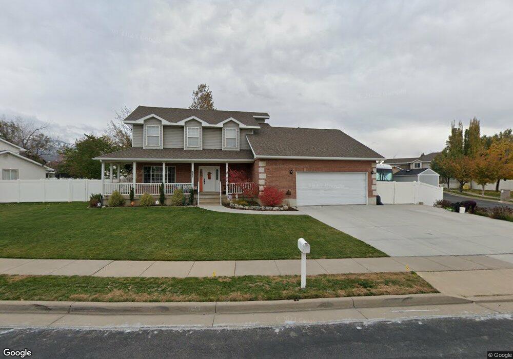
827 W 550 N West Bountiful, UT 84087
Estimated Value: $568,000 - $757,000
4
Beds
3
Baths
2,160
Sq Ft
$297/Sq Ft
Est. Value
About This Home
This home is located at 827 W 550 N, West Bountiful, UT 84087 and is currently estimated at $641,952, approximately $297 per square foot. 827 W 550 N is a home located in Davis County with nearby schools including West Bountiful Elementary School, Bountiful Junior High School, and Viewmont High School.
Ownership History
Date
Name
Owned For
Owner Type
Purchase Details
Closed on
Aug 5, 2019
Sold by
Iosefa Filisi O and Iosefa Shelly A
Bought by
Iosefa Filisi Olivia and Ioaefa Shelly Ann
Current Estimated Value
Purchase Details
Closed on
Jul 1, 1996
Sold by
Davis County School District
Bought by
Iosefa Filisi O and Iosefa Shelly A
Home Financials for this Owner
Home Financials are based on the most recent Mortgage that was taken out on this home.
Original Mortgage
$120,000
Interest Rate
8.09%
Mortgage Type
Balloon
Create a Home Valuation Report for This Property
The Home Valuation Report is an in-depth analysis detailing your home's value as well as a comparison with similar homes in the area
Home Values in the Area
Average Home Value in this Area
Purchase History
| Date | Buyer | Sale Price | Title Company |
|---|---|---|---|
| Iosefa Filisi Olivia | -- | None Available | |
| Iosefa Filisi O | -- | Western States Title Company |
Source: Public Records
Mortgage History
| Date | Status | Borrower | Loan Amount |
|---|---|---|---|
| Closed | Iosefa Filisi O | $120,000 |
Source: Public Records
Tax History Compared to Growth
Tax History
| Year | Tax Paid | Tax Assessment Tax Assessment Total Assessment is a certain percentage of the fair market value that is determined by local assessors to be the total taxable value of land and additions on the property. | Land | Improvement |
|---|---|---|---|---|
| 2025 | $3,334 | $287,100 | $132,670 | $154,430 |
| 2024 | $3,115 | $275,000 | $109,089 | $165,911 |
| 2023 | $2,989 | $485,000 | $206,433 | $278,567 |
| 2022 | $3,049 | $277,200 | $98,966 | $178,234 |
| 2021 | $2,837 | $396,000 | $133,412 | $262,588 |
| 2020 | $2,567 | $354,000 | $123,861 | $230,139 |
| 2019 | $2,574 | $352,000 | $125,032 | $226,968 |
| 2018 | $2,337 | $314,000 | $125,302 | $188,698 |
| 2016 | $2,137 | $156,475 | $32,755 | $123,720 |
| 2015 | $2,046 | $142,505 | $32,755 | $109,750 |
| 2014 | $1,863 | $133,389 | $32,755 | $100,634 |
| 2013 | -- | $136,650 | $43,780 | $92,870 |
Source: Public Records
Map
Nearby Homes
- 767 W 220 N
- 280 N 1100 W
- 825 W 1320 N
- 340 N 500 W Unit 204
- 680 W 500 S Unit 22
- 680 W 500 S Unit 17
- 790 N 500 W
- 399 W 400 N Unit 47
- 366 W 1000 N
- 167 S 425 W
- 637 W 1600 N
- 314 W Center St Unit D135
- 314 W Center St Unit D159
- 314 W Center St Unit E150
- 155 N Peregrine Ln W
- 499 N 200 W Unit 30
- 499 N 200 W Unit 19
- 553 N 200 W
- 75 N Peregrine Ln W Unit 8
- 131 W 25 N Unit 4