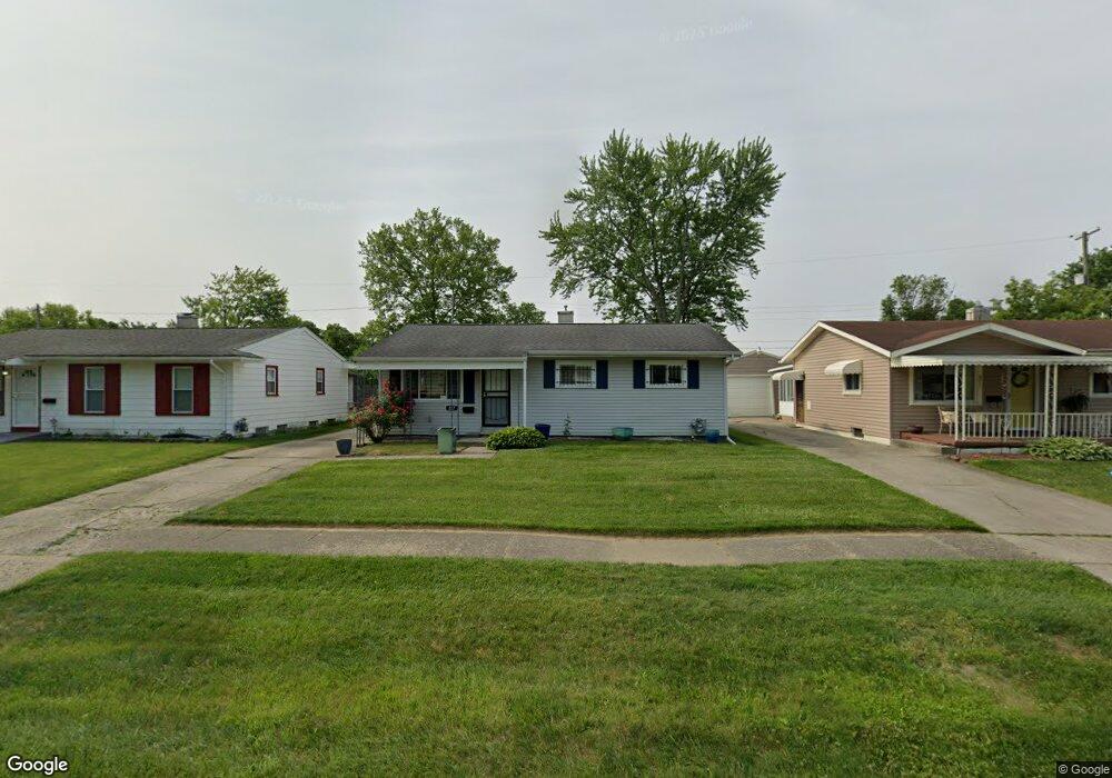
827 W Alma Ave Flint, MI 48505
Brownell NeighborhoodEstimated Value: $46,000 - $69,000
3
Beds
2
Baths
951
Sq Ft
$62/Sq Ft
Est. Value
About This Home
This home is located at 827 W Alma Ave, Flint, MI 48505 and is currently estimated at $58,672, approximately $61 per square foot. 827 W Alma Ave is a home located in Genesee County with nearby schools including Brownell STEM Academy, The New Standard Academy, and Eagle's Nest Academy.
Ownership History
Date
Name
Owned For
Owner Type
Purchase Details
Closed on
Nov 23, 2011
Sold by
Secretary Of Housing & Urban Development
Bought by
Mcintosh Carol
Current Estimated Value
Purchase Details
Closed on
Jul 25, 2011
Sold by
Towne Mortgage Company
Bought by
The Secretary Of Housing & Urban Develop
Purchase Details
Closed on
Oct 20, 2010
Sold by
Balknight Tytisha
Bought by
Towne Mortgage Company
Purchase Details
Closed on
Dec 7, 2001
Sold by
Botley Helen Ruth and Botley Clifford
Bought by
Balknight Tytisha
Create a Home Valuation Report for This Property
The Home Valuation Report is an in-depth analysis detailing your home's value as well as a comparison with similar homes in the area
Home Values in the Area
Average Home Value in this Area
Purchase History
| Date | Buyer | Sale Price | Title Company |
|---|---|---|---|
| Mcintosh Carol | $4,000 | None Available | |
| The Secretary Of Housing & Urban Develop | -- | None Available | |
| Towne Mortgage Company | $66,404 | None Available | |
| Balknight Tytisha | $65,985 | Guaranty Title Company |
Source: Public Records
Tax History Compared to Growth
Tax History
| Year | Tax Paid | Tax Assessment Tax Assessment Total Assessment is a certain percentage of the fair market value that is determined by local assessors to be the total taxable value of land and additions on the property. | Land | Improvement |
|---|---|---|---|---|
| 2025 | $700 | $14,400 | $0 | $0 |
| 2024 | $644 | $11,100 | $0 | $0 |
| 2023 | $638 | $9,500 | $0 | $0 |
| 2022 | $0 | $7,400 | $0 | $0 |
| 2021 | $680 | $7,600 | $0 | $0 |
| 2020 | $694 | $9,000 | $0 | $0 |
| 2019 | $710 | $9,500 | $0 | $0 |
| 2018 | $748 | $10,200 | $0 | $0 |
| 2017 | $764 | $0 | $0 | $0 |
| 2016 | $798 | $0 | $0 | $0 |
| 2015 | -- | $0 | $0 | $0 |
| 2014 | -- | $0 | $0 | $0 |
| 2012 | -- | $15,900 | $0 | $0 |
Source: Public Records
Map
Nearby Homes
- 6914 Daryll Dr
- 6902 Sally Ct
- 6702 Cranwood Dr
- 1015 W Carpenter Rd
- 6610 Cranwood Dr
- 6814 Colonial Dr
- 6628 Orange Ln
- 614 W Holbrook Ave
- 613 W Foss Ave
- 605 W Foss Ave
- 525 W Bundy Ave
- 618 W Austin Ave
- 610 W Austin Ave
- 1499 W Juliah Ave
- 405 W Bundy Ave
- 405 W Lorado Ave
- 536 W Home Ave
- 1816 Russet Place
- 1605 Barbara Dr
- 5714 Suburban Ct