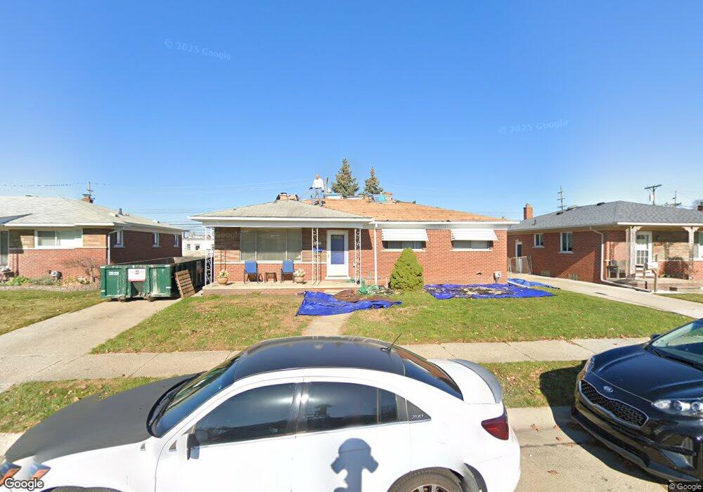
8271 Stanley Dr Unit Bldg-Unit Warren, MI 48093
Northeast Warren NeighborhoodEstimated Value: $229,000 - $259,000
Studio
2
Baths
1,263
Sq Ft
$193/Sq Ft
Est. Value
About This Home
This home is located at 8271 Stanley Dr Unit Bldg-Unit, Warren, MI 48093 and is currently estimated at $244,334, approximately $193 per square foot. 8271 Stanley Dr Unit Bldg-Unit is a home located in Macomb County with nearby schools including Cromie Elementary School, Carter Middle School, and Paul K. Cousino High School.
Ownership History
Date
Name
Owned For
Owner Type
Purchase Details
Closed on
Jan 16, 2018
Sold by
Nazarko Visar
Bought by
Pary Joseph and Vorarath Pary Vanphen
Current Estimated Value
Home Financials for this Owner
Home Financials are based on the most recent Mortgage that was taken out on this home.
Original Mortgage
$147,283
Outstanding Balance
$124,289
Interest Rate
3.94%
Mortgage Type
FHA
Estimated Equity
$120,045
Purchase Details
Closed on
Jan 20, 2017
Sold by
Towd Point Master Funding Trust Reo
Bought by
Nazarko Visar
Purchase Details
Closed on
Apr 29, 2016
Sold by
Shepard Andrea R
Bought by
Us Bank Trust National Association
Purchase Details
Closed on
Apr 20, 2005
Sold by
Davidson Darlene and Jaklitsch Edward
Bought by
Shepard Daniels Andrea R
Create a Home Valuation Report for This Property
The Home Valuation Report is an in-depth analysis detailing your home's value as well as a comparison with similar homes in the area
Home Values in the Area
Average Home Value in this Area
Purchase History
| Date | Buyer | Sale Price | Title Company |
|---|---|---|---|
| Pary Joseph | $150,000 | None Available | |
| Nazarko Visar | $98,000 | None Available | |
| Us Bank Trust National Association | $99,000 | Attorney | |
| Shepard Daniels Andrea R | $151,691 | H & H Title Inc |
Source: Public Records
Mortgage History
| Date | Status | Borrower | Loan Amount |
|---|---|---|---|
| Open | Pary Joseph | $147,283 |
Source: Public Records
Tax History
| Year | Tax Paid | Tax Assessment Tax Assessment Total Assessment is a certain percentage of the fair market value that is determined by local assessors to be the total taxable value of land and additions on the property. | Land | Improvement |
|---|---|---|---|---|
| 2025 | $4,307 | $116,160 | $0 | $0 |
| 2024 | $42 | $107,820 | $0 | $0 |
| 2023 | $3,995 | $98,910 | $0 | $0 |
| 2022 | $3,860 | $85,150 | $0 | $0 |
| 2021 | $3,928 | $78,730 | $0 | $0 |
| 2020 | $3,787 | $74,870 | $0 | $0 |
| 2019 | $3,651 | $68,660 | $0 | $0 |
| 2018 | $74 | $64,740 | $0 | $0 |
| 2017 | $3,141 | $59,560 | $9,880 | $49,680 |
| 2016 | $2,607 | $59,560 | $0 | $0 |
| 2015 | -- | $54,110 | $0 | $0 |
| 2012 | -- | $47,010 | $0 | $0 |
Source: Public Records
Map
Nearby Homes
- 8131 Marian St
- 8263 Linda St
- 8425 Towne Center Cir S Unit 56
- 29242 Lorraine Ct
- 28876 Palm Beach Dr
- 8681 Tucson Ct
- 8225 Dartmouth Dr
- 8207 Dartmouth Dr
- 28031 Lorraine Ave
- 29444 Geraldine Dr
- 29756 City Center Dr Unit 1
- 27618 Marcia Ave
- 11116 Racine Rd
- 29780 Lorraine Ave
- 8210 Hettenberger Ave
- 28804 Aline Dr
- 29948 City Center Dr
- 29960 City Center Dr Unit 1
- 8238 Farnum Ave
- 8206 Farnum Ave
- 8271 Stanley Dr
- 8283 Stanley Dr
- 8259 Stanley Dr
- 8295 Stanley Dr
- 8247 Stanley Dr
- 8242 Twelve Mile Rd
- 8286 E 12 Mile Rd
- 8242 E 12 Mile Rd
- 8319 Stanley Dr
- 8292 E 12 Mile Rd
- 8302 Twelve Mile Rd
- 8235 Stanley Dr
- 8282 Twelve Mile Rd
- 8262 Twelve Mile Rd
- 8270 Stanley Dr
- 8292 E Twelve Mile Rd
- 8282 E 12 Mile Rd
- 8306 12 Mile Rd
- 8306 Twelve Mile Rd
- 8302 E 12 Mile Rd
Your Personal Tour Guide
Ask me questions while you tour the home.