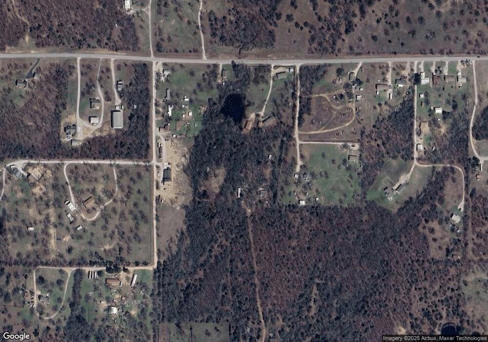
8273 S 127th West Ave Sapulpa, OK 74066
Estimated Value: $100,730 - $135,000
2
Beds
1
Bath
864
Sq Ft
$133/Sq Ft
Est. Value
About This Home
This home is located at 8273 S 127th West Ave, Sapulpa, OK 74066 and is currently estimated at $114,683, approximately $132 per square foot. 8273 S 127th West Ave is a home located in Creek County with nearby schools including Allen-Bowden Public School and Eagle Point Christian Academy.
Ownership History
Date
Name
Owned For
Owner Type
Purchase Details
Closed on
May 25, 2022
Sold by
Miggins John C and Miggins Debra L
Bought by
Miggins 2022 Trust
Current Estimated Value
Purchase Details
Closed on
Jan 24, 2019
Sold by
Trowbridge Brent Allen and Trowbridge Laurie
Bought by
Miggins John C
Purchase Details
Closed on
Jul 17, 2010
Sold by
Hinkle Thomas
Bought by
Bruton Willie Ed and Bruton Dwayne H
Purchase Details
Closed on
Aug 18, 2005
Sold by
Trowbridge Leatha Ann
Bought by
Hinkle Alice M
Create a Home Valuation Report for This Property
The Home Valuation Report is an in-depth analysis detailing your home's value as well as a comparison with similar homes in the area
Home Values in the Area
Average Home Value in this Area
Purchase History
| Date | Buyer | Sale Price | Title Company |
|---|---|---|---|
| Miggins 2022 Trust | -- | Ann H Morris Pc | |
| Miggins John C | $50,000 | First American | |
| Bruton Willie Ed | -- | -- | |
| Hinkle Alice M | -- | None Available |
Source: Public Records
Tax History Compared to Growth
Tax History
| Year | Tax Paid | Tax Assessment Tax Assessment Total Assessment is a certain percentage of the fair market value that is determined by local assessors to be the total taxable value of land and additions on the property. | Land | Improvement |
|---|---|---|---|---|
| 2025 | $574 | $6,907 | $4,680 | $2,227 |
| 2024 | $574 | $6,992 | $4,680 | $2,312 |
| 2023 | $574 | $6,771 | $4,680 | $2,091 |
| 2022 | $544 | $6,523 | $4,680 | $1,843 |
| 2021 | $520 | $6,213 | $4,680 | $1,533 |
| 2020 | $510 | $6,145 | $4,680 | $1,465 |
| 2019 | $67 | $1,812 | $610 | $1,202 |
| 2018 | $59 | $1,708 | $583 | $1,125 |
| 2017 | $56 | $1,659 | $571 | $1,088 |
| 2016 | $52 | $1,610 | $559 | $1,051 |
| 2015 | -- | $1,563 | $548 | $1,015 |
| 2014 | -- | $1,518 | $531 | $987 |
Source: Public Records
Map
Nearby Homes
- 0 S 113th West Ave
- 12466 W 91st Place S
- 0 Tracie Ln
- 114 Sherlyn Ln
- 8228 S 145th Ave W Unit Tract 2
- 8228 S 145th Ave W
- 8420 S 145th West Ave
- 11205 W Tiger Ln
- 8 E Carriage Rd
- 6 E Carriage Rd
- 6872 S 97th West Ave
- 10541 Sahoma Lake Rd
- 1124 N 9th St
- 0 S 97th West Ave
- 6250 S 97th West Ave
- 16930 W 84th St S
- 6202 S 155th West Ave
- 904 N 9th St
- 00 Sahoma Lake Rd
- 10901 W 57th St S
- 8273 S 127th West Ave
- 8233 S 126th West Ave
- 8203 S 126th West Ave
- 12602 W 81st St S
- 12756 W 81st St S
- 0 S 129th Ave Unit 1632769
- 0 S 129th Ave Unit 1710870
- 0 S 129th Ave Unit 2140290
- 8179 S 129th West Ave
- 12446 W 81st St S
- 12400 W 81st St S
- 0 81st St S Unit 1730213
- 12882 W 81st St S
- 12402 W 81st St S
- 8324 S 129th West Ave
- 12380 W 81st St S
- 12950 W 81st St S
- 12366 W 81st St S
- 12344 W 81st St S
- 13050 W 81st St S
