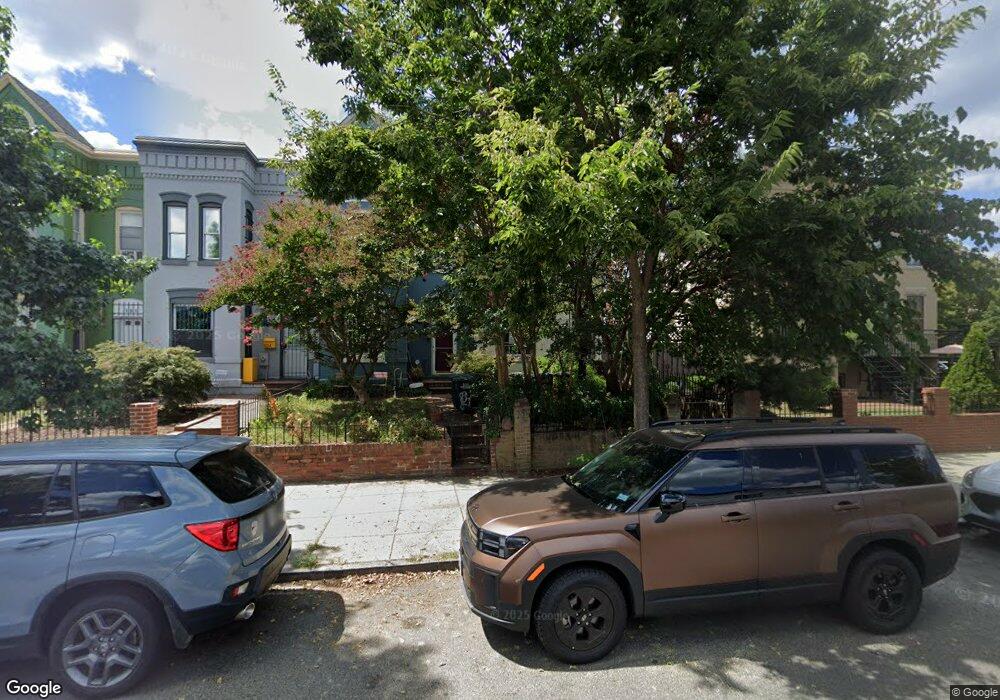
828 12th St NE Washington, DC 20002
Atlas District NeighborhoodEstimated Value: $420,000 - $830,000
3
Beds
1
Bath
1,512
Sq Ft
$477/Sq Ft
Est. Value
About This Home
This home is located at 828 12th St NE, Washington, DC 20002 and is currently estimated at $721,184, approximately $476 per square foot. 828 12th St NE is a home located in District of Columbia with nearby schools including J.O. Wilson Elementary School, Stuart-Hobson Middle School, and Eastern High School.
Ownership History
Date
Name
Owned For
Owner Type
Purchase Details
Closed on
Nov 14, 2024
Sold by
Jones Tonya Patrice and Francois Tonya P
Bought by
Anakainosis Llc
Current Estimated Value
Home Financials for this Owner
Home Financials are based on the most recent Mortgage that was taken out on this home.
Original Mortgage
$634,500
Outstanding Balance
$628,418
Interest Rate
6.32%
Mortgage Type
New Conventional
Estimated Equity
$92,766
Create a Home Valuation Report for This Property
The Home Valuation Report is an in-depth analysis detailing your home's value as well as a comparison with similar homes in the area
Home Values in the Area
Average Home Value in this Area
Purchase History
| Date | Buyer | Sale Price | Title Company |
|---|---|---|---|
| Anakainosis Llc | $430,292 | First American Title Insurance | |
| Anakainosis Llc | $430,292 | First American Title Insurance |
Source: Public Records
Mortgage History
| Date | Status | Borrower | Loan Amount |
|---|---|---|---|
| Open | Anakainosis Llc | $634,500 | |
| Closed | Anakainosis Llc | $634,500 |
Source: Public Records
Tax History Compared to Growth
Tax History
| Year | Tax Paid | Tax Assessment Tax Assessment Total Assessment is a certain percentage of the fair market value that is determined by local assessors to be the total taxable value of land and additions on the property. | Land | Improvement |
|---|---|---|---|---|
| 2024 | $5,966 | $788,940 | $499,040 | $289,900 |
| 2023 | $5,781 | $764,140 | $491,880 | $272,260 |
| 2022 | $5,357 | $719,270 | $454,610 | $264,660 |
| 2021 | $4,888 | $693,040 | $450,100 | $242,940 |
| 2020 | $4,449 | $665,800 | $428,050 | $237,750 |
| 2019 | $4,051 | $623,220 | $402,230 | $220,990 |
| 2018 | $3,694 | $587,390 | $0 | $0 |
| 2017 | $3,366 | $562,830 | $0 | $0 |
| 2016 | $3,065 | $504,420 | $0 | $0 |
| 2015 | $2,789 | $421,710 | $0 | $0 |
| 2014 | $2,546 | $369,690 | $0 | $0 |
Source: Public Records
Map
Nearby Homes
- 819 11th St NE
- 1205 Wylie St NE
- 1217 I St NE
- 1220 Wylie St NE
- 1212 I St NE Unit B
- 1212 I St NE Unit A
- 1227 Wylie St NE
- 1115 H St NE Unit 302
- 919 12th St NE Unit 202
- 919 12th St NE Unit 301
- 1009A I St NE
- 1125 K St NE
- 927 12th St NE
- 1239 Wylie St NE
- 1241 I St NE
- 1232 I St NE Unit 1
- 1010 I St NE
- 1251 I St NE
- 730 11th St NE Unit 203
- 726 11th St NE