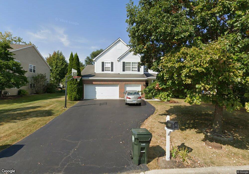
828 Auburn Ln Lindenhurst, IL 60046
Estimated Value: $454,433 - $525,000
4
Beds
3
Baths
2,406
Sq Ft
$203/Sq Ft
Est. Value
About This Home
This home is located at 828 Auburn Ln, Lindenhurst, IL 60046 and is currently estimated at $489,108, approximately $203 per square foot. 828 Auburn Ln is a home located in Lake County with nearby schools including Lakes Community High School.
Ownership History
Date
Name
Owned For
Owner Type
Purchase Details
Closed on
Sep 28, 2006
Sold by
Sanders Rebecca C
Bought by
Sanders Brennan T and Sanders Rebecca C
Current Estimated Value
Home Financials for this Owner
Home Financials are based on the most recent Mortgage that was taken out on this home.
Original Mortgage
$323,000
Outstanding Balance
$197,071
Interest Rate
6.87%
Mortgage Type
Purchase Money Mortgage
Estimated Equity
$292,037
Purchase Details
Closed on
Feb 28, 2003
Sold by
Natures Ridge Lindenhurst Llc
Bought by
Sanders Rebecca C
Home Financials for this Owner
Home Financials are based on the most recent Mortgage that was taken out on this home.
Original Mortgage
$275,990
Interest Rate
5.86%
Create a Home Valuation Report for This Property
The Home Valuation Report is an in-depth analysis detailing your home's value as well as a comparison with similar homes in the area
Home Values in the Area
Average Home Value in this Area
Purchase History
| Date | Buyer | Sale Price | Title Company |
|---|---|---|---|
| Sanders Brennan T | -- | None Available | |
| Sanders Rebecca C | $375,166 | Chicago Title Insurance Comp |
Source: Public Records
Mortgage History
| Date | Status | Borrower | Loan Amount |
|---|---|---|---|
| Open | Sanders Brennan T | $323,000 | |
| Previous Owner | Sanders Rebecca C | $275,990 |
Source: Public Records
Tax History Compared to Growth
Tax History
| Year | Tax Paid | Tax Assessment Tax Assessment Total Assessment is a certain percentage of the fair market value that is determined by local assessors to be the total taxable value of land and additions on the property. | Land | Improvement |
|---|---|---|---|---|
| 2024 | $11,617 | $127,066 | $19,408 | $107,658 |
| 2023 | $10,461 | $112,269 | $17,148 | $95,121 |
| 2022 | $10,461 | $97,437 | $20,610 | $76,827 |
| 2021 | $9,958 | $90,512 | $19,145 | $71,367 |
| 2020 | $9,738 | $87,612 | $18,532 | $69,080 |
| 2019 | $9,980 | $84,202 | $17,811 | $66,391 |
| 2018 | $10,747 | $93,390 | $23,085 | $70,305 |
| 2017 | $10,464 | $90,899 | $22,469 | $68,430 |
| 2016 | $10,690 | $87,218 | $21,559 | $65,659 |
| 2015 | $10,213 | $81,458 | $20,135 | $61,323 |
| 2014 | $8,393 | $73,427 | $16,021 | $57,406 |
| 2012 | $8,584 | $73,781 | $16,098 | $57,683 |
Source: Public Records
Map
Nearby Homes
- 812 Auburn Ln
- 1847 Natures Ct
- 1820 Prairie Ridge Cir
- 1896 E Vista Terrace
- 807 Wedgewood Ct
- 1650 Natures Way
- 705 Porter Cir
- 725 Porter Cir
- 691 N Autumn Cir
- 724 Porter Cir
- 20215 W Miller Rd
- 527 Northgate Rd Unit 28
- 694 Monroe Dr
- 692 Monroe Dr
- 433 Woodland Trail
- 420 Woodland Trail
- 437 Woodland Trail
- 428 Woodland Trail
- 434 Woodland Trail
- 21584 W Lake Ave
- 820 Auburn Ln
- 820 N Auburn Ln
- 1830 Prairie Ridge Cir
- 1832 Prairie Ridge Cir
- 1775 Natures Way
- 1786 Natures Way
- 812 N Auburn Ln
- 1834 Prairie Ridge Cir
- 829 Auburn Ln
- 825 N Auburn Ln
- 825 Auburn Ln
- 833 Auburn Ln
- 837 Auburn Ln
- 804 Auburn Ln
- 1778 Natures Way
- 1765 Natures Way
- 1836 Prairie Ridge Cir
- 1827 Prairie Ridge Cir
- 1815 Natures Ct
- 1829 Prairie Ridge Cir