828 Bill Rutledge Rd Winder, GA 30680
Estimated Value: $1,117,810
--
Bed
--
Bath
10,000
Sq Ft
$112/Sq Ft
Est. Value
About This Home
This home is located at 828 Bill Rutledge Rd, Winder, GA 30680 and is currently estimated at $1,117,810, approximately $111 per square foot. 828 Bill Rutledge Rd is a home located in Barrow County with nearby schools including Kennedy Elementary School, Westside Middle School, and Apalachee High School.
Ownership History
Date
Name
Owned For
Owner Type
Purchase Details
Closed on
Mar 15, 2024
Sold by
Barrett Jimmy C
Bought by
Barrett Jimmy C and Barrett Marilyn C
Current Estimated Value
Purchase Details
Closed on
Jul 3, 2019
Sold by
Monkey Joe Leasing Llc
Bought by
Barrett Jimmy C and Barrett Marilyn C
Purchase Details
Closed on
Jan 14, 2015
Sold by
Stone Kris
Bought by
Leasing Monkey Joe
Purchase Details
Closed on
Jun 23, 2014
Sold by
Moore Donald J
Bought by
Stone Kris
Purchase Details
Closed on
Oct 21, 1999
Sold by
Jmm Family Limited
Bought by
Maynard David Dba
Purchase Details
Closed on
May 21, 1998
Bought by
Jmm Family Limited
Create a Home Valuation Report for This Property
The Home Valuation Report is an in-depth analysis detailing your home's value as well as a comparison with similar homes in the area
Home Values in the Area
Average Home Value in this Area
Purchase History
| Date | Buyer | Sale Price | Title Company |
|---|---|---|---|
| Barrett Jimmy C | -- | -- | |
| Barrett Jimmy C | $620,000 | -- | |
| Leasing Monkey Joe | -- | -- | |
| Stone Kris | $295,000 | -- | |
| Maynard David Dba | $80,100 | -- | |
| Jmm Family Limited | -- | -- |
Source: Public Records
Tax History Compared to Growth
Tax History
| Year | Tax Paid | Tax Assessment Tax Assessment Total Assessment is a certain percentage of the fair market value that is determined by local assessors to be the total taxable value of land and additions on the property. | Land | Improvement |
|---|---|---|---|---|
| 2024 | $5,723 | $228,850 | $48,960 | $179,890 |
| 2023 | $5,772 | $228,850 | $48,960 | $179,890 |
| 2022 | $6,016 | $216,234 | $48,960 | $167,274 |
| 2021 | $4,102 | $131,572 | $24,000 | $107,572 |
| 2020 | $4,113 | $131,572 | $24,000 | $107,572 |
| 2019 | $4,186 | $131,572 | $24,000 | $107,572 |
| 2018 | $4,032 | $129,214 | $24,000 | $105,214 |
| 2017 | $3,583 | $123,054 | $24,000 | $99,054 |
| 2016 | $3,365 | $108,546 | $24,000 | $84,546 |
| 2015 | $3,439 | $110,449 | $24,000 | $86,449 |
| 2014 | $3,254 | $100,840 | $13,440 | $87,400 |
| 2013 | -- | $98,245 | $11,760 | $86,485 |
Source: Public Records
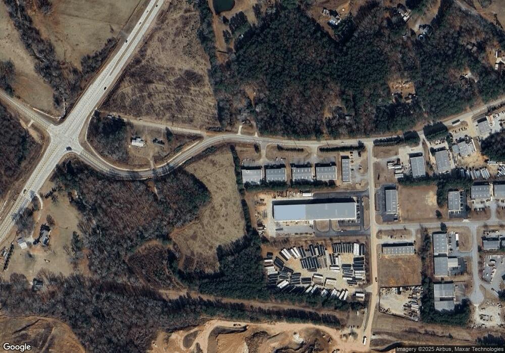
Map
Nearby Homes
- 1120 Carl Bethlehem Rd
- 0 Patrick Mill Rd SW Unit 10654215
- 0 Patrick Mill Rd SW Unit 7689708
- 1237 Carl Bethlehem Rd
- 721 Loblolly Ln
- 138 Livingston Ct
- 32 Livingston Ct
- 903 Kendall Park Dr
- 1411 Silvergate Way
- 613 Bill Rutledge Rd
- 834 Kendall Park Dr Unit 1
- 933 Kendall Park Dr
- 305 Crosswalk Dr
- 38 Holland Cove
- 37 Holland Cove
- 47 Holland Cove
- 50 Holland Cove
- 57 Holland Cove
- 62 Holland Cove
- 784 Morris Ln
- 833 Bill Rutledge Rd Unit 1
- 833 Bill Rutledge Rd
- 605 Patrick Industrial Dr Unit E/F
- 813 Bill Rutledge Rd
- 862 Bill Rutledge Rd
- 807 Bill Rutledge Rd
- 799 Bill Rutledge Rd
- 0 Patrick Mill Rd SW Unit 8697214
- 0 Patrick Mill Rd SW Unit 7634767
- 0 Patrick Mill Rd SW Unit 3118071
- 0 Patrick Mill Rd SW Unit 7032753
- 0 Patrick Mill Rd SW Unit 7323529
- 0 Patrick Mill Rd SW Unit 2 7525073
- 000 Patrick Mill Rd SW
- 420 Patrick Mill Rd SW
- 1106 Carl Bethlehem Rd
- 1102 Carl Bethlehem Rd
- 340 Patrick Mill Rd SW
- 1146 Carl-Bethlehem Rd
- 1146 Carl Bethlehem Rd