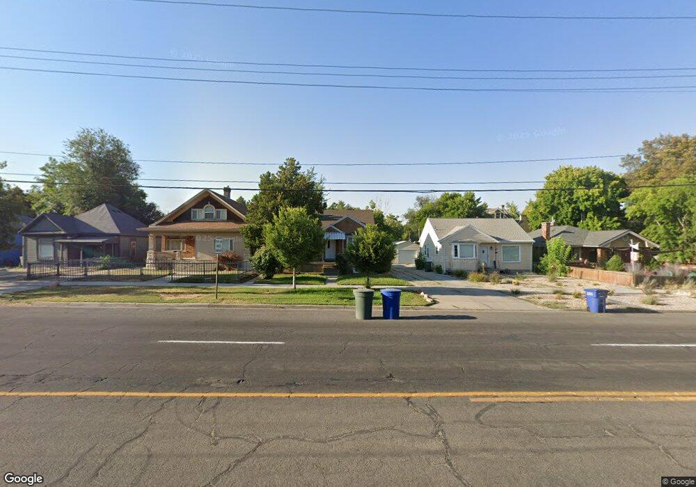
828 E 600 S Salt Lake City, UT 84102
East Central NeighborhoodEstimated Value: $531,000 - $648,000
3
Beds
2
Baths
898
Sq Ft
$651/Sq Ft
Est. Value
About This Home
This home is located at 828 E 600 S, Salt Lake City, UT 84102 and is currently estimated at $584,467, approximately $650 per square foot. 828 E 600 S is a home located in Salt Lake County with nearby schools including Bennion Elementary School, Wasatch Elementary School, and East High School.
Ownership History
Date
Name
Owned For
Owner Type
Purchase Details
Closed on
May 31, 2018
Sold by
Lofswold Troy
Bought by
Dillman Dee and The Dee H Dillman Irrevocable
Current Estimated Value
Purchase Details
Closed on
Oct 17, 2006
Sold by
Lofswold Carole
Bought by
Lofswold Troy
Purchase Details
Closed on
Jul 25, 2006
Sold by
Lofswold Troy
Bought by
Lofswold Carole
Purchase Details
Closed on
Nov 7, 2005
Sold by
Lofswold Carole L
Bought by
Lofswold Troy
Purchase Details
Closed on
Dec 3, 1996
Sold by
Barker Tina Lynne and Barker Brent Lynn
Bought by
Wood David E and Jensen Asha C
Home Financials for this Owner
Home Financials are based on the most recent Mortgage that was taken out on this home.
Original Mortgage
$44,500
Interest Rate
7.86%
Mortgage Type
Seller Take Back
Purchase Details
Closed on
Feb 11, 1992
Sold by
Kjergard William E
Bought by
Lofswold Arthur R and Lofswold Carole Louise
Create a Home Valuation Report for This Property
The Home Valuation Report is an in-depth analysis detailing your home's value as well as a comparison with similar homes in the area
Home Values in the Area
Average Home Value in this Area
Purchase History
| Date | Buyer | Sale Price | Title Company |
|---|---|---|---|
| Dillman Dee | -- | Pioneer Title Ins Agcy | |
| Lofswold Troy | -- | None Available | |
| Lofswold Carole | -- | None Available | |
| Lofswold Troy | -- | None Available | |
| Wood David E | -- | -- | |
| Lofswold Arthur R | -- | -- |
Source: Public Records
Mortgage History
| Date | Status | Borrower | Loan Amount |
|---|---|---|---|
| Previous Owner | Wood David E | $44,500 |
Source: Public Records
Tax History Compared to Growth
Tax History
| Year | Tax Paid | Tax Assessment Tax Assessment Total Assessment is a certain percentage of the fair market value that is determined by local assessors to be the total taxable value of land and additions on the property. | Land | Improvement |
|---|---|---|---|---|
| 2025 | $2,823 | $567,300 | $215,700 | $351,600 |
| 2024 | $2,823 | $538,600 | $204,100 | $334,500 |
| 2023 | $2,839 | $522,200 | $196,200 | $326,000 |
| 2022 | $3,067 | $529,300 | $192,400 | $336,900 |
| 2021 | $2,039 | $318,500 | $145,400 | $173,100 |
| 2020 | $1,969 | $292,800 | $136,800 | $156,000 |
| 2019 | $1,993 | $278,800 | $125,700 | $153,100 |
| 2018 | $1,925 | $262,300 | $125,700 | $136,600 |
| 2017 | $2,017 | $257,400 | $125,700 | $131,700 |
| 2016 | $1,875 | $227,300 | $79,500 | $147,800 |
| 2015 | -- | $219,600 | $81,900 | $137,700 |
| 2014 | $1,851 | $211,000 | $80,300 | $130,700 |
Source: Public Records
Map
Nearby Homes
- 606 S 900 E
- 538 S 800 E
- 717 S 800 E
- 504 S 900 E
- 915 E 600 S
- 543 S 900 E Unit A11
- 531 S 900 E Unit B3
- 827 E 500 S
- 525 S 900 E Unit B2
- 938 E Lowell Ave
- 515 S 1000 E Unit 706
- 515 S 1000 E Unit 406
- 515 S 1000 E Unit 1104
- 515 S 1000 E Unit 504
- 552 S Mcclelland St
- 426 S 1000 E Unit 600
- 426 S 1000 E Unit 707
- 551 S Mcclelland St
- 804 S 700 E Unit 6
- 624 S 600 E