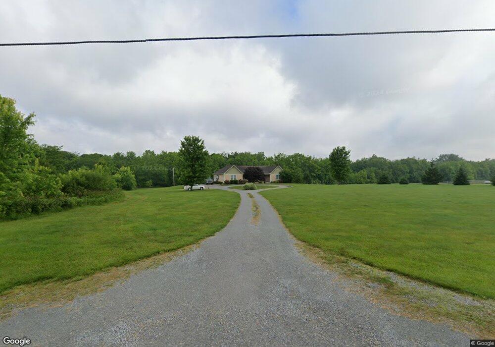
828 E Fork Rd New Vienna, OH 45159
Estimated Value: $319,000 - $422,766
3
Beds
3
Baths
2,256
Sq Ft
$164/Sq Ft
Est. Value
About This Home
This home is located at 828 E Fork Rd, New Vienna, OH 45159 and is currently estimated at $370,692, approximately $164 per square foot. 828 E Fork Rd is a home located in Clinton County with nearby schools including East Clinton High School.
Ownership History
Date
Name
Owned For
Owner Type
Purchase Details
Closed on
Mar 24, 2022
Sold by
Carey Carrie and Carey Carrie M
Bought by
Carey Kevin A
Current Estimated Value
Home Financials for this Owner
Home Financials are based on the most recent Mortgage that was taken out on this home.
Original Mortgage
$240,000
Outstanding Balance
$224,060
Interest Rate
3.85%
Mortgage Type
New Conventional
Estimated Equity
$146,632
Purchase Details
Closed on
Oct 31, 2007
Sold by
Golden Rod Enterprise Llc
Bought by
Carey Kevin and Carey Carrie
Create a Home Valuation Report for This Property
The Home Valuation Report is an in-depth analysis detailing your home's value as well as a comparison with similar homes in the area
Purchase History
| Date | Buyer | Sale Price | Title Company |
|---|---|---|---|
| Carey Kevin A | -- | None Listed On Document | |
| Carey Kevin | $46,666 | -- |
Source: Public Records
Mortgage History
| Date | Status | Borrower | Loan Amount |
|---|---|---|---|
| Open | Carey Kevin A | $240,000 |
Source: Public Records
Tax History
| Year | Tax Paid | Tax Assessment Tax Assessment Total Assessment is a certain percentage of the fair market value that is determined by local assessors to be the total taxable value of land and additions on the property. | Land | Improvement |
|---|---|---|---|---|
| 2024 | $3,982 | $104,790 | $21,210 | $83,580 |
| 2023 | $4,163 | $104,790 | $21,210 | $83,580 |
| 2022 | $4,525 | $96,950 | $11,220 | $85,730 |
| 2021 | $9,480 | $96,950 | $11,220 | $85,730 |
| 2020 | $7,037 | $96,950 | $11,220 | $85,730 |
| 2019 | $7,091 | $74,260 | $11,220 | $63,040 |
| 2018 | $8,420 | $74,260 | $11,220 | $63,040 |
| 2017 | $2,830 | $74,260 | $11,220 | $63,040 |
| 2016 | $2,075 | $54,640 | $10,220 | $44,420 |
| 2015 | $9,539 | $54,640 | $10,220 | $44,420 |
| 2013 | $4,740 | $55,670 | $11,250 | $44,420 |
Source: Public Records
Map
Nearby Homes
- 0 E Fork Rd Unit 1867576
- 0 E Fork Rd Unit 1842519
- 0 E Fork Rd Unit 1829555
- 51 S South St
- 6540 Ohio 350
- 30 Mulligan Dr
- 57 Kings Ct
- 1056 West Rd
- 11ac Steele Rd
- ac Steele Rd
- 10592 Horseshoe Rd
- 1782 Township Highway 159
- 9832 Mad River Rd
- 89 E Main St
- 6081 Panhandle Rd
- 13 S High St
- 2457 Martinsville Rd
- 1200 Farmers Rd
- 1224 Doak Rd
- 260 N Broadway St
- 744 E Fork Rd
- 908 E Fork Rd
- 695 E Fork Rd
- 1038 E Fork Rd
- 2000 E Fork Rd
- 10004 State Route 28
- 10004 St Rt 28
- 10004 Sr 28
- 10259 State Route 28
- 10329 State Route 28
- 10377 State Route 28
- 10350 State Route 28
- 10473 St Rt 28
- 10473 State Route 28
- 4.2ac E Fork Rd
- 5.323ac E Fork Rd
- 10404 State Route 28
- 10516 State Route 28
- 9559 State Route 28
- 1435 E Fork Rd
Your Personal Tour Guide
Ask me questions while you tour the home.