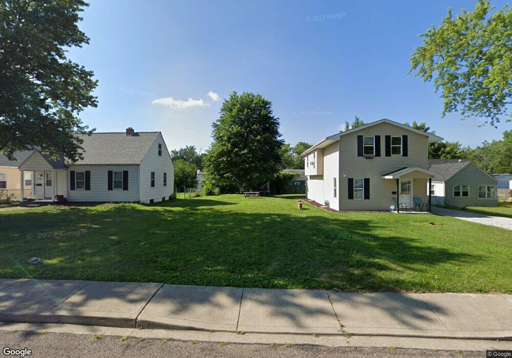
828 E London Ave Peoria Heights, IL 61616
Estimated Value: $98,000
1
Bed
1
Bath
934
Sq Ft
$105/Sq Ft
Est. Value
About This Home
This home is located at 828 E London Ave, Peoria Heights, IL 61616 and is currently estimated at $98,000, approximately $104 per square foot. 828 E London Ave is a home located in Peoria County with nearby schools including Peoria Heights Grade School, Peoria Heights High School, and Peoria Christian School.
Ownership History
Date
Name
Owned For
Owner Type
Purchase Details
Closed on
Apr 3, 2023
Sold by
Bow Denise
Bought by
Quart Benjamin M
Current Estimated Value
Home Financials for this Owner
Home Financials are based on the most recent Mortgage that was taken out on this home.
Original Mortgage
$133,580
Outstanding Balance
$129,901
Interest Rate
6.65%
Mortgage Type
New Conventional
Estimated Equity
-$31,901
Purchase Details
Closed on
May 18, 2020
Sold by
Quad City Consolidated Llc
Bought by
Pierson Denise
Purchase Details
Closed on
May 14, 2020
Sold by
Quad City Consolidated Llc
Bought by
Pierson Denise
Create a Home Valuation Report for This Property
The Home Valuation Report is an in-depth analysis detailing your home's value as well as a comparison with similar homes in the area
Home Values in the Area
Average Home Value in this Area
Purchase History
| Date | Buyer | Sale Price | Title Company |
|---|---|---|---|
| Quart Benjamin M | $139,000 | -- | |
| Pierson Denise | $110,000 | Chicago Title | |
| Pierson Denise | $110,000 | Chicago Title |
Source: Public Records
Mortgage History
| Date | Status | Borrower | Loan Amount |
|---|---|---|---|
| Open | Quart Benjamin M | $133,580 |
Source: Public Records
Tax History Compared to Growth
Tax History
| Year | Tax Paid | Tax Assessment Tax Assessment Total Assessment is a certain percentage of the fair market value that is determined by local assessors to be the total taxable value of land and additions on the property. | Land | Improvement |
|---|---|---|---|---|
| 2023 | $121 | $1,350 | $1,350 | -- |
| 2022 | $130 | $1,420 | $1,420 | $0 |
| 2021 | $126 | $1,350 | $1,350 | $0 |
| 2020 | $129 | $1,320 | $1,320 | $0 |
| 2019 | $128 | $1,320 | $1,320 | $0 |
| 2018 | $104 | $1,080 | $1,080 | $0 |
| 2017 | $105 | $1,100 | $1,100 | $0 |
| 2016 | $142 | $0 | $0 | $0 |
| 2015 | $1,130 | $1,510 | $1,260 | $250 |
| 2014 | $1,143 | $12,180 | $2,290 | $9,890 |
| 2013 | $342 | $12,240 | $2,300 | $9,940 |
Source: Public Records
Map
Nearby Homes
- 1012 E Paris Ave
- 512 E Paris Ave
- 915 E Elmhurst Ave
- 511 E Pasadena Ave
- 3206 N Indiana Ave
- 1000 E Forrest Hill Ave
- 904 E Forrest Hill Ave
- 3923 N Illinois Ave
- 1312 E Wilson Ave
- 908 E Melbourne Ave
- 1411 E Tripp Ave Unit 2
- 4021 N Boulevard Ave
- 4100 N Illinois Ave
- 717 E Maywood Ave
- 1410 E Fairoaks Ave
- 4012 N Boulevard Ave
- 136 E Oak Park Dr
- 516 E Maywood Ave
- 1601 E London Ave
- 3824 N Dayton Ave
- 900 E London Ave
- 824 E London Ave
- 902 E London Ave
- 820 E London Ave
- 829 E Wilson Ave
- 901 E Wilson Ave
- 827 E Wilson Ave
- 903 E Wilson Ave
- 908 E London Ave
- 818 E London Ave
- 821 E Wilson Ave
- 901 E London Ave
- 912 E London Ave
- 829 E London Ave
- 905 E London Ave
- 827 E London Ave
- 819 E Wilson Ave
- 909 E Wilson Ave
- 914 E London Ave