828 McClelland Creek Rd Andrews, NC 28901
Estimated Value: $353,000 - $576,000
3
Beds
2
Baths
3,176
Sq Ft
$147/Sq Ft
Est. Value
About This Home
This home is located at 828 McClelland Creek Rd, Andrews, NC 28901 and is currently estimated at $465,895, approximately $146 per square foot. 828 McClelland Creek Rd is a home located in Cherokee County with nearby schools including Andrews Elementary School, Andrews Middle School, and Andrews High School.
Ownership History
Date
Name
Owned For
Owner Type
Purchase Details
Closed on
Mar 4, 2005
Sold by
Stewart Bernice P and Smith Spencer
Bought by
Tallant Brothers Inc
Current Estimated Value
Home Financials for this Owner
Home Financials are based on the most recent Mortgage that was taken out on this home.
Original Mortgage
$120,000
Interest Rate
5.6%
Mortgage Type
Purchase Money Mortgage
Purchase Details
Closed on
Jun 1, 1993
Bought by
Tallant Edward D and Tallant W
Create a Home Valuation Report for This Property
The Home Valuation Report is an in-depth analysis detailing your home's value as well as a comparison with similar homes in the area
Home Values in the Area
Average Home Value in this Area
Purchase History
| Date | Buyer | Sale Price | Title Company |
|---|---|---|---|
| Tallant Brothers Inc | $150,000 | -- | |
| Tallant Edward D | $33,000 | -- |
Source: Public Records
Mortgage History
| Date | Status | Borrower | Loan Amount |
|---|---|---|---|
| Closed | Tallant Brothers Inc | $120,000 |
Source: Public Records
Tax History Compared to Growth
Tax History
| Year | Tax Paid | Tax Assessment Tax Assessment Total Assessment is a certain percentage of the fair market value that is determined by local assessors to be the total taxable value of land and additions on the property. | Land | Improvement |
|---|---|---|---|---|
| 2024 | $2,027 | $292,430 | $0 | $0 |
| 2023 | $2,017 | $292,430 | $0 | $0 |
| 2022 | $2,017 | $292,430 | $0 | $0 |
| 2021 | $1,695 | $292,430 | $52,800 | $239,630 |
| 2020 | $1,674 | $311,070 | $0 | $0 |
| 2019 | $1,896 | $314,440 | $0 | $0 |
| 2018 | $1,896 | $314,440 | $0 | $0 |
| 2017 | $1,896 | $314,440 | $0 | $0 |
| 2016 | $1,896 | $314,440 | $0 | $0 |
| 2015 | $1,620 | $266,850 | $34,850 | $232,000 |
| 2012 | -- | $267,600 | $35,600 | $232,000 |
Source: Public Records
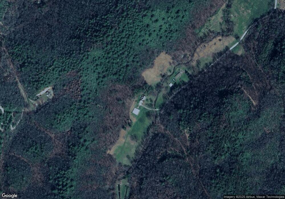
Map
Nearby Homes
- 4404 Pisgah Rd
- 123 Quarry Rd
- 1834 Bristol Ave
- 52 Bear Track Rd
- 186 Fairhaven Dr
- 2526 Pisgah Rd
- 68 Phillips Creek Rd
- TBD Wood Collett Cove
- 00 Collett Woods Trail
- 256 Hillside Ln
- 0 Pisgah Rd
- 86 Pine Grove Dr
- LT 7 Valley View Heights Ln
- 508 Bolden Branch Rd
- 230 Pisgah Rd Unit 430
- 585 Valley View Heights Ln
- 465 Robinson Rd
- 317 Robinson Rd
- 29 Breedlove Dr
- 828 McClelland Creek Rd
- 417 Whispering Pines Hollow
- 417 Whispering Pines Hollow
- 321 Whispering Pines Hollow
- 0 Whispering Pines Hollow
- 000 Whispering Pines Hollow
- TBD Whispering Pines Hollow
- 362 Whispering Pines Hollow
- 3550 Pisgah Rd
- 4270 Pisgah Rd
- 4316 Pisgah Rd
- 360 McClelland Creek Rd
- 360 McClelland Creek Rd
- 326 McClelland Creek Rd
- 668 Whispering Pines Hollow
- 4025 Pisgah Rd
- 4410 Pisgah Rd
- 185 Sniders Creek Rd
- 215 Snyders Creek Rd
- 359 McClelland Creek Rd