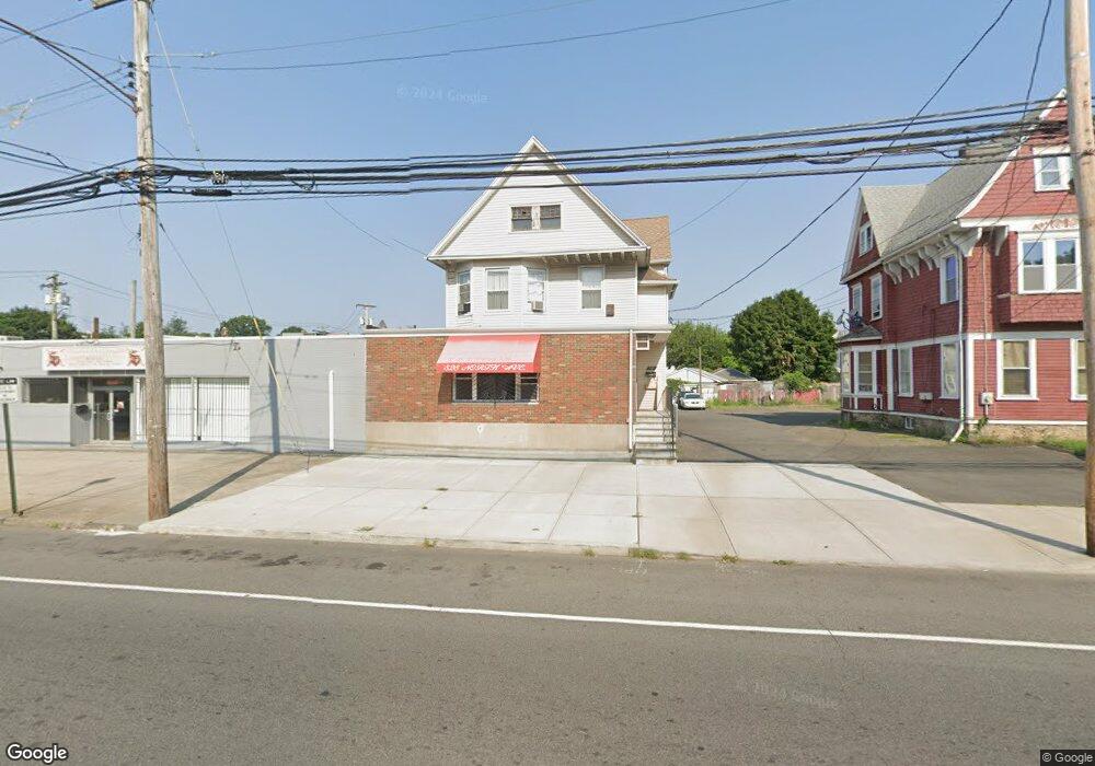
828 North Ave Unit 1 Bridge Port, CT 06606
Brooklawn-Saint Vincent NeighborhoodEstimated Value: $418,916
1
Bed
1
Bath
2,754
Sq Ft
$152/Sq Ft
Est. Value
About This Home
This home is located at 828 North Ave Unit 1, Bridge Port, CT 06606 and is currently estimated at $418,916, approximately $152 per square foot. 828 North Ave Unit 1 is a home located in Fairfield County with nearby schools including Read School, Central High School, and Catholic Academy of Bridgeport-St. Raphael Academy.
Ownership History
Date
Name
Owned For
Owner Type
Purchase Details
Closed on
Nov 15, 2019
Sold by
Rosemarie Hoyt Ret
Bought by
Lauro Chacon and Lauro David Villavicencio
Current Estimated Value
Create a Home Valuation Report for This Property
The Home Valuation Report is an in-depth analysis detailing your home's value as well as a comparison with similar homes in the area
Home Values in the Area
Average Home Value in this Area
Purchase History
| Date | Buyer | Sale Price | Title Company |
|---|---|---|---|
| Lauro Chacon | $251,000 | None Available | |
| Chacon Lauro | $251,000 | None Available |
Source: Public Records
Tax History Compared to Growth
Tax History
| Year | Tax Paid | Tax Assessment Tax Assessment Total Assessment is a certain percentage of the fair market value that is determined by local assessors to be the total taxable value of land and additions on the property. | Land | Improvement |
|---|---|---|---|---|
| 2025 | $9,628 | $221,590 | $121,560 | $100,030 |
| 2024 | $9,628 | $221,590 | $121,560 | $100,030 |
| 2023 | $9,628 | $221,590 | $121,560 | $100,030 |
| 2022 | $9,628 | $221,590 | $121,560 | $100,030 |
| 2021 | $9,628 | $221,590 | $121,560 | $100,030 |
| 2020 | $10,386 | $192,370 | $91,920 | $100,450 |
| 2019 | $10,386 | $192,370 | $91,920 | $100,450 |
| 2018 | $10,459 | $192,370 | $91,920 | $100,450 |
| 2017 | $10,459 | $192,370 | $91,920 | $100,450 |
| 2016 | $10,459 | $192,370 | $91,920 | $100,450 |
| 2015 | $7,385 | $175,000 | $99,580 | $75,420 |
| 2014 | $7,385 | $175,000 | $99,580 | $75,420 |
Source: Public Records
Map
Nearby Homes
- 76 Porter St
- 90 Tom Thumb St
- 78 Fairmount Ave
- 2395 Main St Unit 2397
- 390 Charles St Unit 106
- 724 Capitol Ave Unit 726
- 330 French St
- 152 River St
- 31 Taft Ave
- 318 Center St
- 191 Oak St
- 119 Madison Terrace
- 178 Island Brook Ave
- 604 William St
- 39 Jane St
- 40 Jane St
- 5 William Place
- 957 William St Unit A
- 183 Calhoun Ave
- 289 Harriet St
- 828 North Ave
- 816 North Ave
- 840 North Ave
- 46 Porter St
- 810 North Ave
- 866 North Ave
- 55 Porter St Unit 55 Porter St
- 191 Wells St Unit 2ND F
- 191 Wells St
- 193 Wells St Unit 3RD F
- 193 Wells St
- 56 Porter St Unit 58
- 189 Wells St Unit 191
- 189 Wells St Unit 1ST F
- 827 North Ave
- 827 North Ave Unit 1
- 33 Porter St
- 62 Porter St
- 199 Wells St
- 205 Wells St