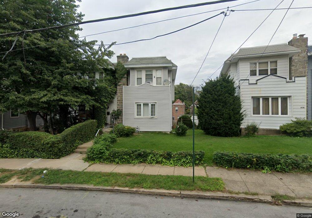
828 Rader Ave Lansdowne, PA 19050
Estimated Value: $223,787 - $290,000
3
Beds
2
Baths
1,360
Sq Ft
$180/Sq Ft
Est. Value
About This Home
This home is located at 828 Rader Ave, Lansdowne, PA 19050 and is currently estimated at $244,697, approximately $179 per square foot. 828 Rader Ave is a home located in Delaware County with nearby schools including Evans Elementary School, Penn Wood Middle School, and Penn Wood High School - Cypress Street Campus.
Ownership History
Date
Name
Owned For
Owner Type
Purchase Details
Closed on
Aug 22, 1995
Sold by
Hud
Bought by
Anglin Daisy
Current Estimated Value
Home Financials for this Owner
Home Financials are based on the most recent Mortgage that was taken out on this home.
Original Mortgage
$30,543
Interest Rate
7.81%
Purchase Details
Closed on
Nov 21, 1994
Sold by
Schwenk Gail
Bought by
Hud
Create a Home Valuation Report for This Property
The Home Valuation Report is an in-depth analysis detailing your home's value as well as a comparison with similar homes in the area
Home Values in the Area
Average Home Value in this Area
Purchase History
| Date | Buyer | Sale Price | Title Company |
|---|---|---|---|
| Anglin Daisy | $34,860 | Commonwealth Land Title Ins | |
| Hud | -- | -- |
Source: Public Records
Mortgage History
| Date | Status | Borrower | Loan Amount |
|---|---|---|---|
| Closed | Anglin Daisy | $30,543 |
Source: Public Records
Tax History
| Year | Tax Paid | Tax Assessment Tax Assessment Total Assessment is a certain percentage of the fair market value that is determined by local assessors to be the total taxable value of land and additions on the property. | Land | Improvement |
|---|---|---|---|---|
| 2025 | $4,454 | $104,300 | $33,220 | $71,080 |
| 2024 | $4,454 | $104,300 | $33,220 | $71,080 |
| 2023 | $4,045 | $104,300 | $33,220 | $71,080 |
| 2022 | $3,857 | $104,300 | $33,220 | $71,080 |
| 2021 | $5,832 | $104,300 | $33,220 | $71,080 |
| 2020 | $3,923 | $62,810 | $19,160 | $43,650 |
| 2019 | $3,853 | $62,810 | $19,160 | $43,650 |
| 2018 | $3,800 | $62,810 | $0 | $0 |
| 2017 | $3,720 | $62,810 | $0 | $0 |
| 2016 | $345 | $62,810 | $0 | $0 |
| 2015 | $352 | $62,810 | $0 | $0 |
| 2014 | $345 | $62,810 | $0 | $0 |
Source: Public Records
Map
Nearby Homes
- 825 Laurel Rd
- 851 Bullock Ave
- 911 W Cobbs Creek Pkwy
- 813 Arbor Rd
- 820 Fern St
- 6535 Windsor St
- 6528 Windsor St
- 1781 S 65th St
- 808 Serrill Ave
- 1757 S Avondale St
- 1758 S Avondale St
- 734 Bullock Ave
- 727 Fern St
- 912 Whitby Ave
- 6951 Chester Ave
- 1016 Whitby Ave
- 1903 S 65th St
- 6520 Allman St
- 6514 Allman St
- 6310 Chester Ave
- 826 Rader Ave
- 830 Rader Ave
- 832 Rader Ave
- 824 Rader Ave
- 834 Rader Ave
- 822 Rader Ave
- 936 W Cobbs Creek Pkwy
- 938 W Cobbs Creek Pkwy
- 934 W Cobbs Creek Pkwy
- 932 W Cobbs Creek Pkwy
- 940 W Cobbs Creek Pkwy
- 942 Macdade Blvd
- 942 W Cobbs Creek Pkwy
- 820 Rader Ave
- 930 W Cobbs Creek Pkwy
- 944 Macdade Blvd
- 944 W Cobbs Creek Pkwy
- 819 Rader Ave
- 928 W Cobbs Creek Pkwy
- 817 Rader Ave
Your Personal Tour Guide
Ask me questions while you tour the home.