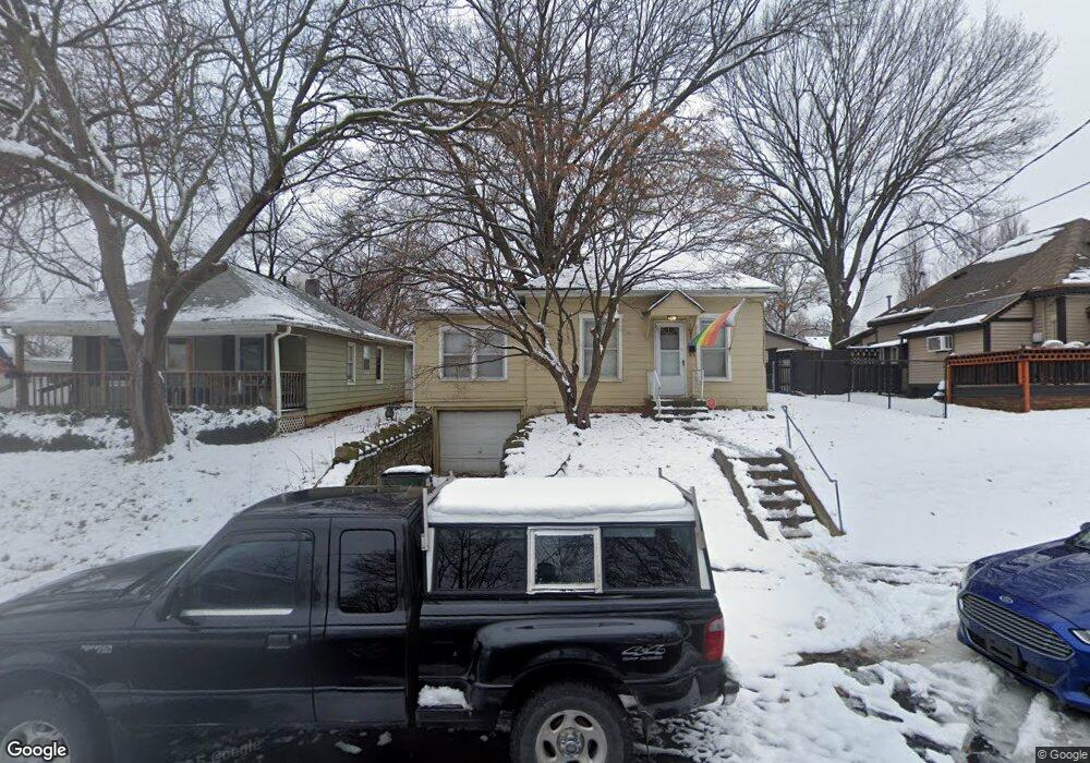
828 S Park Ave Independence, MO 64052
Procter NeighborhoodEstimated Value: $149,000 - $157,000
3
Beds
1
Bath
1,248
Sq Ft
$122/Sq Ft
Est. Value
About This Home
This home is located at 828 S Park Ave, Independence, MO 64052 and is currently estimated at $152,877, approximately $122 per square foot. 828 S Park Ave is a home located in Jackson County with nearby schools including Procter Elementary School, Bridger Middle School, and Bingham Middle School.
Ownership History
Date
Name
Owned For
Owner Type
Purchase Details
Closed on
Sep 8, 2000
Sold by
Untch Matthew R and Untch Anne B
Bought by
Mcallister Jarom C and Mcallister Teri
Current Estimated Value
Home Financials for this Owner
Home Financials are based on the most recent Mortgage that was taken out on this home.
Original Mortgage
$63,654
Outstanding Balance
$23,298
Interest Rate
8.16%
Mortgage Type
VA
Estimated Equity
$129,579
Purchase Details
Closed on
Jan 31, 2000
Sold by
Cheney Bryan D and Cheney Debbie C
Bought by
Untch Matthew R and Untch Anne B
Create a Home Valuation Report for This Property
The Home Valuation Report is an in-depth analysis detailing your home's value as well as a comparison with similar homes in the area
Home Values in the Area
Average Home Value in this Area
Purchase History
| Date | Buyer | Sale Price | Title Company |
|---|---|---|---|
| Mcallister Jarom C | -- | First American Title Ins | |
| Untch Matthew R | -- | First American Title Ins |
Source: Public Records
Mortgage History
| Date | Status | Borrower | Loan Amount |
|---|---|---|---|
| Open | Mcallister Jarom C | $63,654 |
Source: Public Records
Tax History
| Year | Tax Paid | Tax Assessment Tax Assessment Total Assessment is a certain percentage of the fair market value that is determined by local assessors to be the total taxable value of land and additions on the property. | Land | Improvement |
|---|---|---|---|---|
| 2025 | $1,183 | $16,583 | $3,262 | $13,321 |
| 2024 | $1,156 | $17,070 | $2,778 | $14,292 |
| 2023 | $1,156 | $17,069 | $1,799 | $15,270 |
| 2022 | $1,411 | $12,540 | $3,465 | $9,075 |
| 2021 | $1,608 | $12,540 | $3,465 | $9,075 |
| 2020 | $949 | $12,486 | $3,465 | $9,021 |
| 2019 | $934 | $12,486 | $3,465 | $9,021 |
| 2018 | $851 | $10,866 | $3,015 | $7,851 |
| 2017 | $851 | $10,866 | $3,015 | $7,851 |
| 2016 | $823 | $10,398 | $1,370 | $9,028 |
Source: Public Records
Map
Nearby Homes
- 2104 S Norwood Ave
- 1500 W Lexington Ave
- 811 S Marion Ave
- 709 S Willis Ave
- 1322 W 24th St S
- 1613 S Norwood Ave
- 11505 E 24th St S
- 11424 E 17th St S
- 11501 E 24th St S
- 1001 W Hayward Ave
- 1000 W Linden Ave
- 826 S Cottage St
- 901 S Cottage St
- 1510 S Vermont Ave
- 1420 W Walnut Ave
- 1230 W 25th St S
- 712 W 23rd St S
- 105 S Crysler Ave
- 836 W Charles St
- 1224 S Delaware Ave
- 830 S Park Ave
- 824 S Park Ave
- 829 S Park Ave
- 831 S Park Ave
- 827 S Park Ave
- 836 S Park Ave
- 825 S Park Ave
- 820 S Park Ave
- 823 S Park Ave
- 841 S Park Ave
- 825 S Forest Ave
- 818 S Park Ave
- 823 S Forest Ave
- 812 S Park Ave
- 819 S Forest Ave
- 813 S Park Ave
- 817 S Forest Ave
- 808 S Park Ave
- 815 S Forest Ave
- 814 S Woodland Ave
Your Personal Tour Guide
Ask me questions while you tour the home.