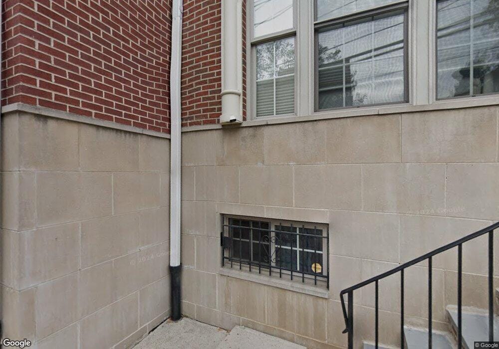
828 S Swanson St Unit 22 Philadelphia, PA 19147
Queen Village NeighborhoodEstimated Value: $798,103 - $1,190,000
3
Beds
8
Baths
2,873
Sq Ft
$325/Sq Ft
Est. Value
About This Home
This home is located at 828 S Swanson St Unit 22, Philadelphia, PA 19147 and is currently estimated at $934,276, approximately $325 per square foot. 828 S Swanson St Unit 22 is a home located in Philadelphia County with nearby schools including William M. Meredith School, Furness Horace High School, and St. Peter's School.
Ownership History
Date
Name
Owned For
Owner Type
Purchase Details
Closed on
Dec 2, 2009
Sold by
Independence Court Llc
Bought by
Roth Jamie C
Current Estimated Value
Home Financials for this Owner
Home Financials are based on the most recent Mortgage that was taken out on this home.
Original Mortgage
$350,000
Outstanding Balance
$228,524
Interest Rate
4.92%
Mortgage Type
New Conventional
Estimated Equity
$705,752
Create a Home Valuation Report for This Property
The Home Valuation Report is an in-depth analysis detailing your home's value as well as a comparison with similar homes in the area
Home Values in the Area
Average Home Value in this Area
Purchase History
| Date | Buyer | Sale Price | Title Company |
|---|---|---|---|
| Roth Jamie C | $550,000 | None Available |
Source: Public Records
Mortgage History
| Date | Status | Borrower | Loan Amount |
|---|---|---|---|
| Open | Roth Jamie C | $350,000 |
Source: Public Records
Tax History Compared to Growth
Tax History
| Year | Tax Paid | Tax Assessment Tax Assessment Total Assessment is a certain percentage of the fair market value that is determined by local assessors to be the total taxable value of land and additions on the property. | Land | Improvement |
|---|---|---|---|---|
| 2025 | $10,536 | $790,000 | $158,000 | $632,000 |
| 2024 | $10,536 | $790,000 | $158,000 | $632,000 |
| 2023 | $10,536 | $752,700 | $150,500 | $602,200 |
| 2022 | $9,909 | $707,700 | $150,500 | $557,200 |
| 2021 | $10,539 | $0 | $0 | $0 |
| 2020 | $10,539 | $752,900 | $214,480 | $538,420 |
| 2019 | $2,770 | $0 | $0 | $0 |
| 2018 | $2,557 | $0 | $0 | $0 |
| 2017 | $2,557 | $0 | $0 | $0 |
| 2016 | $933 | $0 | $0 | $0 |
| 2015 | $893 | $0 | $0 | $0 |
| 2014 | -- | $640,900 | $66,631 | $574,269 |
| 2012 | -- | $137,920 | $26,200 | $111,720 |
Source: Public Records
Map
Nearby Homes
- 1 Christian St Unit 44L
- 0 Christian St Unit 403 PAPH2532648
- 740 S Christopher Columbus Blvd Unit 16
- 740 S Christopher Columbus Blvd Unit 15
- 740 S Columbus Blvd Unit 48
- 814 S Front St
- 854 S Front St
- 858 S Front St
- 117 Catharine St
- 124 Catharine St Unit B
- 758 S Front St
- 717 S Chris Columbus Blvd Unit 1404
- 717 S Chris Columbus Blvd Unit 1610
- 717 S Chris Columbus Blvd Unit PH11
- 717 S Chris Columbus Blvd Unit 802
- 717 S Chris Columbus Blvd Unit 511
- 717 S Chris Columbus Blvd Unit 704
- 717 S Columbus Blvd Unit 812
- 717 S Chris Columbus Blvd Unit 1210
- 717 S Chris Columbus Blvd Unit 1506
- 826 S Swanson St Unit 23
- 832 S Swanson St Unit 20
- 2 Queen St
- 4 Queen St Unit 25
- 6 Queen St
- 836 S Swanson St Unit 18
- 838 Independence Ct
- 8 Queen St
- 864 Independence Ct Unit 49
- 840 Independence Ct Unit 42
- 10 Queen St
- 842 Independence Ct Unit 40
- 5 Christian St
- 844 Independence Ct Unit 39
- 12 Queen St Unit A
- 12 Queen St Unit 30
- 12 Queen St
- 866 Independence Ct
- 840 S Swanson St
- 846 Independence Ct Unit 38
