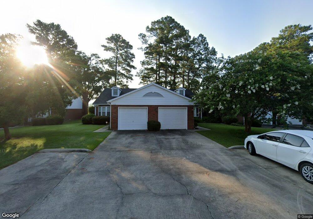
828 St Marys Dr Waycross, GA 31324
Estimated Value: $173,364 - $208,000
3
Beds
3
Baths
1,544
Sq Ft
$126/Sq Ft
Est. Value
About This Home
This home is located at 828 St Marys Dr, Waycross, GA 31324 and is currently estimated at $194,091, approximately $125 per square foot. 828 St Marys Dr is a home located in Ware County with nearby schools including Williams Heights Elementary School, Waycross Middle School, and Ware County High School.
Ownership History
Date
Name
Owned For
Owner Type
Purchase Details
Closed on
Jul 23, 2015
Sold by
Parker Jamie Austin
Bought by
Moose Properties Llc
Current Estimated Value
Home Financials for this Owner
Home Financials are based on the most recent Mortgage that was taken out on this home.
Original Mortgage
$10,000,000
Outstanding Balance
$7,846,134
Interest Rate
4.04%
Mortgage Type
New Conventional
Estimated Equity
-$7,652,043
Purchase Details
Closed on
Sep 26, 2006
Sold by
Snow Betty D
Bought by
Parker Lela P
Purchase Details
Closed on
Jul 25, 1986
Create a Home Valuation Report for This Property
The Home Valuation Report is an in-depth analysis detailing your home's value as well as a comparison with similar homes in the area
Home Values in the Area
Average Home Value in this Area
Purchase History
| Date | Buyer | Sale Price | Title Company |
|---|---|---|---|
| Moose Properties Llc | $96,000 | -- | |
| Parker Lela P | $115,000 | -- | |
| -- | $68,500 | -- |
Source: Public Records
Mortgage History
| Date | Status | Borrower | Loan Amount |
|---|---|---|---|
| Open | Moose Properties Llc | $10,000,000 |
Source: Public Records
Tax History Compared to Growth
Tax History
| Year | Tax Paid | Tax Assessment Tax Assessment Total Assessment is a certain percentage of the fair market value that is determined by local assessors to be the total taxable value of land and additions on the property. | Land | Improvement |
|---|---|---|---|---|
| 2024 | $2,080 | $61,548 | $7,200 | $54,348 |
| 2023 | $2,122 | $53,282 | $2,616 | $50,666 |
| 2022 | $2,123 | $53,282 | $2,616 | $50,666 |
| 2021 | $2,225 | $51,461 | $2,616 | $48,845 |
| 2020 | $2,136 | $49,018 | $2,616 | $46,402 |
| 2019 | $2,005 | $45,355 | $2,616 | $42,739 |
| 2018 | $1,956 | $43,829 | $2,616 | $41,213 |
| 2017 | $1,674 | $43,829 | $2,616 | $41,213 |
| 2016 | $1,674 | $43,829 | $2,616 | $41,213 |
| 2015 | $1,924 | $43,828 | $2,616 | $41,213 |
| 2014 | $1,922 | $43,829 | $2,616 | $41,213 |
| 2013 | -- | $46,404 | $2,616 | $43,788 |
Source: Public Records
Map
Nearby Homes
- 713 Magnolia Dr
- 808 Satilla Blvd
- 903 Atlantic Ave
- 506 Magnolia Dr
- 1100 Atlantic Ave
- 1101 Cherokee Dr
- 511 Richmond Ave
- 0 Saint Marys Dr Unit (TRACT 2 0.25 ACRES)
- 1205 Dean Dr
- 707 Euclid Ave
- 0 Goodwin St
- 907 Euclid Ave
- 1002 Baltimore Ave
- 1009 Euclid Ave
- 1100 Euclid Ave
- 1500 Saint Marys Dr
- 1204 Richmond Ave
- 807 City Blvd
- 1001 Coral Rd
- 807 College St
- 828 Saint Marys Dr
- 826 Saint Marys Dr
- 830 Saint Marys Dr
- 824 Saint Marys Dr
- 834 Saint Marys Dr
- 822 Saint Marys Dr
- 836 Saint Marys Dr
- 820 Saint Marys Dr
- 820 St Mary's Dr
- 838 Saint Marys Dr
- 840 Saint Marys Dr
- 816 Saint Marys Dr
- 842 Saint Marys Dr
- 814 Saint Marys Dr
- 834 St Mary's Dr
- 844 Saint Marys Dr
- 812 Saint Marys Dr
- 810 Saint Marys Dr
- 809 Saint Marys Dr
- 808 Saint Marys Dr