828 Summit Park Trail McDonough, AZ 30253
Estimated Value: $279,185 - $294,000
3
Beds
2
Baths
1,638
Sq Ft
$175/Sq Ft
Est. Value
About This Home
This home is located at 828 Summit Park Trail, McDonough, AZ 30253 and is currently estimated at $286,046, approximately $174 per square foot. 828 Summit Park Trail is a home located in Henry County with nearby schools including Luella Elementary School, Luella Middle School, and Luella High School.
Ownership History
Date
Name
Owned For
Owner Type
Purchase Details
Closed on
Oct 3, 2019
Sold by
Property Owner 8 Llc
Bought by
Progress Residential Borrower 11 Llc
Current Estimated Value
Purchase Details
Closed on
Nov 19, 2018
Sold by
Hamilton David S
Bought by
Property Owner 8 Llc
Purchase Details
Closed on
Sep 1, 2004
Sold by
Knight Group Inc
Bought by
Hamilton David S and Hamilton Melissa
Home Financials for this Owner
Home Financials are based on the most recent Mortgage that was taken out on this home.
Original Mortgage
$132,400
Interest Rate
5.73%
Mortgage Type
New Conventional
Create a Home Valuation Report for This Property
The Home Valuation Report is an in-depth analysis detailing your home's value as well as a comparison with similar homes in the area
Home Values in the Area
Average Home Value in this Area
Purchase History
| Date | Buyer | Sale Price | Title Company |
|---|---|---|---|
| Progress Residential Borrower 11 Llc | -- | -- | |
| Property Owner 8 Llc | $163,000 | -- | |
| Hamilton David S | $139,400 | -- |
Source: Public Records
Mortgage History
| Date | Status | Borrower | Loan Amount |
|---|---|---|---|
| Previous Owner | Hamilton David S | $132,400 |
Source: Public Records
Tax History Compared to Growth
Tax History
| Year | Tax Paid | Tax Assessment Tax Assessment Total Assessment is a certain percentage of the fair market value that is determined by local assessors to be the total taxable value of land and additions on the property. | Land | Improvement |
|---|---|---|---|---|
| 2024 | $4,106 | $119,480 | $16,000 | $103,480 |
| 2023 | $4,534 | $116,360 | $14,000 | $102,360 |
| 2022 | $2,679 | $68,000 | $10,000 | $58,000 |
| 2021 | $2,679 | $68,000 | $10,000 | $58,000 |
| 2020 | $2,679 | $68,000 | $10,000 | $58,000 |
| 2019 | $2,515 | $63,720 | $10,000 | $53,720 |
| 2018 | $2,274 | $57,440 | $10,000 | $47,440 |
| 2016 | $2,045 | $51,480 | $8,000 | $43,480 |
| 2015 | $1,879 | $45,720 | $8,000 | $37,720 |
| 2014 | $1,750 | $41,960 | $8,000 | $33,960 |
Source: Public Records
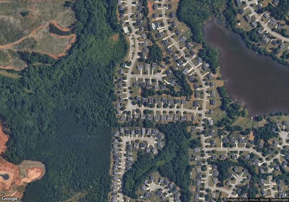
Map
Nearby Homes
- 808 Summit Park Trail
- 909 Teabiscuit Way
- 345 the Gables Dr
- 142 Hampton Cir
- 7009 Lunar Blue Way
- 212 Rustico Ct
- 1029 Climbing Rose Way
- 117 Rendition Dr
- Seneca Plan at Southern Hills
- Hudson Plan at Southern Hills
- Ballenger Plan at Southern Hills
- Columbia Plan at Southern Hills
- 1708 Bouquet Way
- 1708 Bouquet Way Unit 239
- 533 Daffodil Ln
- 520 Daffodil Ln
- 838 Maduro Way
- 316 Bianca Way Unit 199
- 316 Bianca Way
- Liston Plan at Walker Terrace
- 828 Summit Park Trail
- 824 Summit Park Trail
- 820 Summit Park Trail
- 1004 Adie Cove
- 1008 Adie Cove
- 829 Summit Park Trail
- 1012 Adie Cove
- 833 Summit Park Trail
- 825 Summit Park Trail
- 1000 Adie Cove
- 816 Summit Park Trail
- 821 Summit Park Trail
- 837 Summit Park Trail
- 1016 Adie Cove Unit 1016
- 1016 Adie Cove Unit 151
- 1016 Adie Cove
- 853 Summit Park Trail
- 817 Summit Park Trail
- 812 Summit Park Trail
- 857 Summit Park Trail