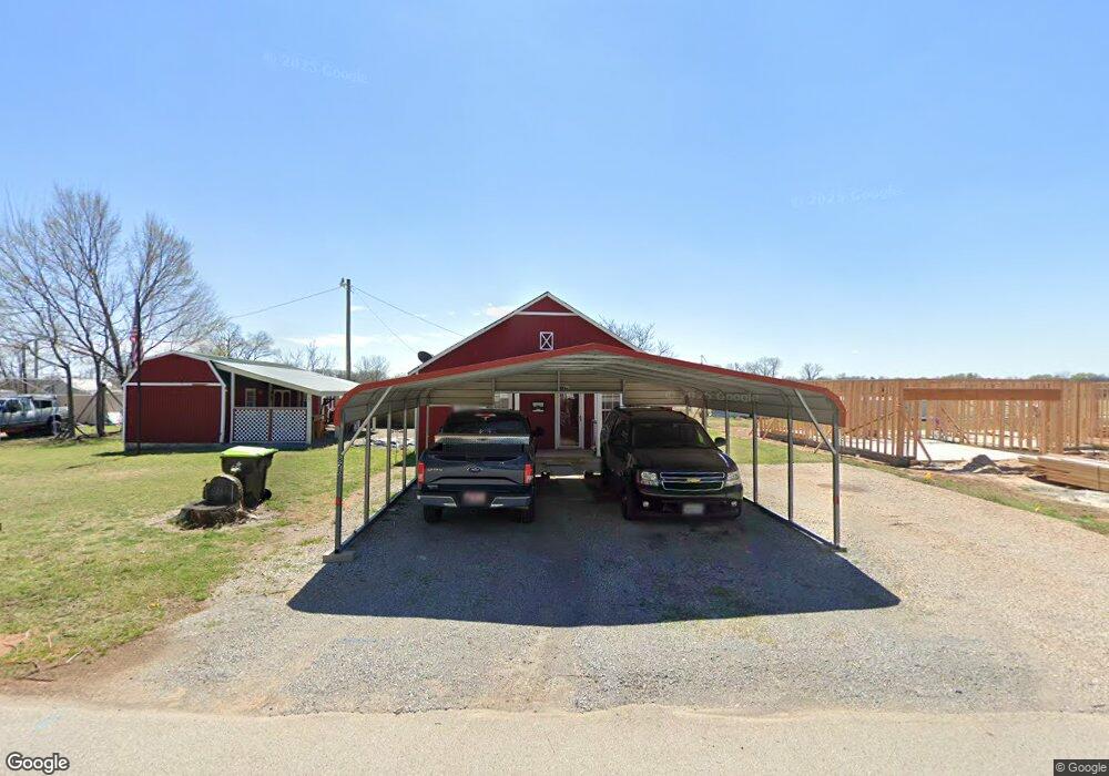
828 W Brule St Purcell, OK 73080
Estimated Value: $72,000 - $143,000
3
Beds
1
Bath
1,064
Sq Ft
$99/Sq Ft
Est. Value
About This Home
This home is located at 828 W Brule St, Purcell, OK 73080 and is currently estimated at $105,637, approximately $99 per square foot. 828 W Brule St is a home located in McClain County with nearby schools including Purcell Elementary School, Purcell Intermediate School, and Purcell Junior High School.
Ownership History
Date
Name
Owned For
Owner Type
Purchase Details
Closed on
Feb 22, 2008
Sold by
Arnold Kenneth Dueon and Arnold Tina R
Bought by
Diggs Johnny R and Diggs Selena L
Current Estimated Value
Home Financials for this Owner
Home Financials are based on the most recent Mortgage that was taken out on this home.
Original Mortgage
$32,149
Outstanding Balance
$19,644
Interest Rate
5.47%
Mortgage Type
Purchase Money Mortgage
Estimated Equity
$85,993
Create a Home Valuation Report for This Property
The Home Valuation Report is an in-depth analysis detailing your home's value as well as a comparison with similar homes in the area
Home Values in the Area
Average Home Value in this Area
Purchase History
| Date | Buyer | Sale Price | Title Company |
|---|---|---|---|
| Diggs Johnny R | $31,500 | None Available |
Source: Public Records
Mortgage History
| Date | Status | Borrower | Loan Amount |
|---|---|---|---|
| Open | Diggs Johnny R | $32,149 |
Source: Public Records
Tax History Compared to Growth
Tax History
| Year | Tax Paid | Tax Assessment Tax Assessment Total Assessment is a certain percentage of the fair market value that is determined by local assessors to be the total taxable value of land and additions on the property. | Land | Improvement |
|---|---|---|---|---|
| 2025 | $318 | $8,805 | $1,694 | $7,111 |
| 2024 | $318 | $3,925 | $1,074 | $2,851 |
| 2023 | $318 | $3,811 | $1,062 | $2,749 |
| 2022 | $290 | $3,700 | $1,047 | $2,653 |
| 2021 | $281 | $3,592 | $1,036 | $2,556 |
| 2020 | $268 | $3,488 | $1,025 | $2,463 |
| 2019 | $262 | $3,387 | $1,001 | $2,386 |
| 2018 | $249 | $3,288 | $985 | $2,303 |
| 2017 | $233 | $3,191 | $1,137 | $2,054 |
| 2016 | $226 | $3,099 | $880 | $2,219 |
| 2015 | $226 | $3,070 | $880 | $2,190 |
| 2014 | $225 | $3,082 | $880 | $2,202 |
Source: Public Records
Map
Nearby Homes
- 1216 S Brook Dr
- 1229 Meadow Brook Dr
- 1225 Meadow Brook Dr
- 1213 Meadow Brook Dr
- 1217 Meadow Brook Dr
- 628 W Main St
- 24956 Norte Rd
- 832 W Adams St
- 819 W Adams St
- 515 S Lester Ln
- 922 Blue Bird Terrace
- 517 Bob White Dr
- 300 W Huron St
- 529 S 2nd Ave
- 941 Blue Bird Terrace
- 124 W Brule St
- 104 W Comanche St
- 601 S Canadian Ave
- 406 S Canadian Ave
- 300 W Monroe St
- 819 W Brule St
- 820 W Brule St
- 821 W Brule St
- 808 W Brule St
- 809 W Comanche St
- 809 W Brule St
- 825 W Brule St
- 827 W Brule St
- 229 S 8th Ave
- 801 Buddy Hudson Ct
- 820 W Apache St
- 816 W Apache St
- 812 W Apache St
- 832 W Apache St
- 217 S 8th Ave
- 846 W Apache St
- 846 W Apache St
- 828 W Apache St
- 824 W Apache St
- 1233 S Brook Dr