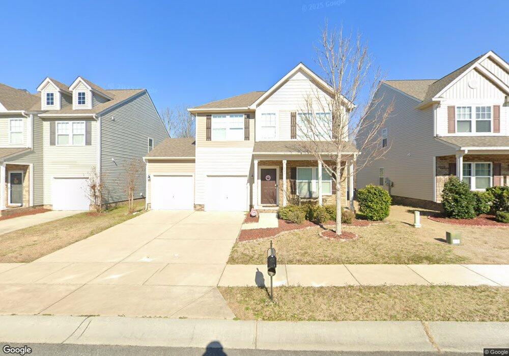
828 Yale St Rock Hill, SC 29730
Estimated Value: $338,000 - $371,000
--
Bed
1
Bath
1,716
Sq Ft
$208/Sq Ft
Est. Value
About This Home
This home is located at 828 Yale St, Rock Hill, SC 29730 and is currently estimated at $357,596, approximately $208 per square foot. 828 Yale St is a home with nearby schools including Oakdale Elementary School, Saluda Trail Middle School, and South Pointe High School.
Ownership History
Date
Name
Owned For
Owner Type
Purchase Details
Closed on
Oct 17, 2013
Sold by
True Homes Llc
Bought by
Sumter Shontay and Sumter Jeffery
Current Estimated Value
Home Financials for this Owner
Home Financials are based on the most recent Mortgage that was taken out on this home.
Original Mortgage
$141,877
Outstanding Balance
$106,692
Interest Rate
4.52%
Mortgage Type
FHA
Estimated Equity
$250,904
Purchase Details
Closed on
Jan 16, 2013
Sold by
Southland Resource Iii Llc
Bought by
True Homes Llc
Purchase Details
Closed on
Jun 12, 2009
Sold by
D R Horton Inc
Bought by
Southland Resource Iii Llc
Create a Home Valuation Report for This Property
The Home Valuation Report is an in-depth analysis detailing your home's value as well as a comparison with similar homes in the area
Home Values in the Area
Average Home Value in this Area
Purchase History
| Date | Buyer | Sale Price | Title Company |
|---|---|---|---|
| Sumter Shontay | $144,495 | -- | |
| True Homes Llc | $27,000 | -- | |
| Southland Resource Iii Llc | $1,500,000 | -- |
Source: Public Records
Mortgage History
| Date | Status | Borrower | Loan Amount |
|---|---|---|---|
| Open | Sumter Shontay | $141,877 |
Source: Public Records
Tax History Compared to Growth
Tax History
| Year | Tax Paid | Tax Assessment Tax Assessment Total Assessment is a certain percentage of the fair market value that is determined by local assessors to be the total taxable value of land and additions on the property. | Land | Improvement |
|---|---|---|---|---|
| 2024 | $2,468 | $11,249 | $1,600 | $9,649 |
| 2023 | $1,346 | $6,118 | $1,250 | $4,868 |
| 2022 | $1,355 | $6,118 | $1,250 | $4,868 |
| 2021 | -- | $6,118 | $1,250 | $4,868 |
| 2020 | $1,358 | $6,118 | $0 | $0 |
| 2019 | $1,218 | $5,320 | $0 | $0 |
| 2018 | $1,217 | $5,320 | $0 | $0 |
| 2017 | $1,172 | $5,320 | $0 | $0 |
| 2016 | $1,161 | $5,320 | $0 | $0 |
| 2014 | $87 | $5,320 | $1,000 | $4,320 |
| 2013 | $87 | $7,980 | $1,500 | $6,480 |
Source: Public Records
Map
Nearby Homes
- 264 Abigail Ct
- 914 Bunker Trace
- 922 Bunker Trace
- 753 Schuyler Dr
- 975 Bunker Trace
- 299 Bellingrath Blvd
- 879 von Buren Blvd
- 617 Schuyler Dr
- 903 von Buren Blvd
- 846 Mallory Dr
- 805 Brunswick Dr
- 940 von Buren Blvd Unit 173
- 263 Fairway Cir
- 172 Fairway Cir
- 1438 America St
- 706 Blake St
- Upton II Plan at Colvin Park
- Inverness Plan at Colvin Park
- Addison II Plan at Colvin Park
- Brooks II Plan at Colvin Park