8281 Colony Dr Unit 51 Grosse Ile, MI 48138
Estimated Value: $176,000 - $207,000
--
Bed
--
Bath
1,392
Sq Ft
$135/Sq Ft
Est. Value
About This Home
This home is located at 8281 Colony Dr Unit 51, Grosse Ile, MI 48138 and is currently estimated at $187,396, approximately $134 per square foot. 8281 Colony Dr Unit 51 is a home located in Wayne County with nearby schools including St. Joseph Elementary School.
Ownership History
Date
Name
Owned For
Owner Type
Purchase Details
Closed on
Nov 20, 2014
Sold by
Pernicano Diane L
Bought by
Federal National Mortgage Association
Current Estimated Value
Purchase Details
Closed on
Nov 4, 2004
Sold by
Mccarthy Robert Hugh and Mccarthy Dolores R
Bought by
Pernicano Diane L
Home Financials for this Owner
Home Financials are based on the most recent Mortgage that was taken out on this home.
Original Mortgage
$109,500
Interest Rate
5.77%
Mortgage Type
Purchase Money Mortgage
Purchase Details
Closed on
Nov 30, 2003
Sold by
Mccarthy Robert H and Mccarthy Dolores R
Bought by
Pernicano Diane L
Create a Home Valuation Report for This Property
The Home Valuation Report is an in-depth analysis detailing your home's value as well as a comparison with similar homes in the area
Home Values in the Area
Average Home Value in this Area
Purchase History
| Date | Buyer | Sale Price | Title Company |
|---|---|---|---|
| Federal National Mortgage Association | $109,045 | None Available | |
| Pernicano Diane L | $136,900 | Title Source Inc | |
| Pernicano Diane L | -- | -- |
Source: Public Records
Mortgage History
| Date | Status | Borrower | Loan Amount |
|---|---|---|---|
| Previous Owner | Pernicano Diane L | $109,500 |
Source: Public Records
Tax History Compared to Growth
Tax History
| Year | Tax Paid | Tax Assessment Tax Assessment Total Assessment is a certain percentage of the fair market value that is determined by local assessors to be the total taxable value of land and additions on the property. | Land | Improvement |
|---|---|---|---|---|
| 2025 | $864 | $78,200 | $0 | $0 |
| 2024 | $864 | $69,700 | $0 | $0 |
| 2023 | $988 | $63,100 | $0 | $0 |
| 2022 | $2,304 | $57,000 | $0 | $0 |
| 2021 | $2,241 | $54,800 | $0 | $0 |
| 2019 | $2,181 | $52,000 | $0 | $0 |
| 2018 | $938 | $49,400 | $0 | $0 |
| 2017 | $2,422 | $45,800 | $0 | $0 |
| 2016 | $1,842 | $44,800 | $0 | $0 |
| 2015 | $3,923 | $41,500 | $0 | $0 |
| 2013 | $3,800 | $39,500 | $0 | $0 |
| 2012 | $863 | $37,700 | $12,000 | $25,700 |
Source: Public Records
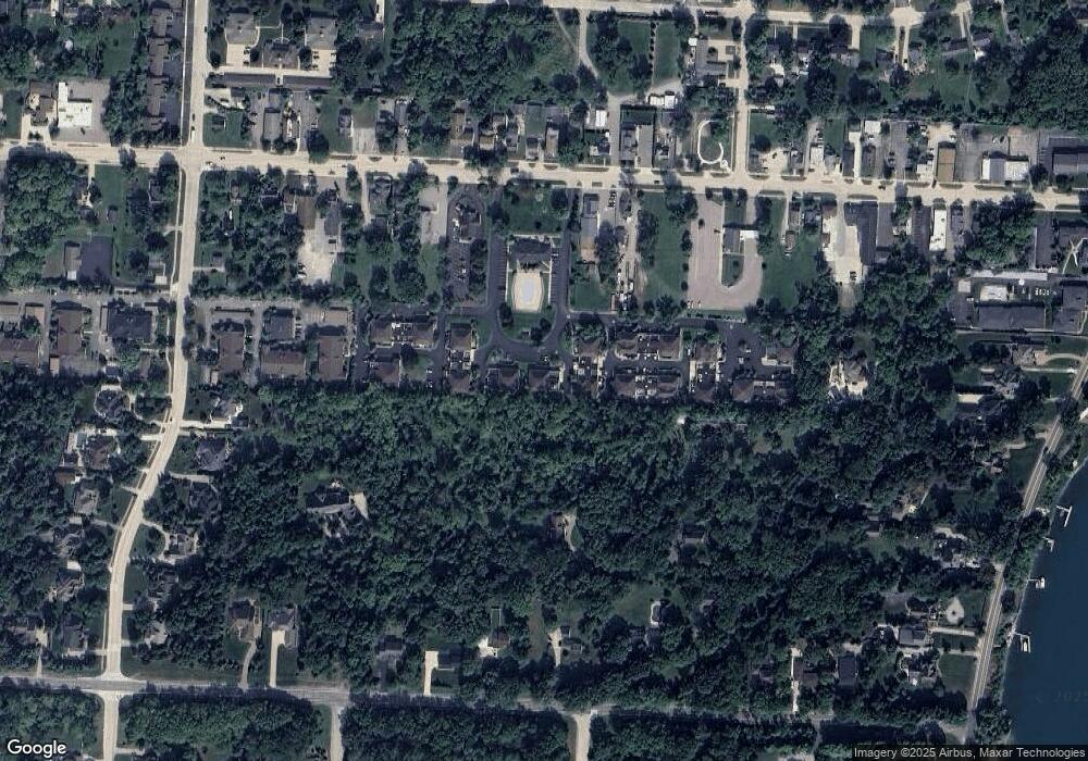
Map
Nearby Homes
- 8309 Colony Dr
- 8095 Colony Dr Unit 23
- 8337 Colony Dr Unit 2
- 8597 Mathias Dr Unit 43
- 0000 Island
- 8269 Bellevue Rd
- Vacant Fourth
- 25438 4th St
- 8454 Grays Dr
- 26031 Hidden Ln
- 25146 Dallas Dr
- 24111 Meridian Rd Unit 120
- 9157 Dallas Dr
- Lot 503 Gi Pkwy
- 00000 Magnolia Ln
- VACANT Oriole Ave
- 8855 Ferry Rd
- 26036 Parke Ln
- 9000 Ferry Rd
- 0 Ferry Rd Unit 20250033371
- 8281 Colony Dr
- 8281 Colony Dr
- 8281 Colony Dr
- 8281 Colony Dr Unit 21
- 8281 Colony Dr Unit 2
- 8281 Colony Dr Unit 22
- 8253 Colony Dr Unit G48
- 8253 Colony Dr
- 8253 Colony Dr
- 8253 Colony Dr
- 8191 Colony Dr Unit 38
- 8191 Colony #2 Unit 38
- 8191 Colony Dr Unit 2 38
- 8191 Colony Dr Unit 38
- 8191 Colony Dr Unit 37
- 8191 Colony Dr
- 8191 Colony Dr
- 8191 Colony Dr
- 8191 Colony Dr
- 8191 Colony Dr