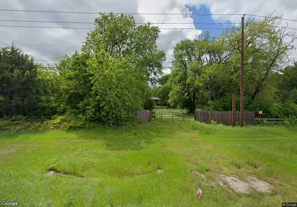
82816 N Hwy 289 Pottsboro, TX 75076
Estimated Value: $277,000
3
Beds
2
Baths
2,372
Sq Ft
$117/Sq Ft
Est. Value
About This Home
This home is located at 82816 N Hwy 289, Pottsboro, TX 75076 and is currently estimated at $277,000, approximately $116 per square foot. 82816 N Hwy 289 is a home located in Grayson County with nearby schools including Pottsboro Elementary School, Pottsboro Middle School, and Pottsboro High School.
Ownership History
Date
Name
Owned For
Owner Type
Purchase Details
Closed on
May 27, 2010
Sold by
Hlavenka Mark and Hlavenka Desiree
Bought by
Dnaland Llc
Current Estimated Value
Purchase Details
Closed on
Sep 30, 2005
Sold by
Eakin Robert R and Cothrum Eddie Ruth Hay
Bought by
Hlavenka Mark and Hlavenka Desiree
Home Financials for this Owner
Home Financials are based on the most recent Mortgage that was taken out on this home.
Original Mortgage
$11,250
Interest Rate
5.65%
Mortgage Type
Unknown
Create a Home Valuation Report for This Property
The Home Valuation Report is an in-depth analysis detailing your home's value as well as a comparison with similar homes in the area
Home Values in the Area
Average Home Value in this Area
Purchase History
| Date | Buyer | Sale Price | Title Company |
|---|---|---|---|
| Dnaland Llc | -- | Grayson County Title | |
| Hlavenka Mark | -- | -- |
Source: Public Records
Mortgage History
| Date | Status | Borrower | Loan Amount |
|---|---|---|---|
| Previous Owner | Hlavenka Mark | $11,250 | |
| Previous Owner | Hlavenka Mark | $90,000 |
Source: Public Records
Tax History Compared to Growth
Tax History
| Year | Tax Paid | Tax Assessment Tax Assessment Total Assessment is a certain percentage of the fair market value that is determined by local assessors to be the total taxable value of land and additions on the property. | Land | Improvement |
|---|---|---|---|---|
| 2025 | $632 | $55,454 | $53,634 | $1,820 |
| 2024 | $632 | $45,612 | $0 | $0 |
| 2023 | $528 | $38,010 | $32,386 | $5,624 |
| 2022 | $426 | $27,042 | $21,691 | $5,351 |
| 2021 | $314 | $19,312 | $16,211 | $3,101 |
| 2020 | $314 | $18,605 | $15,517 | $3,088 |
| 2019 | $329 | $18,614 | $15,517 | $3,097 |
| 2018 | $333 | $18,565 | $15,517 | $3,048 |
| 2017 | $351 | $19,342 | $15,517 | $3,825 |
| 2016 | $352 | $19,388 | $15,517 | $3,871 |
| 2015 | $0 | $101,926 | $15,517 | $86,409 |
| 2014 | -- | $103,773 | $15,517 | $88,256 |
Source: Public Records
Map
Nearby Homes
- 0000 Reeves Rd
- TBD Hagerman Rd
- Lot 48 Spout Springs Rd
- 1050 Cooks Corner Rd
- 283 Cooks Corner Rd
- 34 Cambridge Dr
- 344 Castle Dr
- 81 Windsor Dr
- 207 Wales Dr
- 104 Chisolm Trail
- 109 Chisolm Trail
- 142 Wales Dr
- 191 Black Forest Dr
- 545 Black Forest Dr
- 117 Chisolm Trail
- 226 Cambridge Dr
- 000 Loving Trail
- 121 Shawnee Trail
- 124 Chisolm Trail
- 129 Chisolm Trail