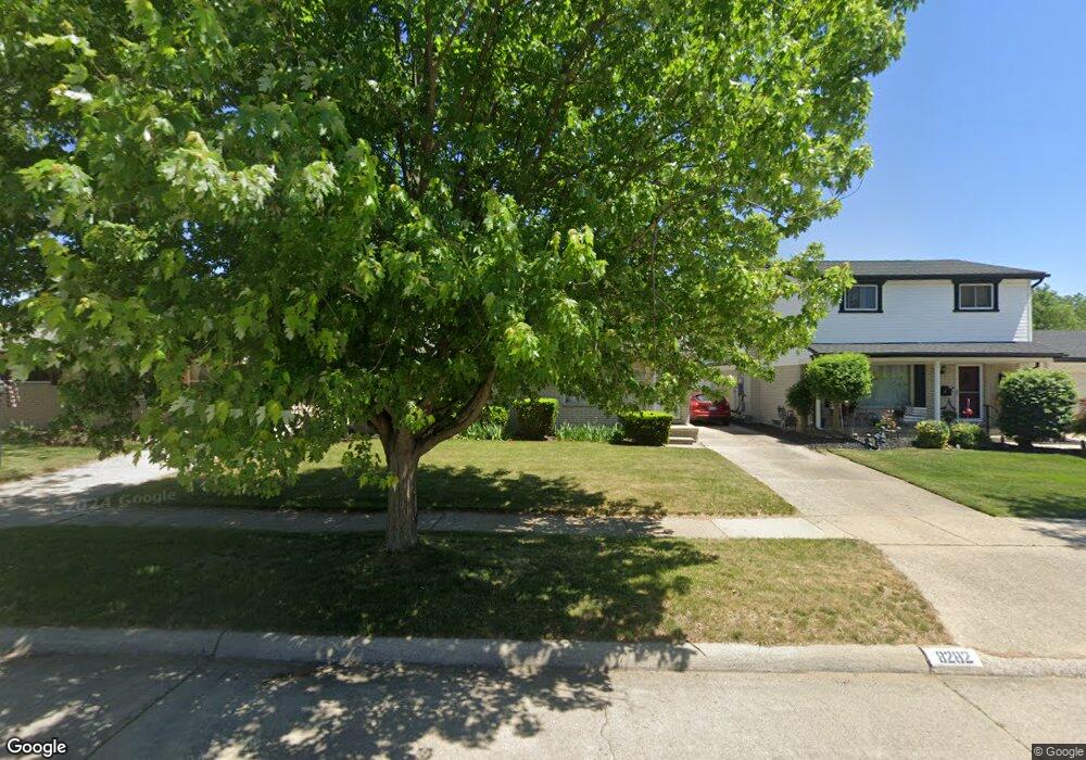
8282 Forrest Dr Canton, MI 48187
Estimated Value: $284,281 - $319,000
Studio
2
Baths
1,306
Sq Ft
$229/Sq Ft
Est. Value
About This Home
This home is located at 8282 Forrest Dr, Canton, MI 48187 and is currently estimated at $299,070, approximately $228 per square foot. 8282 Forrest Dr is a home located in Wayne County with nearby schools including Canton High School, East Middle School, and Salem High School.
Ownership History
Date
Name
Owned For
Owner Type
Purchase Details
Closed on
Apr 8, 1998
Sold by
Bako Kelly L and Bako Stephen J
Bought by
Strong Thomas W
Current Estimated Value
Purchase Details
Closed on
Feb 24, 1995
Sold by
Lafrance Michael G
Bought by
Bakonyi Stephen J and Dodd Kelly
Purchase Details
Closed on
May 26, 1994
Sold by
Dale D Hill Est
Bought by
Lafrance Kathleen L
Home Financials for this Owner
Home Financials are based on the most recent Mortgage that was taken out on this home.
Original Mortgage
$89,650
Interest Rate
8.48%
Mortgage Type
FHA
Create a Home Valuation Report for This Property
The Home Valuation Report is an in-depth analysis detailing your home's value as well as a comparison with similar homes in the area
Home Values in the Area
Average Home Value in this Area
Purchase History
| Date | Buyer | Sale Price | Title Company |
|---|---|---|---|
| Strong Thomas W | $142,000 | -- | |
| Bakonyi Stephen J | $108,500 | -- | |
| Lafrance Kathleen L | $90,000 | -- |
Source: Public Records
Mortgage History
| Date | Status | Borrower | Loan Amount |
|---|---|---|---|
| Previous Owner | Lafrance Kathleen L | $89,650 |
Source: Public Records
Tax History
| Year | Tax Paid | Tax Assessment Tax Assessment Total Assessment is a certain percentage of the fair market value that is determined by local assessors to be the total taxable value of land and additions on the property. | Land | Improvement |
|---|---|---|---|---|
| 2025 | $1,373 | $137,500 | $0 | $0 |
| 2024 | $1,334 | $125,000 | $0 | $0 |
| 2023 | $1,272 | $114,200 | $0 | $0 |
| 2022 | $2,889 | $103,000 | $0 | $0 |
| 2021 | $2,806 | $94,000 | $0 | $0 |
| 2020 | $2,774 | $90,800 | $0 | $0 |
| 2019 | $2,727 | $78,560 | $0 | $0 |
| 2018 | $1,081 | $75,380 | $0 | $0 |
| 2017 | $2,791 | $72,500 | $0 | $0 |
| 2016 | $2,445 | $69,600 | $0 | $0 |
| 2015 | $5,941 | $65,120 | $0 | $0 |
| 2013 | $5,756 | $59,990 | $0 | $0 |
| 2010 | -- | $65,660 | $28,234 | $37,426 |
Source: Public Records
Map
Nearby Homes
- 39857 Edmundton St
- 40504 Newport Dr
- 8895 Knolson Ave
- 38443 Meghan Ln
- 40526 Newport Dr Unit 99
- 40584 Newport Ct
- 40548 Newport Dr
- 38508 Alma Ln
- 40666 Newport Dr
- 40705 Newport Dr
- 39500 Warren Rd Unit 242
- 39500 Warren Rd Unit 144
- 39500 Warren Rd Unit 154
- 39500 Warren Rd Unit 115
- 39500 Warren Rd Unit 174
- 219 W Fern
- 37759 Colonial Dr Unit 70
- 37674 Colonial Dr S
- 39110 Orangelawn St
- 38731 Ann Arbor Trail
- 8270 Forrest Dr
- 8292 Forrest Dr
- 8258 Forrest Dr
- 8306 Forrest Dr
- 8283 Orhan St
- 8271 Orhan St
- 8295 Orhan St
- 8318 Forrest Dr
- 8246 Forrest Dr
- 8259 Orhan St
- 8307 Orhan St
- 8281 Forrest Dr
- 8269 Forrest Dr
- 8293 Forrest Dr
- 8247 Orhan St
- 8319 Orhan St
- 8257 Forrest Dr
- 8330 Forrest Dr
- 8234 Forrest Dr
- 8305 Forrest Dr
Your Personal Tour Guide
Ask me questions while you tour the home.