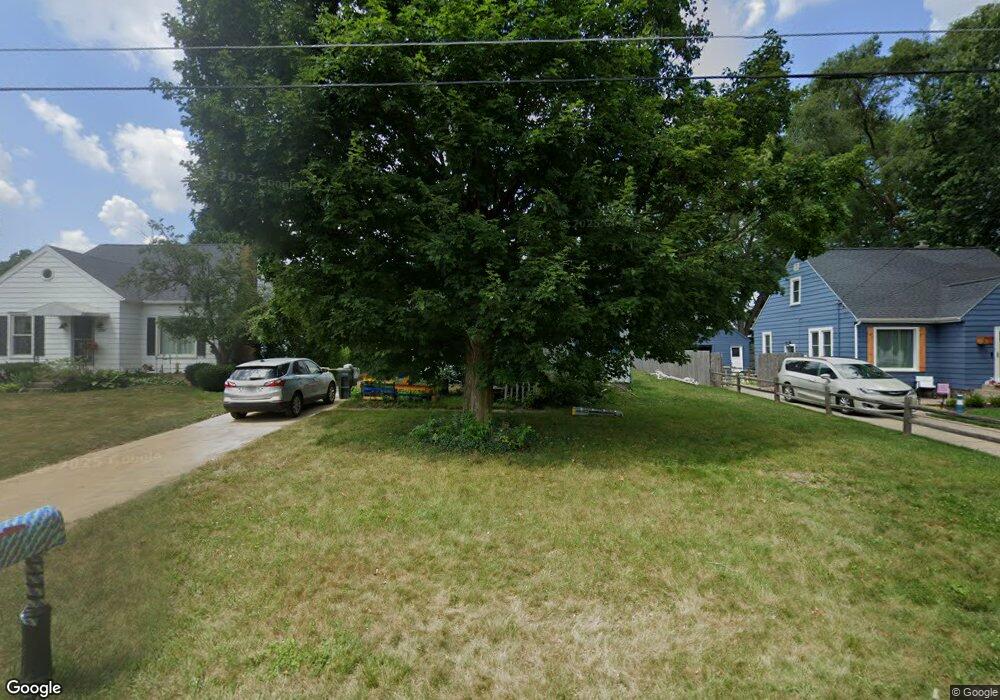
8285 Freeland Ave SW Byron Center, MI 49315
Estimated Value: $302,000 - $377,000
3
Beds
2
Baths
1,625
Sq Ft
$211/Sq Ft
Est. Value
About This Home
This home is located at 8285 Freeland Ave SW, Byron Center, MI 49315 and is currently estimated at $343,679, approximately $211 per square foot. 8285 Freeland Ave SW is a home located in Kent County with nearby schools including Brown Elementary School, Robert L. Nickels Intermediate School, and Byron Center West Middle School.
Ownership History
Date
Name
Owned For
Owner Type
Purchase Details
Closed on
Apr 11, 2007
Sold by
Dennett Gregory A and Dennett Denise K
Bought by
Levian David and Levian Dawn
Current Estimated Value
Home Financials for this Owner
Home Financials are based on the most recent Mortgage that was taken out on this home.
Original Mortgage
$130,965
Outstanding Balance
$79,359
Interest Rate
6.19%
Mortgage Type
FHA
Estimated Equity
$264,320
Create a Home Valuation Report for This Property
The Home Valuation Report is an in-depth analysis detailing your home's value as well as a comparison with similar homes in the area
Home Values in the Area
Average Home Value in this Area
Purchase History
| Date | Buyer | Sale Price | Title Company |
|---|---|---|---|
| Levian David | $132,000 | None Available |
Source: Public Records
Mortgage History
| Date | Status | Borrower | Loan Amount |
|---|---|---|---|
| Open | Levian David | $130,965 |
Source: Public Records
Tax History Compared to Growth
Tax History
| Year | Tax Paid | Tax Assessment Tax Assessment Total Assessment is a certain percentage of the fair market value that is determined by local assessors to be the total taxable value of land and additions on the property. | Land | Improvement |
|---|---|---|---|---|
| 2025 | $1,701 | $128,800 | $0 | $0 |
| 2024 | $1,701 | $124,400 | $0 | $0 |
| 2023 | $1,627 | $115,000 | $0 | $0 |
| 2022 | $2,229 | $99,900 | $0 | $0 |
| 2021 | $1,511 | $94,400 | $0 | $0 |
| 2020 | $1,498 | $91,800 | $0 | $0 |
| 2019 | $2,162 | $86,600 | $0 | $0 |
| 2018 | $2,118 | $76,000 | $14,000 | $62,000 |
| 2017 | $2,057 | $70,400 | $0 | $0 |
| 2016 | $1,980 | $70,000 | $0 | $0 |
| 2015 | $1,954 | $70,000 | $0 | $0 |
| 2013 | -- | $62,500 | $0 | $0 |
Source: Public Records
Map
Nearby Homes
- 670 84th St SW
- 8138 Boardwalk Dr SW
- 2740 Woodhaven Ct SW Unit 2
- 8393 Woodhaven Dr SW Unit 1
- 8581 Troy St SW
- 8090 Country Rail Ct SW
- 8330 Rockledge Way SW Unit 92
- 8541 Woodhaven Dr SW
- 8564 Elkwood Dr SW
- 2267 Aimie Ave SW
- 2599 Ridge Top Dr SW
- 8750 Lindsey Ln SW Unit 23
- 1942 Creekside Dr SW
- 1912 Creekside Dr SW
- 8549 Eldora Dr SW
- 8030 Lionel Dr
- 1828 Gloryfield Dr
- 8608 Woodruff Dr SW
- 3152 84th St SW
- 1832 Kingsland Dr SW
- 8275 Freeland Ave SW
- 8287 Freeland Ave SW
- 8265 Freeland Ave SW
- 8293 Freeland Ave SW
- 8286 Harlow Ave SW
- 8288 Harlow Ave SW
- 8299 Freeland Ave SW
- 8304 Harlow Ave SW
- 8278 Harlow Ave SW
- 8255 Freeland Ave SW
- 8284 Freeland Ave SW
- 8274 Freeland Ave SW
- 8311 Freeland Ave SW
- 8260 Harlow Ave SW
- 8264 Freeland Ave SW
- 8296 Freeland Ave SW
- 8308 Harlow Ave SW
- 8250 Freeland Ave SW
- 8312 Harlow Ave SW
- 8306 Freeland Ave SW