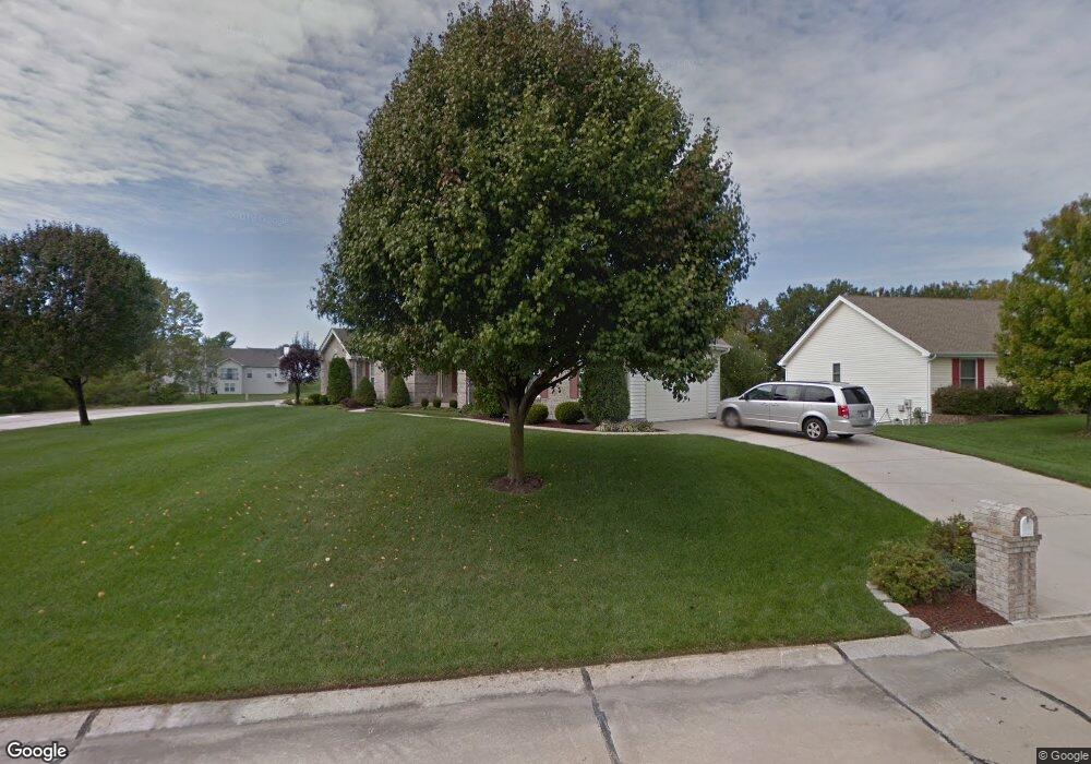
829 Dunbarton Dr Weldon Spring, MO 63304
Estimated Value: $522,915 - $641,000
3
Beds
3
Baths
2,288
Sq Ft
$245/Sq Ft
Est. Value
About This Home
This home is located at 829 Dunbarton Dr, Weldon Spring, MO 63304 and is currently estimated at $560,479, approximately $244 per square foot. 829 Dunbarton Dr is a home located in St. Charles County with nearby schools including Independence Elementary School, Francis Howell Middle School, and Francis Howell Union High School.
Ownership History
Date
Name
Owned For
Owner Type
Purchase Details
Closed on
Mar 3, 2003
Sold by
Roy Arthur J and Roy Frances P
Bought by
Roy Ladonna Y and Roy Kevin A
Current Estimated Value
Purchase Details
Closed on
Mar 19, 1999
Sold by
Lexington Homes Inc
Bought by
Roy Arthur J and Roy Frances P
Home Financials for this Owner
Home Financials are based on the most recent Mortgage that was taken out on this home.
Original Mortgage
$125,000
Interest Rate
6.69%
Create a Home Valuation Report for This Property
The Home Valuation Report is an in-depth analysis detailing your home's value as well as a comparison with similar homes in the area
Home Values in the Area
Average Home Value in this Area
Purchase History
| Date | Buyer | Sale Price | Title Company |
|---|---|---|---|
| Roy Ladonna Y | -- | -- | |
| Roy Arthur J | $236,207 | -- | |
| Lexington Homes Inc | -- | -- |
Source: Public Records
Mortgage History
| Date | Status | Borrower | Loan Amount |
|---|---|---|---|
| Previous Owner | Roy Arthur J | $125,000 |
Source: Public Records
Tax History
| Year | Tax Paid | Tax Assessment Tax Assessment Total Assessment is a certain percentage of the fair market value that is determined by local assessors to be the total taxable value of land and additions on the property. | Land | Improvement |
|---|---|---|---|---|
| 2025 | $4,759 | $86,917 | -- | -- |
| 2023 | $4,757 | $79,791 | $0 | $0 |
| 2022 | $4,414 | $68,765 | $0 | $0 |
| 2021 | $4,418 | $68,765 | $0 | $0 |
| 2020 | $4,318 | $65,058 | $0 | $0 |
| 2019 | $4,298 | $65,058 | $0 | $0 |
| 2018 | $4,484 | $64,903 | $0 | $0 |
| 2017 | $4,447 | $64,903 | $0 | $0 |
| 2016 | $3,985 | $55,981 | $0 | $0 |
| 2015 | $3,948 | $55,981 | $0 | $0 |
| 2014 | $3,717 | $51,120 | $0 | $0 |
Source: Public Records
Map
Nearby Homes
- 5527 Hennsley Cir
- 5534 Wavecrest Cir
- 14 Walnut Hill Ct
- 323 Wildberry Ln
- 0 Gutermuth Rd
- 1 Belcourt Cir
- 1317 Auburn Hills Dr
- 1005 Waldo Ln
- 1334 Auburn Hills Dr
- 828 Nancy Ln
- 1218 Saddlemaker Dr
- 102 Enclave Terrace Ct
- 106 Cottle Creek Way
- 110 Cottle Creek Way
- 217 Bottlebrush Grove Ct
- 0 Universal Design Prairie Bluff Unit MAR24041208
- 116 Cottle Creek Way
- 301 Switchgrass Landing Ln
- 3009 Bruce Trail Ct
- 3004 Bruce Trail Ct
- 833 Dunbarton Dr
- 5651 Wrenwyck Place
- 837 Dunbarton Dr
- 5654 Wrenwyck Place
- 5597 Hennsley Cir
- 1 Charing Cross Ct
- 821 Dunbarton Dr
- 5624 Grinnell Ct
- 5596 Hennsley Cir
- 841 Dunbarton Dr
- 5741 Wrenwyck Place
- 5595 Hennsley Cir
- 5737 Wrenwyck Place
- 5620 Grinnell Ct
- 3 Charing Cross Ct
- 840 Dunbarton Dr
- 817 Dunbarton Dr
- 5594 Hennsley Cir
- 845 Dunbarton Dr
- 5733 Wrenwyck Place
Your Personal Tour Guide
Ask me questions while you tour the home.