829 Main St Acushnet, MA 02743
Upper Acushnet NeighborhoodEstimated Value: $771,000 - $857,000
4
Beds
3
Baths
2,438
Sq Ft
$342/Sq Ft
Est. Value
About This Home
This home is located at 829 Main St, Acushnet, MA 02743 and is currently estimated at $833,744, approximately $341 per square foot. 829 Main St is a home located in Bristol County with nearby schools including Acushnet Elementary School, Albert F Ford Middle School, and St Francis Xavier Elementary School.
Ownership History
Date
Name
Owned For
Owner Type
Purchase Details
Closed on
Sep 21, 2024
Sold by
Bernardo Robert and Bernardo Amy
Bought by
Bernardo Ft and Bernardo
Current Estimated Value
Create a Home Valuation Report for This Property
The Home Valuation Report is an in-depth analysis detailing your home's value as well as a comparison with similar homes in the area
Home Values in the Area
Average Home Value in this Area
Purchase History
| Date | Buyer | Sale Price | Title Company |
|---|---|---|---|
| Bernardo Ft | -- | None Available | |
| Bernardo Ft | -- | None Available |
Source: Public Records
Tax History
| Year | Tax Paid | Tax Assessment Tax Assessment Total Assessment is a certain percentage of the fair market value that is determined by local assessors to be the total taxable value of land and additions on the property. | Land | Improvement |
|---|---|---|---|---|
| 2025 | $88 | $811,600 | $223,600 | $588,000 |
| 2024 | $8,367 | $733,300 | $214,300 | $519,000 |
| 2023 | $8,165 | $680,400 | $168,600 | $511,800 |
| 2022 | $7,920 | $596,800 | $159,600 | $437,200 |
| 2021 | $7,304 | $528,100 | $159,600 | $368,500 |
| 2020 | $7,236 | $519,100 | $150,600 | $368,500 |
| 2019 | $7,080 | $499,300 | $147,600 | $351,700 |
| 2018 | $6,580 | $456,300 | $147,600 | $308,700 |
| 2017 | $6,885 | $476,800 | $147,600 | $329,200 |
| 2016 | $7,070 | $486,600 | $153,600 | $333,000 |
| 2015 | $6,467 | $452,900 | $153,600 | $299,300 |
Source: Public Records
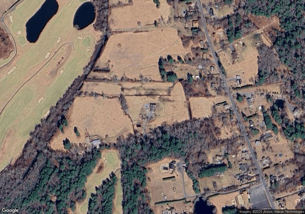
Map
Nearby Homes
- 0 Land Way Unit 73479153
- 489 Main St
- 363 Main St
- 0 Keene Rd Unit 73459818
- 329 Middle Rd
- 25 Pershing Ave
- 134 Nyes Ln
- 23 Oliveira Ave
- 7 Hamlin St
- 168 Keene Rd
- 973 Pembroke St
- 1015 Forbes St
- 191 Hathaway Rd
- SS Charbonneau Ln
- 23 Coury Dr
- 40 Foley Dr
- ES Acushnet Ave
- 199 Quaker Ln
- 12 White St
- 0 Hathaway Rd Unit 73469544
- 795 Main St
- 777 Main St
- 811 Main St
- 831 Main St
- 835 Main St
- 845 Main St
- 827 Main St
- 823 Main St
- Lot 39J N Main St
- 861 N Main St
- 9 Lee's Trail
- 0 Edgewood Acres Unit 70094678
- 0 Confidential Way Unit 73340085
- 0 Caravan Trail Unit 73093918
- 0 Lakemont Unit 73093919
- Lot 2 Bradford Ave
- 3 W Hill Dr
- 4 Labonte St
- 853 Main St
- 819 Main St
Your Personal Tour Guide
Ask me questions while you tour the home.