829 Phillip Causey Rd Doerun, GA 31744
Estimated Value: $309,541 - $469,000
3
Beds
2
Baths
2,128
Sq Ft
$181/Sq Ft
Est. Value
About This Home
This home is located at 829 Phillip Causey Rd, Doerun, GA 31744 and is currently estimated at $385,385, approximately $181 per square foot. 829 Phillip Causey Rd is a home located in Worth County with nearby schools including Worth County Primary School, Worth County Elementary School, and Worth County Middle School.
Ownership History
Date
Name
Owned For
Owner Type
Purchase Details
Closed on
Apr 29, 2022
Sold by
Tompkins Daniel R
Bought by
Lott Hunter Walton and Lott Jordyn Paramore
Current Estimated Value
Home Financials for this Owner
Home Financials are based on the most recent Mortgage that was taken out on this home.
Original Mortgage
$282,625
Outstanding Balance
$264,180
Interest Rate
4.42%
Mortgage Type
New Conventional
Estimated Equity
$121,205
Purchase Details
Closed on
Oct 29, 2020
Sold by
Tompkins Frances L
Bought by
Tompkins Daniel R
Purchase Details
Closed on
May 22, 1996
Bought by
Tompkins Frances L
Create a Home Valuation Report for This Property
The Home Valuation Report is an in-depth analysis detailing your home's value as well as a comparison with similar homes in the area
Purchase History
| Date | Buyer | Sale Price | Title Company |
|---|---|---|---|
| Lott Hunter Walton | $297,500 | -- | |
| Tompkins Daniel R | -- | -- | |
| Tompkins Frances L | -- | -- |
Source: Public Records
Mortgage History
| Date | Status | Borrower | Loan Amount |
|---|---|---|---|
| Open | Lott Hunter Walton | $282,625 |
Source: Public Records
Tax History
| Year | Tax Paid | Tax Assessment Tax Assessment Total Assessment is a certain percentage of the fair market value that is determined by local assessors to be the total taxable value of land and additions on the property. | Land | Improvement |
|---|---|---|---|---|
| 2025 | $3,150 | $133,372 | $6,065 | $127,307 |
| 2024 | $2,494 | $78,065 | $6,065 | $72,000 |
| 2023 | $2,494 | $78,065 | $6,065 | $72,000 |
| 2022 | $2,495 | $78,065 | $6,065 | $72,000 |
| 2021 | $2,473 | $78,065 | $6,065 | $72,000 |
| 2020 | $2,421 | $78,065 | $6,065 | $72,000 |
| 2019 | $2,421 | $78,065 | $6,065 | $72,000 |
| 2018 | $2,237 | $78,065 | $6,065 | $72,000 |
| 2017 | $1,733 | $60,489 | $6,065 | $54,424 |
| 2016 | $1,677 | $60,489 | $6,065 | $54,424 |
| 2015 | $1,680 | $60,489 | $6,065 | $54,424 |
| 2014 | $1,680 | $60,489 | $6,065 | $54,424 |
| 2013 | -- | $59,531 | $5,107 | $54,424 |
| 2012 | -- | $59,531 | $5,107 | $54,424 |
Source: Public Records
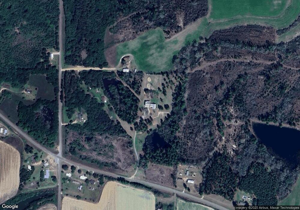
Map
Nearby Homes
- 441 Weaver Rd
- 4263 Doerun Norman Park Rd
- 512 Hagin Still Rd
- 104 Union Ln
- 1852 Doerun Norman Park Rd
- 323 N Broad St
- 0 Sumner Rd S
- 485 Davis Rd
- 417 W Bay Ave
- 1364 Evergreen Rd
- 175 Toni Lee Rd
- 159 Golden Rd
- 3981 Old Doerun Rd
- 0 Wa Patterson Rd
- 0 Lambert Ln Unit 26392716
- 0 Lambert Ln Unit 10696640
- 1017 Sumner Rd S
- 575 Mccarty Rd
- 702 York Rd
- Sardis Schley Church Rd
- 1657 Cane Mill Rd
- 1651 Cane Mill Rd
- 1669 Cane Mill Rd
- 849 Phillip Causey Rd
- 1648 Cane Mill Rd
- 871 Phillip Causey Rd
- 738 Phillip Causey Rd
- 1615 Cane Mill Rd
- 1704 Cane Mill Rd
- 1603 Cane Mill Rd
- 1587 Cane Mill Rd
- 913 Phillip Causey Rd
- 882 Phillip Causey Rd
- 1561 Cane Mill Rd
- 1774 Cane Mill Rd
- 1567 Cane Mill Rd
- 1555 Cane Mill Rd
- 1547 Cane Mill Rd
- 636 Phillip Causey Rd
- 1514 Cane Mill Rd
Your Personal Tour Guide
Ask me questions while you tour the home.