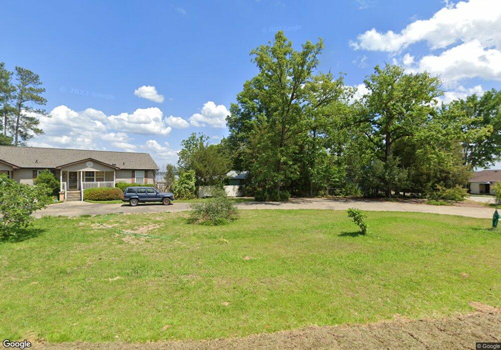
829 Silverpoint Rd Chapin, SC 29036
Estimated Value: $424,000 - $632,000
3
Beds
2
Baths
1,680
Sq Ft
$298/Sq Ft
Est. Value
About This Home
This home is located at 829 Silverpoint Rd, Chapin, SC 29036 and is currently estimated at $501,332, approximately $298 per square foot. 829 Silverpoint Rd is a home with nearby schools including Chapin Elementary School, Chapin Intermediate, and Chapin High School.
Ownership History
Date
Name
Owned For
Owner Type
Purchase Details
Closed on
Jan 3, 2007
Sold by
Ringer Gerald E and Ringer Stephanie M
Bought by
Bedenbaugh R Kent and Bedenbaugh Marilyn W
Current Estimated Value
Home Financials for this Owner
Home Financials are based on the most recent Mortgage that was taken out on this home.
Original Mortgage
$285,200
Outstanding Balance
$168,913
Interest Rate
6.05%
Mortgage Type
Purchase Money Mortgage
Estimated Equity
$332,419
Purchase Details
Closed on
Jan 8, 1999
Sold by
Jervey Gail Elaine Oliver
Bought by
Ringer Gerald E
Create a Home Valuation Report for This Property
The Home Valuation Report is an in-depth analysis detailing your home's value as well as a comparison with similar homes in the area
Home Values in the Area
Average Home Value in this Area
Purchase History
| Date | Buyer | Sale Price | Title Company |
|---|---|---|---|
| Bedenbaugh R Kent | $356,500 | None Available | |
| Ringer Gerald E | $53,000 | -- |
Source: Public Records
Mortgage History
| Date | Status | Borrower | Loan Amount |
|---|---|---|---|
| Open | Bedenbaugh R Kent | $285,200 |
Source: Public Records
Tax History
| Year | Tax Paid | Tax Assessment Tax Assessment Total Assessment is a certain percentage of the fair market value that is determined by local assessors to be the total taxable value of land and additions on the property. | Land | Improvement |
|---|---|---|---|---|
| 2024 | $1,303 | $10,149 | $4,000 | $6,149 |
| 2023 | $1,161 | $10,149 | $4,000 | $6,149 |
| 2022 | $1,567 | $10,149 | $4,000 | $6,149 |
| 2020 | $1,641 | $10,149 | $4,000 | $6,149 |
| 2019 | $1,534 | $9,333 | $3,584 | $5,749 |
| 2018 | $1,350 | $9,333 | $3,584 | $5,749 |
| 2017 | $1,316 | $9,333 | $3,584 | $5,749 |
| 2016 | $1,349 | $9,333 | $3,584 | $5,749 |
| 2014 | $1,498 | $10,398 | $4,480 | $5,918 |
| 2013 | -- | $10,400 | $4,480 | $5,920 |
Source: Public Records
Map
Nearby Homes
- 220 Old Cedar Point
- 201 Old Cedar Point
- 0 Shamrock Ct Unit 617155
- 148 Parapet Trail
- 0 Green Meadow Dr Unit 617154
- 110 Night Harbor Dr
- 404 Lombard Way
- 124 Quiet Cove Dr
- 201 Edgewood Dr
- 343 Night Harbor Dr
- 1304 Amicks Ferry Rd
- 433 Oxenbridge Way
- 429 Oxenbridge Way
- 329 Oxenbridge Way
- 417 Oxenbridge Way
- 117 Bogater Rd
- 0 Three Point Rd
- 530 Misty Banks Dr
- 126 Lake Summit Dr
- 110 Lake Summit Dr
- 833 Silverpoint Rd
- 821 Silverpoint Rd
- 837 Silverpoint Rd
- 817 Silverpoint Rd
- 817 Silverpoint Rd
- 824 Silverpoint Rd
- 818 Silverpoint Rd
- 841 Silverpoint Rd
- 818 Silverpoint Rd
- 832 Silverpoint Rd
- 830 Silverpoint Rd
- 826 Silverpoint Rd
- 828 Silverpoint Rd
- 836 Silverpoint Rd
- 838 Silverpoint Rd
- 840 Silverpoint Rd
- 813 Silverpoint Rd
- 809 Silverpoint Rd
- 808 Silverpoint Rd
- 714 Green Meadow Dr
Your Personal Tour Guide
Ask me questions while you tour the home.