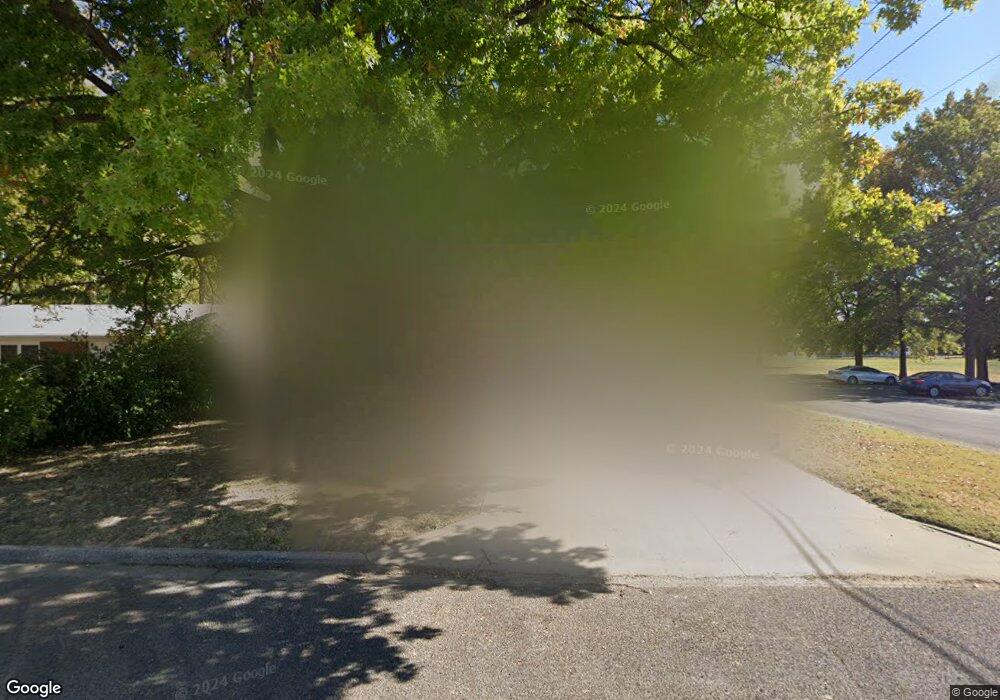
829 Vernon St East Alton, IL 62024
Estimated Value: $177,445 - $185,000
4
Beds
2
Baths
1,711
Sq Ft
$107/Sq Ft
Est. Value
About This Home
This home is located at 829 Vernon St, East Alton, IL 62024 and is currently estimated at $182,361, approximately $106 per square foot. 829 Vernon St is a home located in Madison County with nearby schools including Eastwood Elementary School, East Alton Middle School, and East Alton-Wood River High School.
Ownership History
Date
Name
Owned For
Owner Type
Purchase Details
Closed on
Mar 31, 2023
Sold by
Farmer Deborah S
Bought by
Yarborough Brandon J
Current Estimated Value
Home Financials for this Owner
Home Financials are based on the most recent Mortgage that was taken out on this home.
Original Mortgage
$150,350
Outstanding Balance
$145,897
Interest Rate
6.25%
Mortgage Type
New Conventional
Estimated Equity
$36,464
Purchase Details
Closed on
May 6, 2008
Sold by
Farmer Robert D
Bought by
Farmer Deborah S
Create a Home Valuation Report for This Property
The Home Valuation Report is an in-depth analysis detailing your home's value as well as a comparison with similar homes in the area
Home Values in the Area
Average Home Value in this Area
Purchase History
| Date | Buyer | Sale Price | Title Company |
|---|---|---|---|
| Yarborough Brandon J | $155,000 | Netco Title | |
| Farmer Deborah S | -- | None Available |
Source: Public Records
Mortgage History
| Date | Status | Borrower | Loan Amount |
|---|---|---|---|
| Open | Yarborough Brandon J | $150,350 |
Source: Public Records
Tax History Compared to Growth
Tax History
| Year | Tax Paid | Tax Assessment Tax Assessment Total Assessment is a certain percentage of the fair market value that is determined by local assessors to be the total taxable value of land and additions on the property. | Land | Improvement |
|---|---|---|---|---|
| 2024 | $4,577 | $50,830 | $4,320 | $46,510 |
| 2023 | $4,577 | $47,390 | $4,030 | $43,360 |
| 2022 | $4,307 | $43,740 | $3,720 | $40,020 |
| 2021 | $4,001 | $40,770 | $3,470 | $37,300 |
| 2020 | $3,854 | $39,260 | $3,340 | $35,920 |
| 2019 | $3,797 | $38,090 | $3,240 | $34,850 |
| 2018 | $3,707 | $36,190 | $3,080 | $33,110 |
| 2017 | $3,470 | $35,330 | $3,010 | $32,320 |
| 2016 | $3,423 | $35,330 | $3,010 | $32,320 |
| 2015 | $3,276 | $34,960 | $2,980 | $31,980 |
| 2014 | $3,276 | $34,960 | $2,980 | $31,980 |
| 2013 | $3,276 | $35,460 | $3,020 | $32,440 |
Source: Public Records
Map
Nearby Homes
- 345 Illinois Ave
- 104 Whitelaw Ave
- 121 Whitelaw Ave
- 283 Hi Pointe Place
- 98 Wood River Ave
- 959 Cedar Dr
- 250 Hi Pointe Place
- 604 Wood River Ave
- 133 Lincoln Ave
- 523 Lincoln Ave
- 523 Wilson Ave
- 420 Bowman Ave
- 777 Condit St
- 833 State St
- 211 S 9th St
- 209 Elble Ave
- 141 S 9th St
- 144 S 9th St
- 726 Rice St
- 523 Broadway