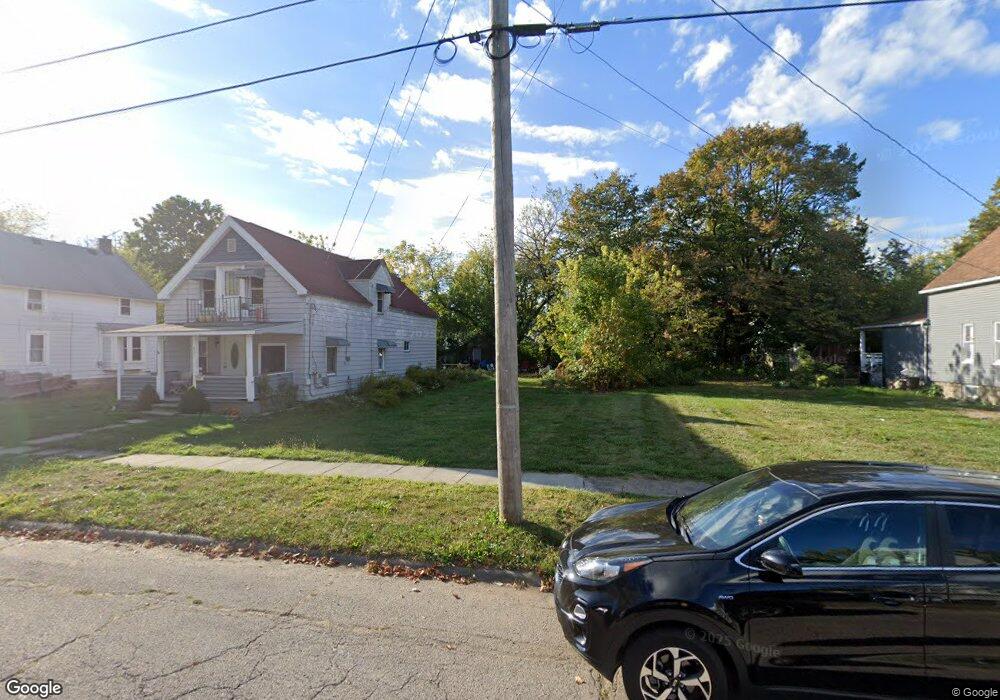
829 W 17th St Lorain, OH 44052
Estimated Value: $82,348 - $92,000
3
Beds
1
Bath
1,068
Sq Ft
$82/Sq Ft
Est. Value
About This Home
This home is located at 829 W 17th St, Lorain, OH 44052 and is currently estimated at $87,174, approximately $81 per square foot. 829 W 17th St is a home located in Lorain County with nearby schools including Hawthorne Elementary School, Longfellow Middle School, and Lorain High School.
Ownership History
Date
Name
Owned For
Owner Type
Purchase Details
Closed on
Oct 27, 2025
Sold by
Lorain County Land Reutilization Corpora
Bought by
Mcfall Daniel
Current Estimated Value
Purchase Details
Closed on
Apr 20, 2017
Sold by
Camm Asset Management Co
Bought by
Lorain County Land Reutilization Corp
Purchase Details
Closed on
Feb 28, 2001
Sold by
Mary Endrai and Harriet Scesniak
Bought by
The Camm Asset Management Company
Purchase Details
Closed on
Feb 20, 2001
Sold by
Estate Of Harriet Scesniak
Bought by
Endrai Mary
Purchase Details
Closed on
Jun 23, 1998
Sold by
Endral Mary A and Scesniak Harriet
Bought by
Estate Homes Inc
Home Financials for this Owner
Home Financials are based on the most recent Mortgage that was taken out on this home.
Original Mortgage
$16,200
Interest Rate
7.15%
Mortgage Type
Seller Take Back
Create a Home Valuation Report for This Property
The Home Valuation Report is an in-depth analysis detailing your home's value as well as a comparison with similar homes in the area
Home Values in the Area
Average Home Value in this Area
Purchase History
| Date | Buyer | Sale Price | Title Company |
|---|---|---|---|
| Mcfall Daniel | -- | None Listed On Document | |
| Lorain County Land Reutilization Corp | -- | -- | |
| The Camm Asset Management Company | $21,500 | -- | |
| Endrai Mary | -- | -- | |
| Estate Homes Inc | $21,500 | -- |
Source: Public Records
Mortgage History
| Date | Status | Borrower | Loan Amount |
|---|---|---|---|
| Previous Owner | Estate Homes Inc | $16,200 |
Source: Public Records
Tax History
| Year | Tax Paid | Tax Assessment Tax Assessment Total Assessment is a certain percentage of the fair market value that is determined by local assessors to be the total taxable value of land and additions on the property. | Land | Improvement |
|---|---|---|---|---|
| 2024 | -- | -- | -- | -- |
| 2023 | $64 | $0 | $0 | $0 |
| 2022 | $37 | $2,016 | $2,016 | $0 |
| 2021 | $0 | $2,020 | $2,020 | $0 |
| 2020 | $0 | $2,020 | $2,020 | $0 |
| 2019 | $600 | $2,020 | $2,020 | $0 |
| 2018 | $0 | $6,970 | $2,020 | $4,950 |
| 2017 | $584 | $9,510 | $2,270 | $7,240 |
| 2016 | $600 | $9,510 | $2,270 | $7,240 |
| 2015 | $567 | $9,510 | $2,270 | $7,240 |
| 2014 | $551 | $8,810 | $2,100 | $6,710 |
| 2013 | $520 | $8,810 | $2,100 | $6,710 |
Source: Public Records
Map
Nearby Homes
- 831 W 17th St
- 901 W 14th St
- 1725 Washington Ave
- 910 W 14th St
- 1850 Washington Ave
- 545 W 14th St
- 707 W 20th St
- 902 W 21st St
- 444 W 13th St
- 1702 Lexington Ave
- 807 W 21st St
- 507 W 20th St
- 330 W 17th St
- 1035 W 12th St
- 1935 Hamilton Ave
- V/L E 22nd St
- 1033 W 21st St
- 935 W 22nd St
- 2027 Lexington Ave
- 1134 W 19th St
Your Personal Tour Guide
Ask me questions while you tour the home.